MyTopo
Classic USGS Dutch Creek Nebraska 7.5'x7.5' Topo Map
Couldn't load pickup availability
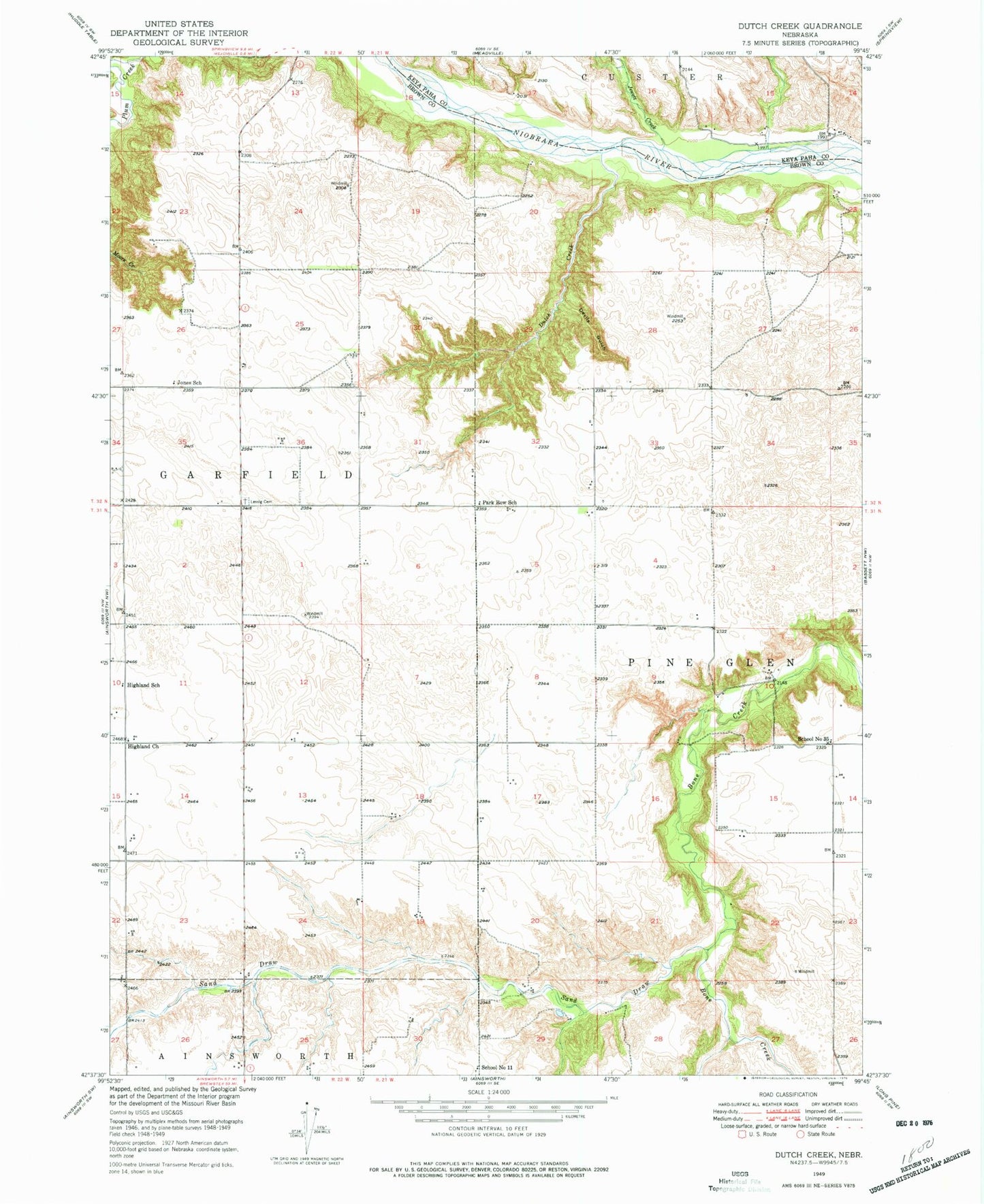
Historical USGS topographic quad map of Dutch Creek in the state of Nebraska. Map scale may vary for some years, but is generally around 1:24,000. Print size is approximately 24" x 27"
This quadrangle is in the following counties: Brown, Keya Paha.
The map contains contour lines, roads, rivers, towns, and lakes. Printed on high-quality waterproof paper with UV fade-resistant inks, and shipped rolled.
Contains the following named places: Devils Gulch, Dutch Creek, Highland Church, Highland Grove Public School, Jewett Creek, Keller Park Ponds, Keller Park State Recreation Area, Keller Park Trail, Keller School Land State Wildlife Management Area, Park Row School, Sand Draw, School Number 11, School Number 35, School Number 57