MyTopo
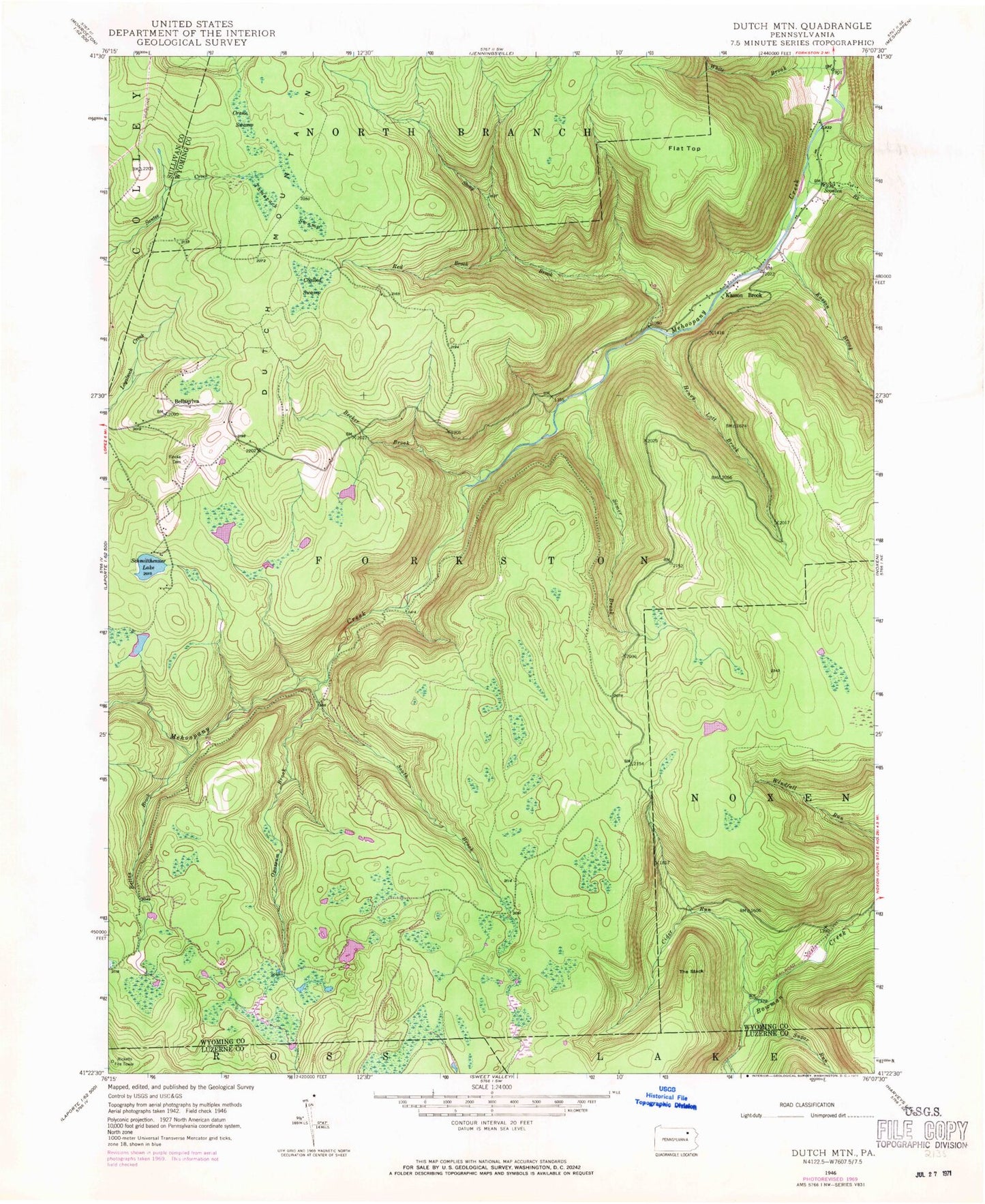
Classic USGS Dutch Mountain Pennsylvania 7.5'x7.5' Topo Map
Couldn't load pickup availability
Historical USGS topographic quad map of Dutch Mountain in the state of Pennsylvania. Typical map scale is 1:24,000, but may vary for certain years, if available. Print size: 24" x 27"
This quadrangle is in the following counties: Luzerne, Sullivan, Wyoming.
The map contains contour lines, roads, rivers, towns, and lakes. Printed on high-quality waterproof paper with UV fade-resistant inks, and shipped rolled.
Contains the following named places: Becker Brook, Bellas Brook, Bellasylva, Cider Run, Coalbed Swamp, Crane Swamp, Dutch Mountain, Fincke Cemetery, Flat Top, Henry Lott Brook, Junk Cemetery, Kasson Brook, Kasson Brook, Opossum Brook, Red Brook, Schmitthenner Lake, Somer Brook, Stony Brook, Tamarack Swamp, The Stack, Sugar Run, White Brook, Scouten Brook, South Brook, Short Mountain, Township of Forkston, Becker Brook, Bellas Brook, Bellasylva, Cider Run, Coalbed Swamp, Crane Swamp, Dutch Mountain, Fincke Cemetery, Flat Top, Henry Lott Brook, Junk Cemetery, Kasson Brook, Kasson Brook, Opossum Brook, Red Brook, Schmitthenner Lake, Somer Brook, Stony Brook, Tamarack Swamp, The Stack, Sugar Run, White Brook, Scouten Brook, South Brook, Short Mountain, Township of Forkston


