MyTopo
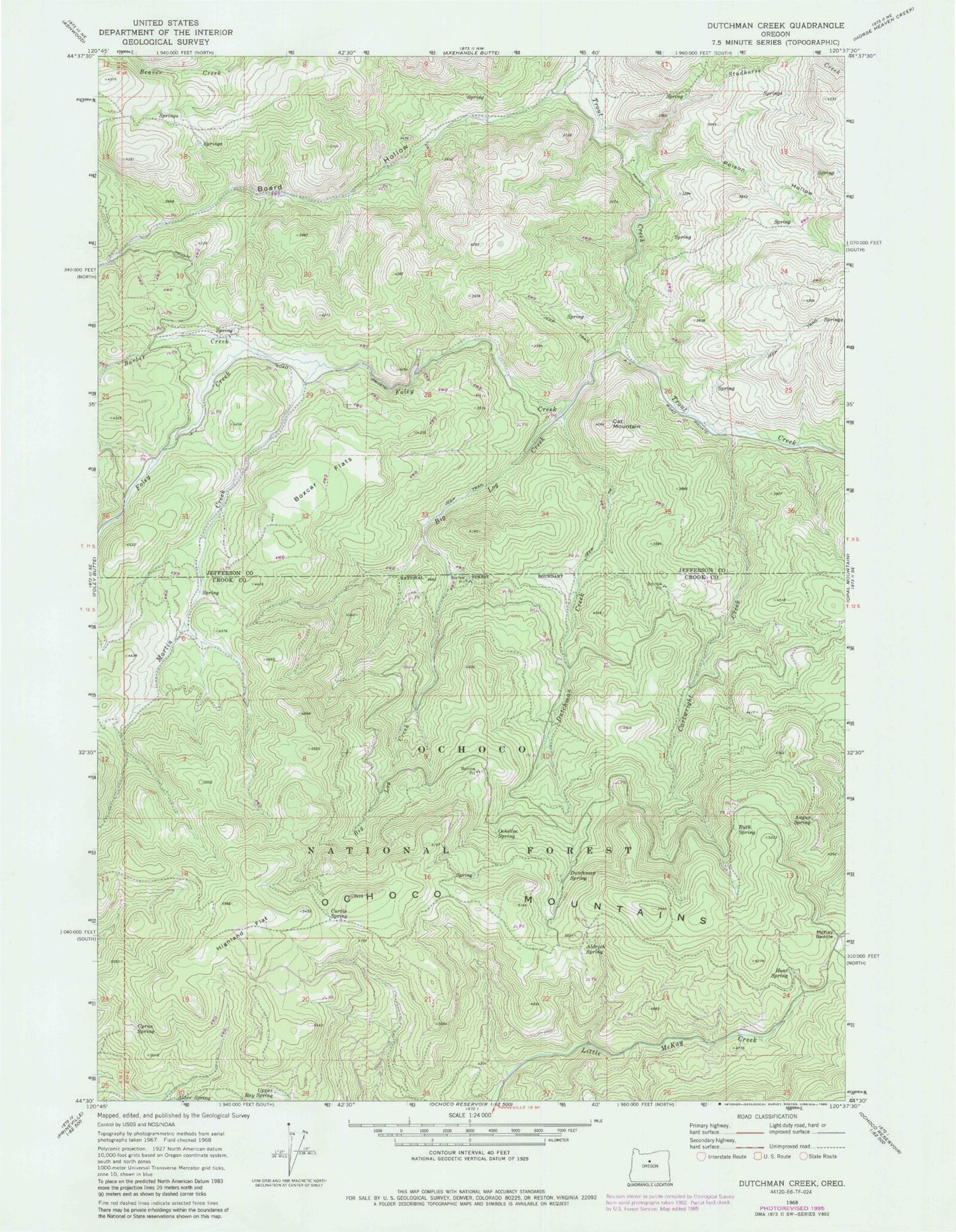
Classic USGS Dutchman Creek Oregon 7.5'x7.5' Topo Map
Couldn't load pickup availability
Historical USGS topographic quad map of Dutchman Creek in the state of Oregon. Map scale may vary for some years, but is generally around 1:24,000. Print size is approximately 24" x 27"
This quadrangle is in the following counties: Crook, Jefferson.
The map contains contour lines, roads, rivers, towns, and lakes. Printed on high-quality waterproof paper with UV fade-resistant inks, and shipped rolled.
Contains the following named places: Alder Spring, Aldrich Spring, Angus Spring, Barber Creek, Big Log Creek, Board Hollow, Boxcar Flats, Cartwright Creek, Cat Mountain, Curtis Spring, Cyrus Spring, Dutchman Creek, Dutchman Spring, Foley Creek, Highland Flat, Hunt Spring, Martin Creek, McKay Saddle, Ochillee Spring, Poison Hollow, Ruth Spring, Studhorse Creek, Trout Creek Cow Camp, Upper Ray Spring