MyTopo
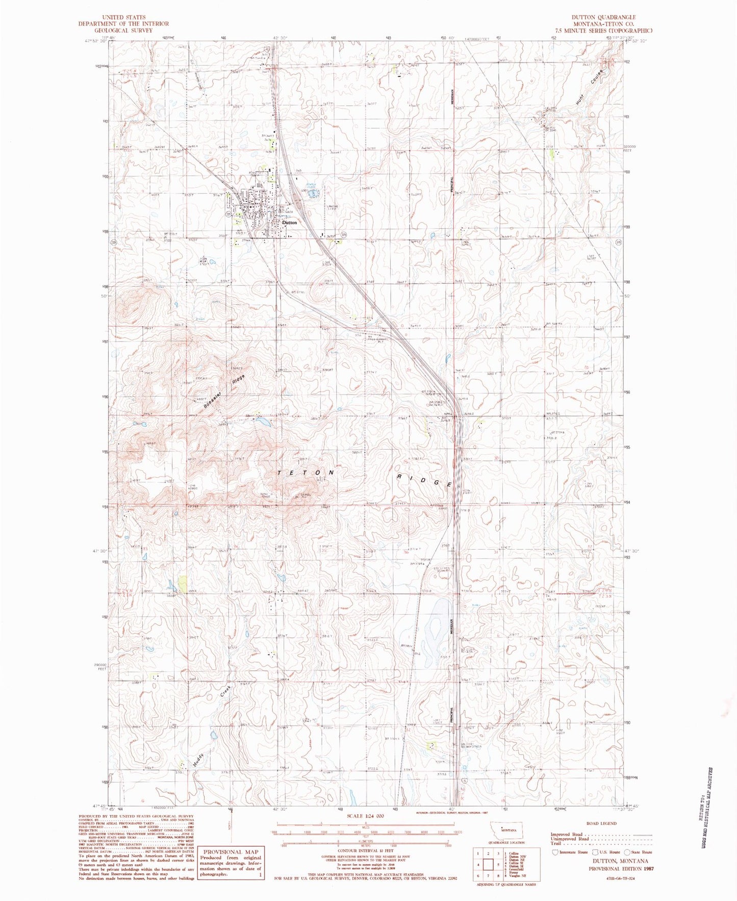
Classic USGS Dutton Montana 7.5'x7.5' Topo Map
Couldn't load pickup availability
Historical USGS topographic quad map of Dutton in the state of Montana. Map scale may vary for some years, but is generally around 1:24,000. Print size is approximately 24" x 27"
This quadrangle is in the following counties: Teton.
The map contains contour lines, roads, rivers, towns, and lakes. Printed on high-quality waterproof paper with UV fade-resistant inks, and shipped rolled.
Contains the following named places: 23N01W03AAC_01 Well, Bethany Lutheran Church, Bosseler Ridge, Cargill, Dutton, Dutton Airport, Dutton Cemetery, Dutton Co-operative Elevator, Dutton Farmers Elevator, Dutton Post Office, Dutton Public Library, Dutton Public Schools, Dutton United Methodist Church, Dutton Volunteer Fire Department, Dutton-Power Division, Peavey Elevator, Robbie Dam, Saint Williams Catholic Church, Snider School, Teton Ridge, Thav Dam, Town of Dutton, Triangle Terminal Co-operative Elevator