MyTopo
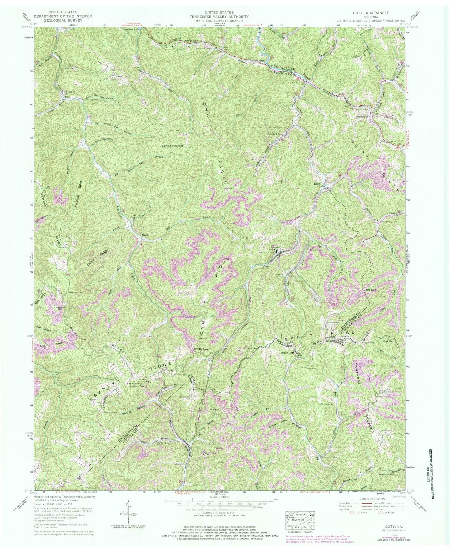
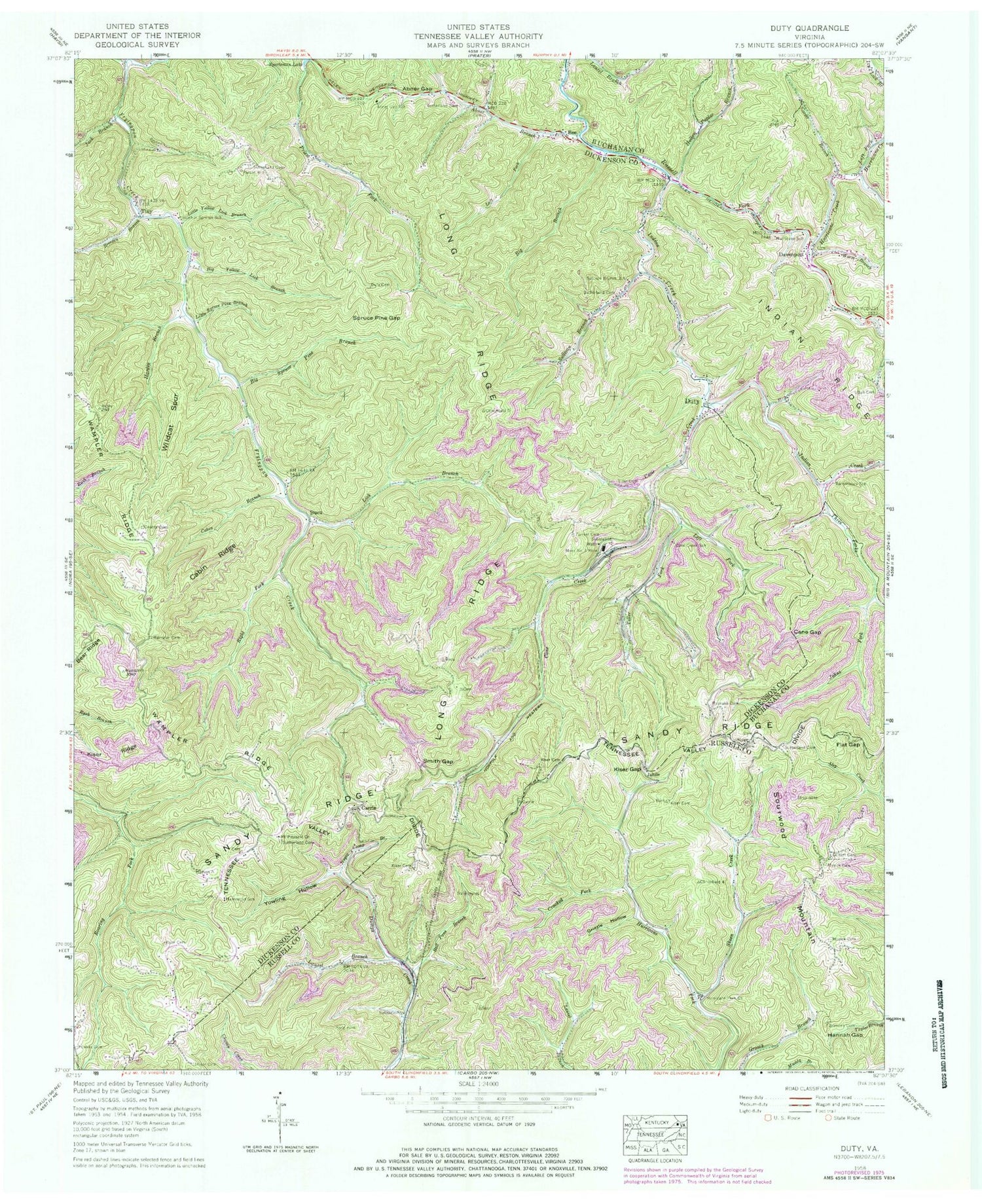
Classic USGS Duty Virginia 7.5'x7.5' Topo Map
Couldn't load pickup availability
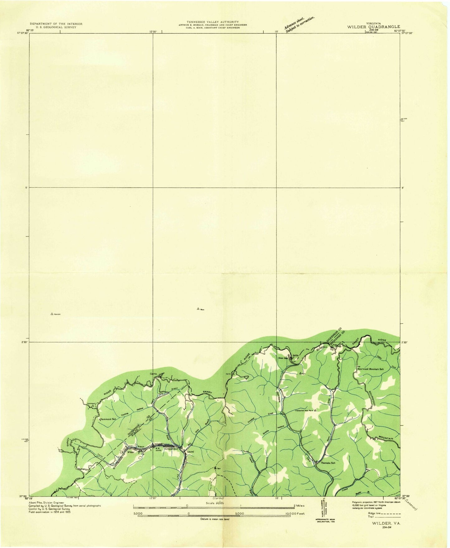
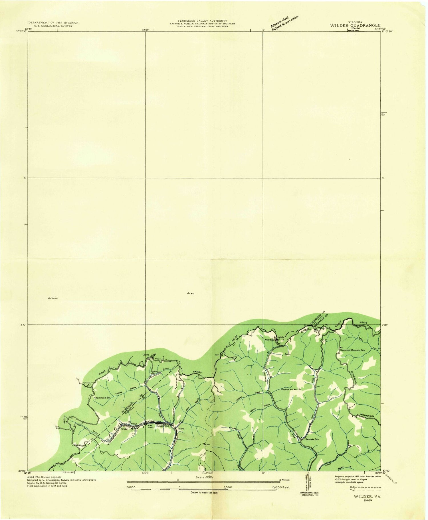
Historical USGS topographic quad map of Duty in the state of Virginia. Map scale may vary for some years, but is generally around 1:24,000. Print size is approximately 24" x 27"
This quadrangle is in the following counties: Buchanan, Dickenson, Russell.
The map contains contour lines, roads, rivers, towns, and lakes. Printed on high-quality waterproof paper with UV fade-resistant inks, and shipped rolled.
Contains the following named places: Abner Branch, Abner Gap, Abner Gap School, Ball Cemetery, Bartontown School, Bee, Big Branch, Big Spruce Pine Branch, Breeden Branch, Breeden Cemetery, Bucu, Cabin Branch, Cabin Ridge, Cane Creek, Cane Gap, Cane Gap Creek, Carrie, Carver Branch, Counts Cemetery, Crooked Fork, Davenport, Davenport Lifesaving Crew, Davenport Post Office, Duty, Duty Cemetery, Farmer Cemetery, Flat Gap, Gilbert Cemetery, Grizzle Hollow, Hammond School, Hannah Gap, Hardin Branch, Hollow Poplar Branch, Hurricane Creek, Hurricane Fork Church, Hurricane School, Indian, Indian Creek, Indian Creek School, Jack Branch, Jahile, Johns Fork, Judge, Kiser Cemetery, Kiser Gap, Kiser Ridge, Laurel, Laurel Branch, Left Fork Abner Branch, Left Fork Cane Creek, Left Fork Hurricane Creek, Lester Cemetery, Lick Branch, Lick Branch School, Little Spruce Pine Branch, Little Yellow Lick Branch, Long Ridge, Moss Number 3 Mine, Mount Pleasant Church, Musick Cemetery, Negro Camp Branch, Patton Branch, Pigeon Roost Branch, Powers Cemetery, Rasnake Cemetery, Rasnake School, Right Fork Fryingpan Creek, Roll Pone Branch, Sandy Ridge, Sandy Ridge Tunnel, Skeen Creek, Smith Gap, Sourwood Mountain, Sourwood Mountain School, Spruce Pine Gap, Sullivan Branch, Sullivan Branch School, Sulphur Springs School, Sutherland Cemetery, Three Forks, Tiller Cemetery, Tiller Fork, Tiny, Wampler Cemetery, Wampler Ridge, Wildcat Spur, Wilder, Worm Branch, Yowling Hollow, ZIP Codes: 24217, 24239


