MyTopo
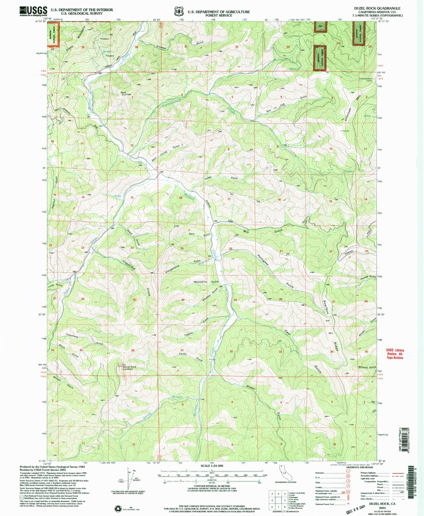
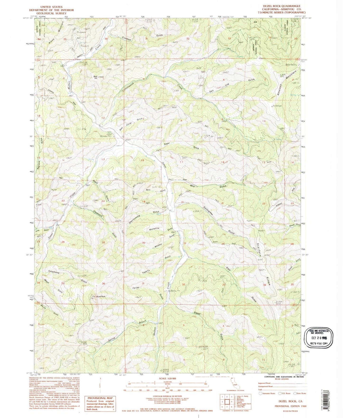
Classic USGS Duzel Rock California 7.5'x7.5' Topo Map
Couldn't load pickup availability
Historical USGS topographic quad map of Duzel Rock in the state of California. Map scale may vary for some years, but is generally around 1:24,000. Print size is approximately 24" x 27"
This quadrangle is in the following counties: Siskiyou.
The map contains contour lines, roads, rivers, towns, and lakes. Printed on high-quality waterproof paper with UV fade-resistant inks, and shipped rolled.
Contains the following named places: Antelope Mountain, Bald Hill, Barn Gulch, Beef Corral Gulch, Cedar Gulch, Clapboard Gulch, Cottonwood Creek, Crooked Gulch, Duzel Creek, Duzel Rock, East Gulch, Farley Gulch, Glendenning Gulch, Highland School, KYRE-FM (Yreka), Long Gulch, Mill Gulch, Moonshine Gulch, Piney Mountain, Portugese Gulch, Salt Log Gulch, Sissel Gulch, Spring Branch, Stack Gulch, Tapplin Gulch, Telephone Gulch, Whiskey Gulch, Wood Gulch


