
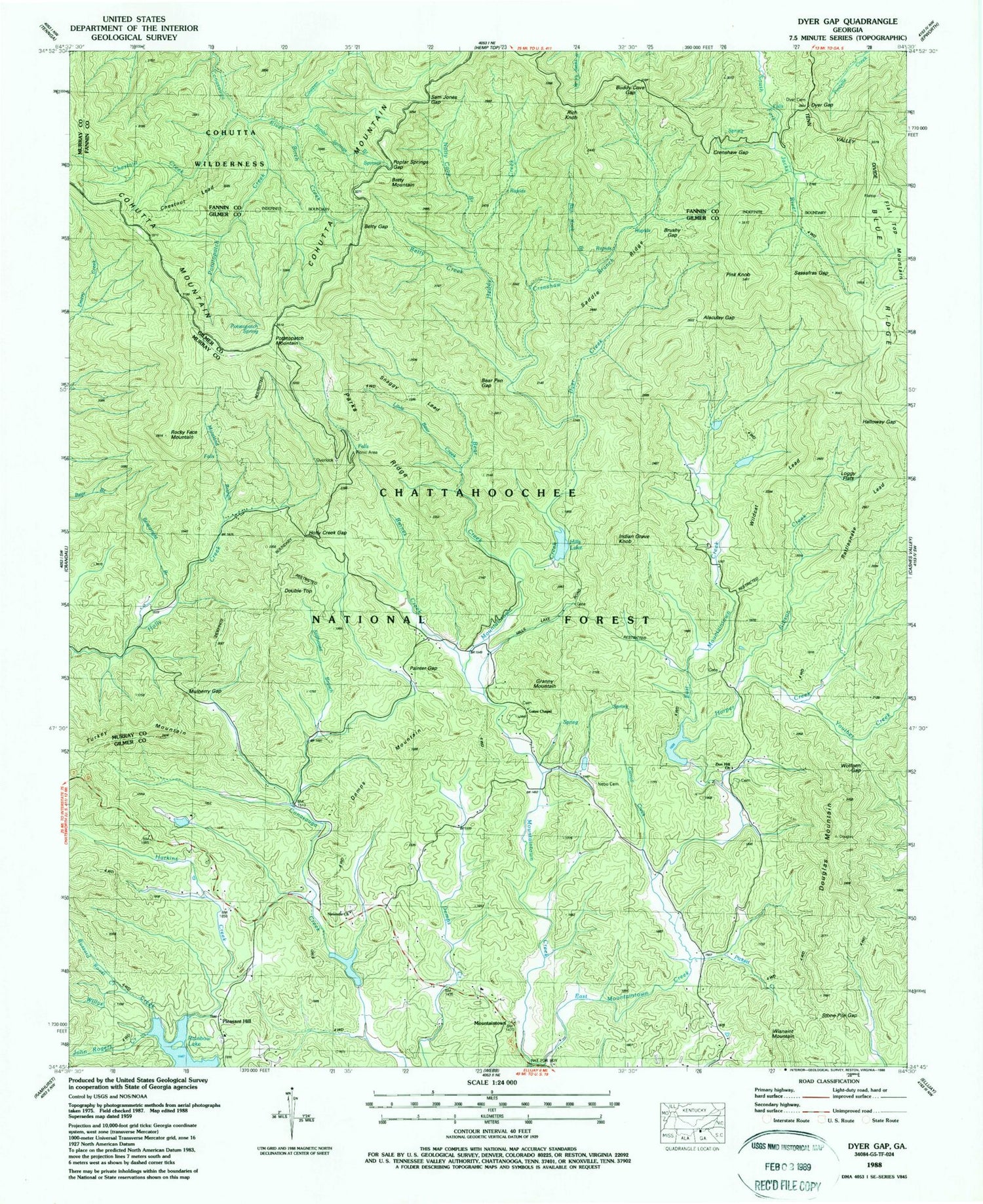
MyTopo
Classic USGS Dyer Gap Georgia 7.5'x7.5' Topo Map
Couldn't load pickup availability
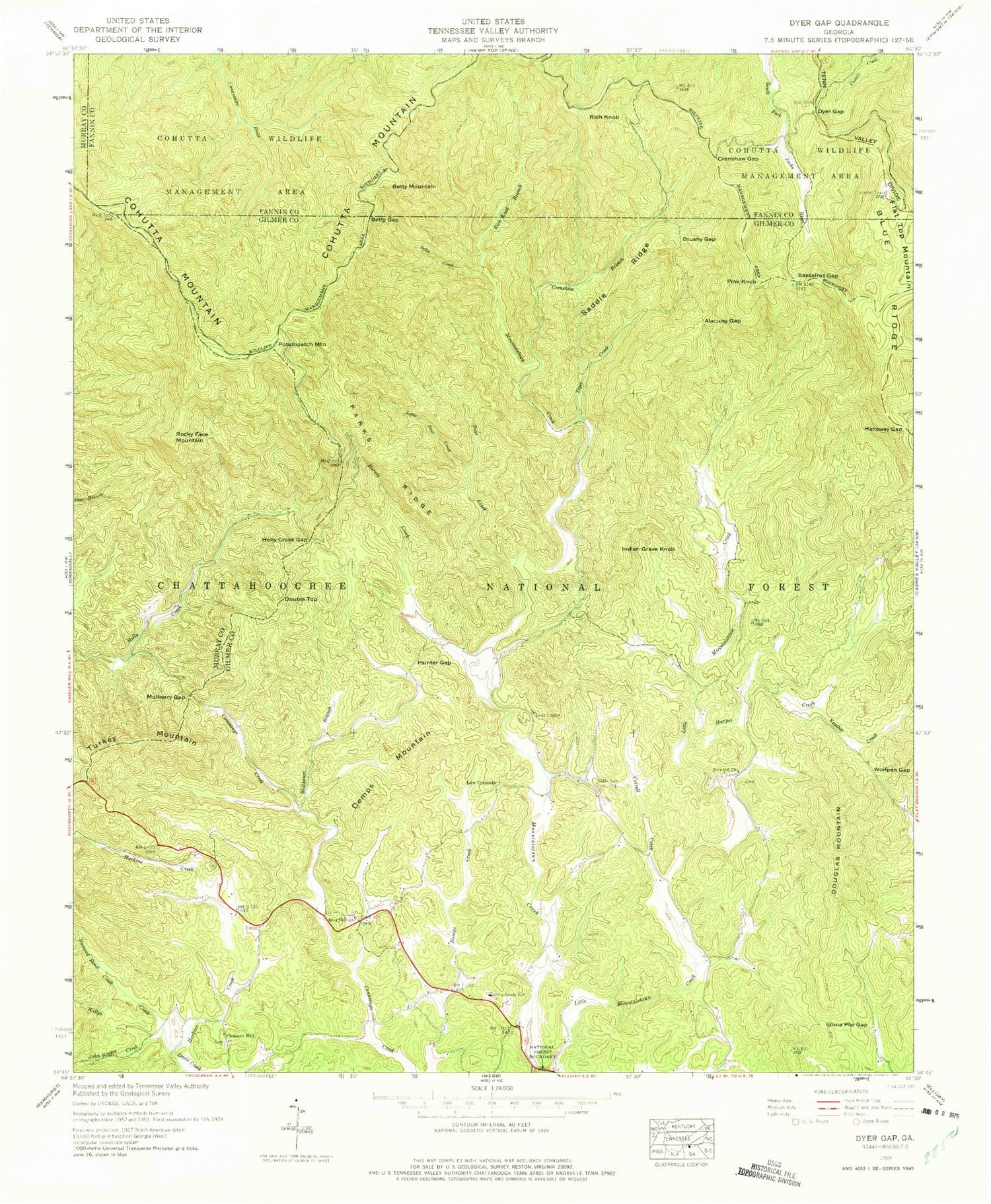
Historical USGS topographic quad map of Dyer Gap in the state of Georgia. Typical map scale is 1:24,000, but may vary for certain years, if available. Print size: 24" x 27"
This quadrangle is in the following counties: Fannin, Gilmer, Murray.
The map contains contour lines, roads, rivers, towns, and lakes. Printed on high-quality waterproof paper with UV fade-resistant inks, and shipped rolled.
Contains the following named places: Buzzard Roost Creek, John Rogers Creek, Alaculsy Gap, Barnes Creek, Bear Creek, Betty Creek, Betty Gap, Carroll Creek, Crenshaw Branch, Crenshaw Gap, Dyer Mountain Cemetery, Dyer Creek, Dyer Gap, Halloway Gap, Harkins Creek, Harper Creek, Henry Grady School, Holly Creek Gap, Law Grounds, Little Bear Creek, East Mountaintown Creek, Mountaintown Church, Mulberry Gap, Mount Nebo Cemetery, Ninemile Church, Painter Gap, Parks Ridge, Rainbow Lake, Rich Knob Branch, Saddle Ridge, Sassafras Gap, Stillhouse Branch, Stone Pile Gap, Willys Creek, Wolfpen Gap, Youther Creek, Zion Hill Church, Cowpen Creek, Poplar Springs Branch, Pickett Creek, Boatwright Branch, Moreland Branch, Hills Lake, Mountaintown, Birch Creek, Chestnut Creek, Potatopatch Creek, Heddy Creek, Gibson Creek, Sam Jones Gap, Poplar Springs Gap, Bear Pen Gap, Wisnaint Mountain, Granny Mountain, Brushy Gap, Buddy Cove Gap, Loggy Flats, Chestnut Lead, Snaggy Lead, Rattlesnake Lead, Wildcat Lead, Potatopatch Spring, Bee Knob, Emery Creek Trail, Betty Mountain, Demps Mountain, Double Top, Douglas Mountain, Indian Grave Knob, Pink Knob, Pleasant Hill, Potatopatch Mountain, Rich Knob, Rocky Face, Turkey Mountain, Rainbow Lake Dam, Mountaintown Creek Watershed Dam Number One, Davenport Lake, Mountaintown Creek Watershed Dam Number Two, Hill Lake, Mountaintown Creek Watershed Dam Number Three, Mountaintown Watershed Lake Number Three, Gibson Lake Dam, Gibson Lake, Barnes Creek Camping Area, Bear Creek Trail, Mountaintown Creek Trail, Pleasant Hill Baptist Church, Flat Top Mountain, Gates Chapel, Conasauga (historical), North Gilmer Division, Gilmer County Fire Department Station 8, Gates Chapel United Methodist Church Cemetery, Nine Mile United Methodist Church Cemetery, Pleasant Hill Baptist Church Cemetery, Zion Hill Baptist Church Cemetery


