MyTopo
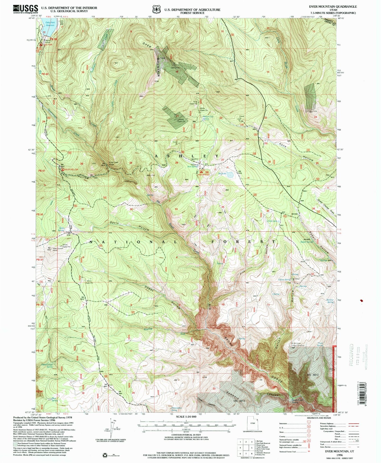
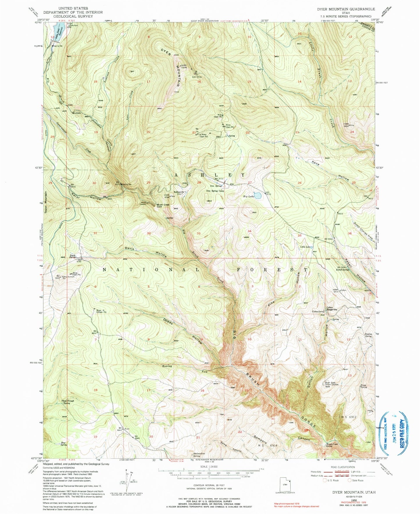
Classic USGS Dyer Mountain Utah 7.5'x7.5' Topo Map
Couldn't load pickup availability
Historical USGS topographic quad map of Dyer Mountain in the state of Utah. Typical map scale is 1:24,000, but may vary for certain years, if available. Print size: 24" x 27"
This quadrangle is in the following counties: Daggett, Uintah.
The map contains contour lines, roads, rivers, towns, and lakes. Printed on high-quality waterproof paper with UV fade-resistant inks, and shipped rolled.
Contains the following named places: Anderson Creek, Bear Spring, Big Lake, Brush Creek Canyon Overlook, Brush Creek Spring, Bullionville, Colton Hollow, Colton Ranger Station, Colton Spring, Davis Hollow, Davis Spring, Dodds Hollow, Dyer Mines, Dyer Mountain, Gompers Canyon, Government Creek, Henline Spring, Iron Spring, Iron Spring Camp, Kabell Spring, Kaler Hollow, Little Lake, Loco Creek, Pine Hollow, Roaring Fork, Shelmadine Spring, Three Trough Spring, Trout Spring, Oaks Park Dam, Brush Creek Bridge, Iron Springs Campground, Brush Creek Corral, Bullionville Spring, Dodds Hollow Spring, Gartell Spring, Gibson Spring, Grizzly Hollow, Kaler Hollow Campground, Mud Spring, Murray Park Spring, Oaks Park Campground, Paradise Spring, Parson City Spring, Point Spring, Roaring Fork Spring, Taylor Mountain Plateau, Twin Parks


