MyTopo
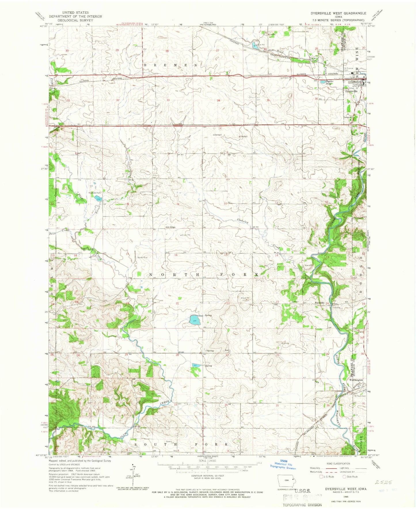
Classic USGS Dyersville West Iowa 7.5'x7.5' Topo Map
Couldn't load pickup availability
Historical USGS topographic quad map of Dyersville West in the state of Iowa. Map scale may vary for some years, but is generally around 1:24,000. Print size is approximately 24" x 27"
This quadrangle is in the following counties: Delaware, Dubuque.
The map contains contour lines, roads, rivers, towns, and lakes. Printed on high-quality waterproof paper with UV fade-resistant inks, and shipped rolled.
Contains the following named places: Bear Creek, Cooksley Creek, Durion Creek, Dyersville Area Airport, Dyersville Elementary School, Dyersville Family Practice Center, Gilt Edge, Giltedge Post Office, KDST-FM (Dyersville), Mercy Medical Center Dyersville, Northwind Mobile Home Park, Oakcrest Nursing Home, Penn Creek, Rockville, Rockville Cemetery, Rockville Post Office, Saint Francis Cemetery, Saint Francis Xavier Roman Catholic Basilica, Saint Francis Xavier School, Saint Paul Cemetery, Silver Creek, Tegeler Pond, Township of North Fork, Vanduesen Cemetery