
MyTopo
Classic USGS Dyke Georgia 7.5'x7.5' Topo Map
Couldn't load pickup availability
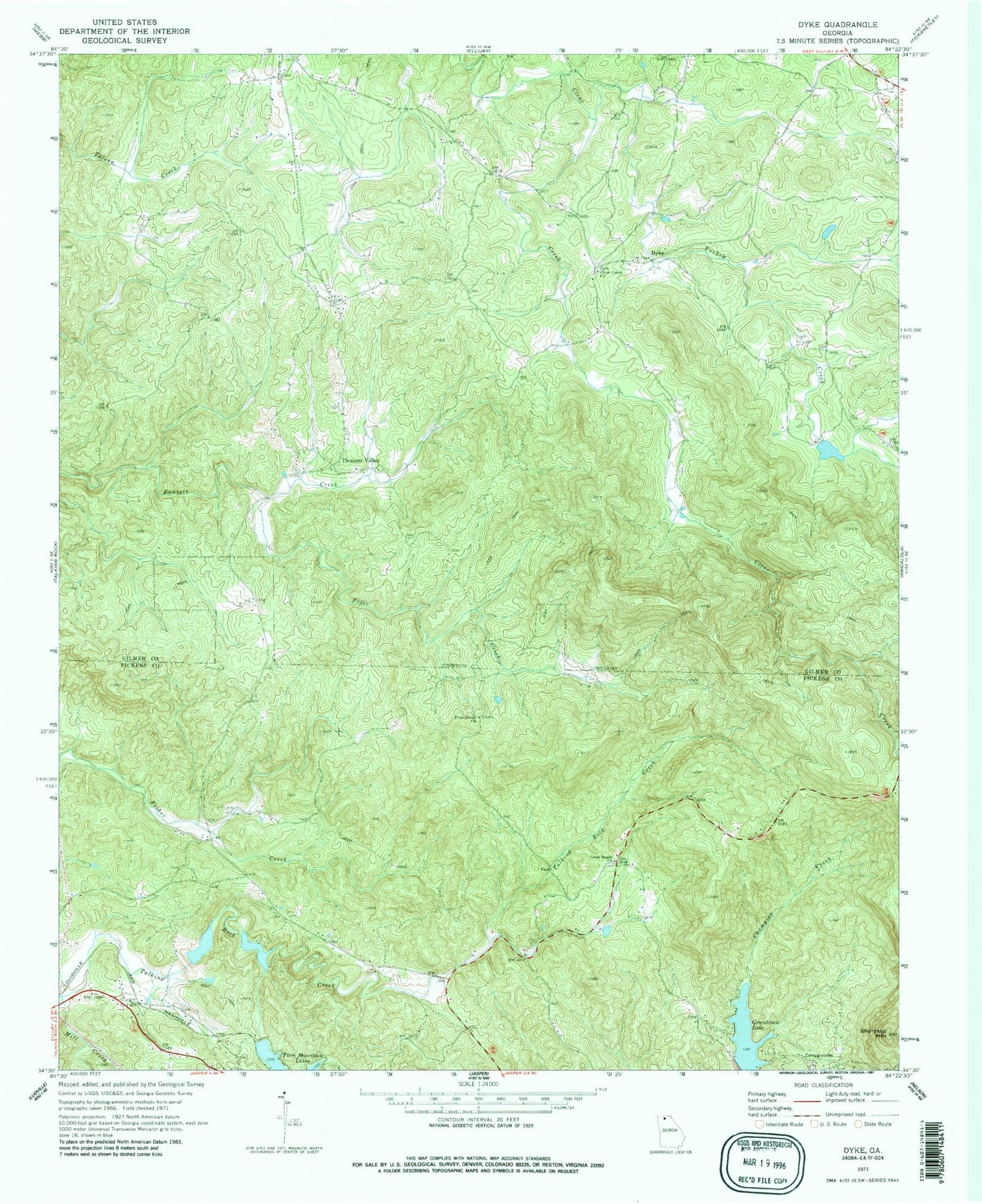
Historical USGS topographic quad map of Dyke in the state of Georgia. Map scale may vary for some years, but is generally around 1:24,000. Print size is approximately 24" x 27"
This quadrangle is in the following counties: Gilmer, Pickens.
The map contains contour lines, roads, rivers, towns, and lakes. Printed on high-quality waterproof paper with UV fade-resistant inks, and shipped rolled.
Contains the following named places: Burnt Mountain Baptist Assembly, Clear Creek Baptist Church Cemetery, Clear Creek Church, Clear Creek Middle School, Cross Roads Church, Diamond Lure Lake, Diamond Lure Lake Dam, Dyke, Ellison-Stifel Lake, Ellison-Stifel Lake Dam, Grandview Lake, Grandview Lake Dam, Hobson Creek, Jones Lake, Jones Lake Dam, Mill Creek, Montag Lake, Montag Lake Dam, Nalls Lake, Nalls Lake Dam, Pickens County Fire and Rescue Department Station 5 - 1, Pleasant Valley, Pleasant Valley Baptist Church, Pleasant Valley Baptist Church Cemetery, Price Creek, Price Creek Church, Sharptop Mountain, South Gilmer Division, Talking Rock Watershed Dam Number 10, Talking Rock Watershed Dam Number 13, Teague Lake, Town of Talking Rock, Turkey Creek, Twin Mountain Lakes, Upper Twin Mountain Lake, Upper Twin Mountain Lake Dam, Yukon Cemetery


