MyTopo
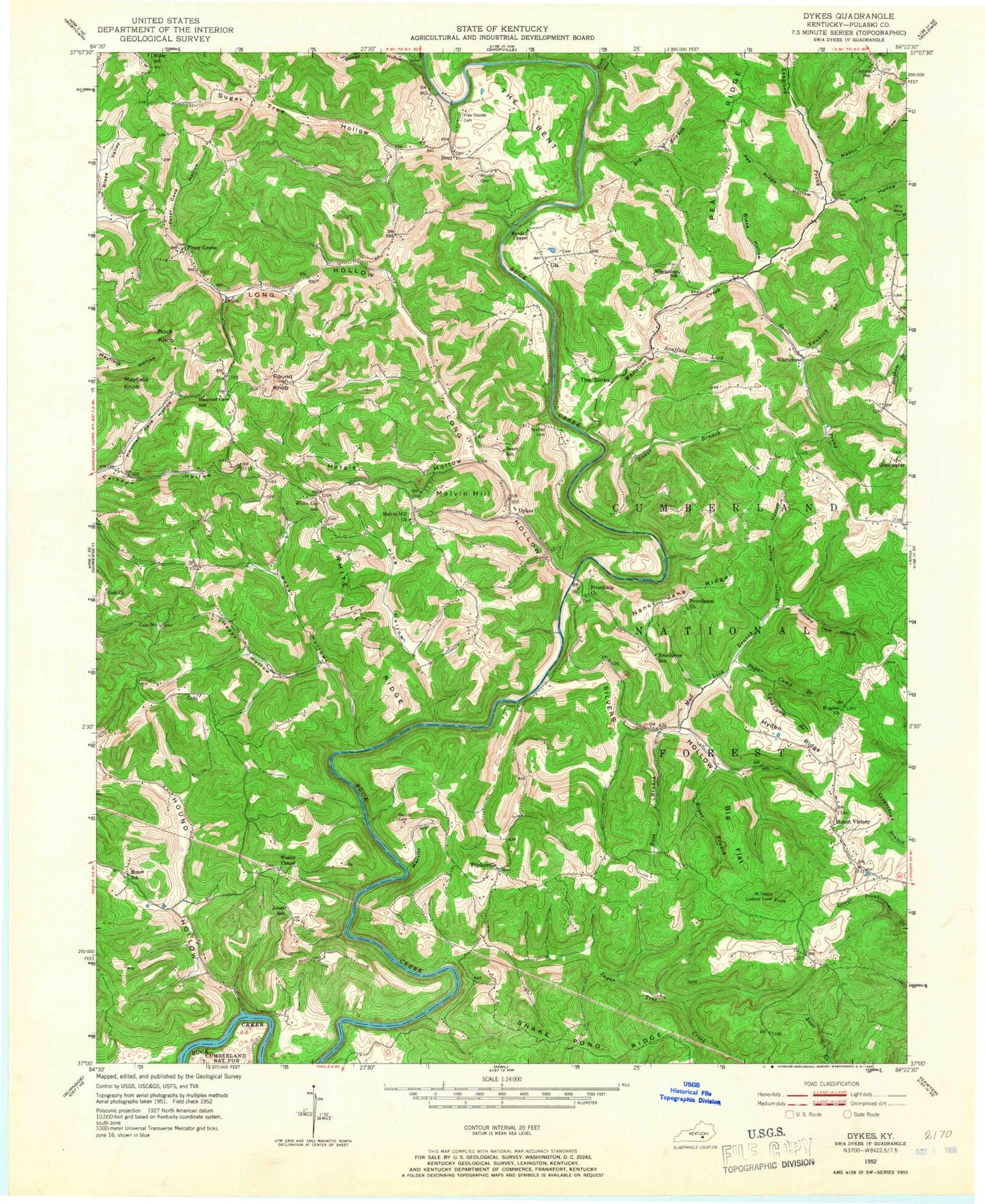
Classic USGS Dykes Kentucky 7.5'x7.5' Topo Map
Couldn't load pickup availability
Historical USGS topographic quad map of Dykes in the state of Kentucky. Map scale may vary for some years, but is generally around 1:24,000. Print size is approximately 24" x 27"
This quadrangle is in the following counties: Pulaski.
The map contains contour lines, roads, rivers, towns, and lakes. Printed on high-quality waterproof paper with UV fade-resistant inks, and shipped rolled.
Contains the following named places: Acorn School, Baker Branch, Baker Hollow, Bent, Big Branch, Big Flat, Blaze Hollow, Bradley Cemetery, Bridge Hollow, Buck Creek Church, Buzzard Cave Hollow, Colo, Colo Church, Colo School, Dark Hollow, Drum, Dykes, Dykes Volunteer Fire Department, Friendship Church, Happy Hollow, Hargis Hollow, Haunted Cave Hollow, Haunted Cave School, Hound Hollow, Hughes Church, Hyden Ridge, Jones School, Langford Prong, Long Hollow, Lynn Camp Branch, Malvin Hill, Malvin Hill Church, Mason Hollow, May, Mayfield Knob, Meece School, Merritt Cemetery, Merritt Hollow, Miller School, Mount Victory, Mount Victory Division, Mount Victory Fire Department, Mount Victory Lookout Tower, Mud Lick Branch, Nancy Jane Ridge, New Hope Church, Pea Ridge Hollow, Peter Cave Hollow, Pine Thicket Cemetery, Piney Grove, Ping Hollow, Poplarville, Providence Church, Providence School, Randall Chapel, Rock Knob, Roper Branch, Roper Cemetery, Ross Branch, Round Knob, Scaffold Lick, Sears School, Silvers Hollow, Snake Pond Ridge, Snell Prong, Storm Roark Hollow, Sugar Camp Branch, Sugar Tree Creek, Sugar Tree Hollow, The Bent, The Sinks, Ula, Vanhook Branch, Vine Hollow, Wesley Chapel, Whetstone, Whetstone Creek, Whetstone School, White Lily Church Cemetery, White Lily Fire Department, White Lily Ridge, White Lily School, Woodall Cemetery, ZIP Code: 42501


