MyTopo
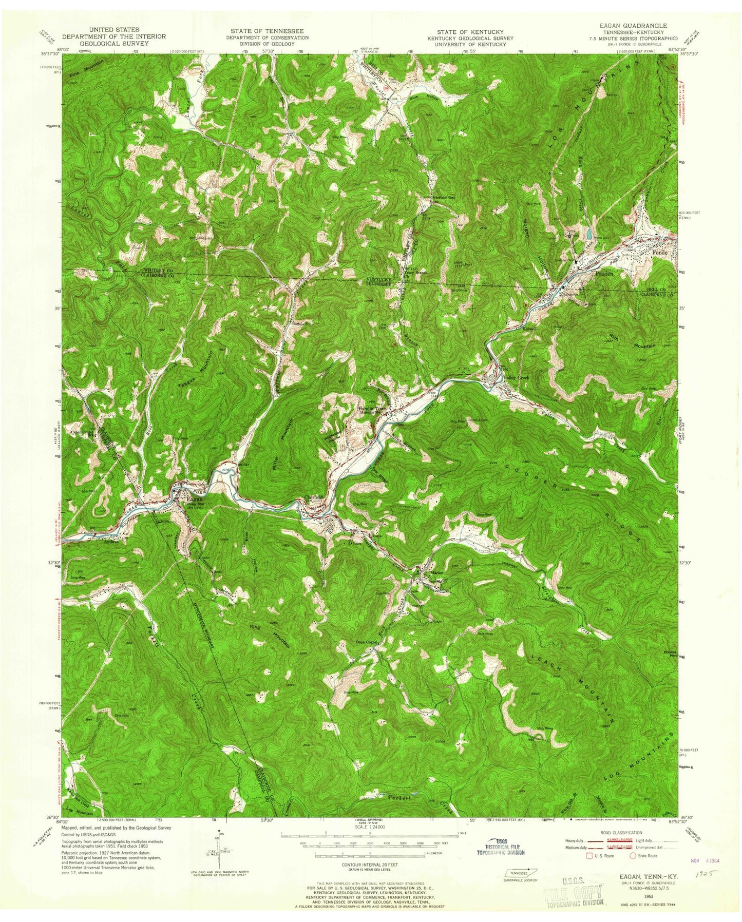
Classic USGS Eagan Tennessee 7.5'x7.5' Topo Map
Couldn't load pickup availability
Historical USGS topographic quad map of Eagan in the states of Tennessee, Kentucky. Map scale may vary for some years, but is generally around 1:24,000. Print size is approximately 24" x 27"
This quadrangle is in the following counties: Bell, Campbell, Claiborne, Whitley.
The map contains contour lines, roads, rivers, towns, and lakes. Printed on high-quality waterproof paper with UV fade-resistant inks, and shipped rolled.
Contains the following named places: Anthras, Anthras Baptist Church, Apple Grove Church, Archer Center School, Arnold Number Two Mine, Back Creek, Bear Creek, Bens Branch, Big Three Hollow, Blue Hollow, Boneyard Hollow, Bostica Cemetery, Buck Hole Hollow, Buffalo Creek, Buffalo School, Clairfield, Clairfield Elementary School, Clairfield Missionary Baptist Church, Clairfield Post Office, Clear Fork Volunteer Fire Department, Commissioner District 9, Cooper Ridge, Days Chapel, Eagan, Eagan Baptist Church, Eagan Post Office, Eagan School, Fonde, Fox Branch, Hamlin Town, Hatfield Gap, Huddleson Branch, Hurricane Branch, Johnson Hollow, Kidwell, King Cemetery, King Hollow, King Mountain, Kings Branch, Leach Mountain, Little Tackett Creek, Marion, Miller Mountain, Morgan Hollow, Nolan Branch, Partin Cemetery, Patterson Hollow, Pearl Division, Pruden, Pruden Number Six Mile, Pruden Post Office, Pruden School, Rock Creek, Rogerston Hollow, Rose Creek, Sowder Creek, Spar Branch, Straight Creek, Tackett Creek School, Teague Mountain, Tracy Branch, Tracy Branch Baptist Church, Upper Eagan Mine, Valley Creek, Valley Creek Missionary Baptist Church, Valley Creek School, ZIP Codes: 37715, 37730, 37851, 40940


