MyTopo
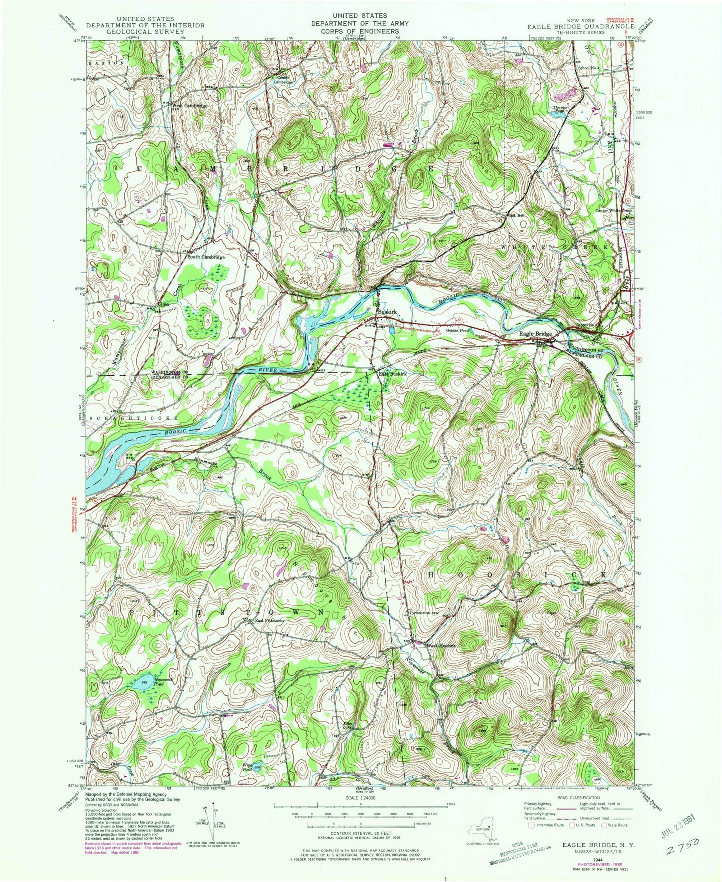
Classic USGS Eagle Bridge New York 7.5'x7.5' Topo Map
Couldn't load pickup availability
Historical USGS topographic quad map of Eagle Bridge in the state of New York. Map scale may vary for some years, but is generally around 1:24,000. Print size is approximately 24" x 27"
This quadrangle is in the following counties: Rensselaer, Washington.
The map contains contour lines, roads, rivers, towns, and lakes. Printed on high-quality waterproof paper with UV fade-resistant inks, and shipped rolled.
Contains the following named places: Buskirk, Buskirk Reformed Church, Buskirk Volunteer Fire Department, Buskirks Covered Bridge, Case Brook, Center Cambridge, Center White Creek, Diamondwood Estates, Eagle Bridge, Eagle Bridge Post Office, East Buskirk, East Pittstown, Echo Lake, Golden Pond, Lee, Moseleys Airport, Newcomb Pond, Nipmoose Brook, Nipmoose Hill, Oak Hill, Owl Kill, Passing Fancy Farm, Pencil Brook, School Number 3, School Number 4, South Cambridge, Stannard Farm, Thurber Pond, West Cambridge, West Hoosick, West Hoosick Baptist Church, West Hoosick Rural Cemetery, Whipple Brook, Whiteside Church, Wing Pond, WNGN-FM (Hoosick Falls), ZIP Codes: 12028, 12094