MyTopo
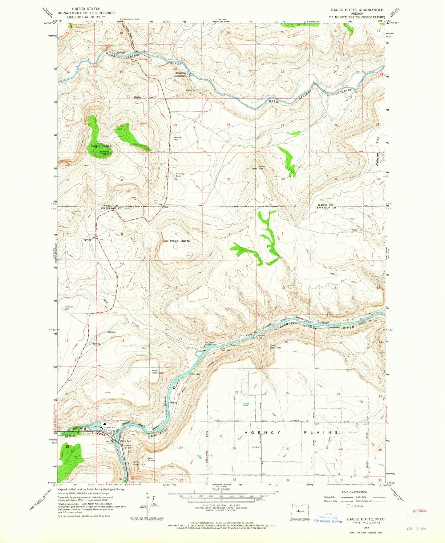
Classic USGS Eagle Butte Oregon 7.5'x7.5' Topo Map
Couldn't load pickup availability
Historical USGS topographic quad map of Eagle Butte in the state of Oregon. Map scale may vary for some years, but is generally around 1:24,000. Print size is approximately 24" x 27"
This quadrangle is in the following counties: Jefferson, Wasco.
The map contains contour lines, roads, rivers, towns, and lakes. Printed on high-quality waterproof paper with UV fade-resistant inks, and shipped rolled.
Contains the following named places: Dry Creek, Dry Creek Cemetery, Dry Creek Horse Camp, Eagle Butte, Hot Springs Cemetery, Indian Head Canyon, Kahneeta Hot Spring, Kah-Nee-Ta Resort, McKinley Corral, Mecca, Mecca Flat Boat Ramp, Mecca Grade, Mecca Post Office, Shitike Creek, Tee Wees Butte, Warm Springs Boat Ramp, Warm Springs Forest Products 1 - 3 Biomass Facility, Warm Springs National Fish Hatchery, Warm Springs State Recreation Site