MyTopo
Classic USGS Eagle Gorge Washington 7.5'x7.5' Topo Map
Regular price
$16.95
Regular price
Sale price
$16.95
Unit price
per
Couldn't load pickup availability
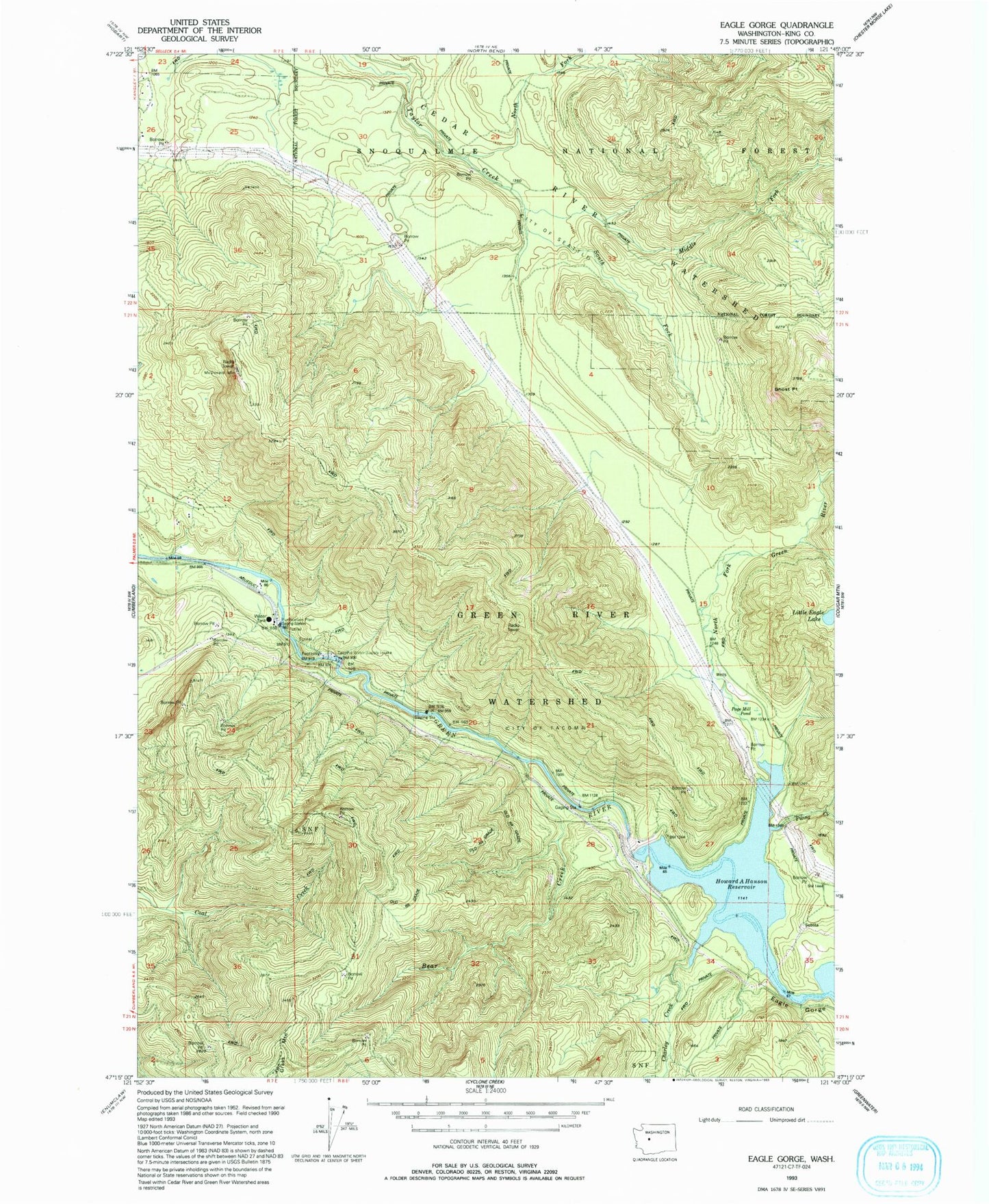
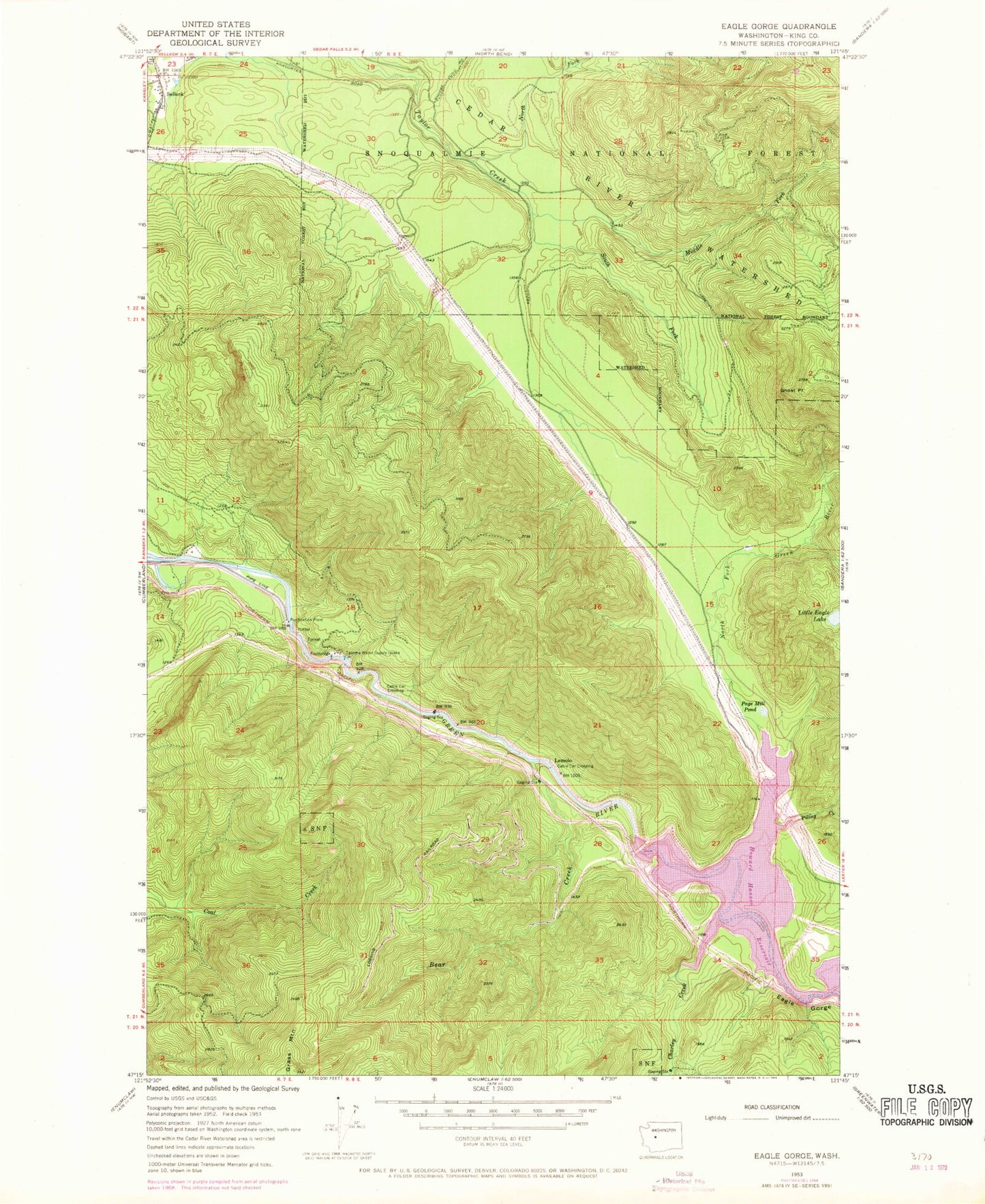
Historical USGS topographic quad map of Eagle Gorge in the state of Washington. Map scale may vary for some years, but is generally around 1:24,000. Print size is approximately 24" x 27"
This quadrangle is in the following counties: King.
The map contains contour lines, roads, rivers, towns, and lakes. Printed on high-quality waterproof paper with UV fade-resistant inks, and shipped rolled.
Contains the following named places: Bear Creek, Eagle Gorge, Ghost Point, Green River Watershed, Howard A Hanson Dam, Lemolo, Little Eagle Lake, Middle Fork Taylor Creek, North Fork Green River, North Fork Taylor Creek, Page, Page Mill Pond, Piling Creek, South Fork Taylor Creek, Tacoma Water Supply Intake