
MyTopo
Classic USGS Eagle Lake Maine 7.5'x7.5' Topo Map
Couldn't load pickup availability
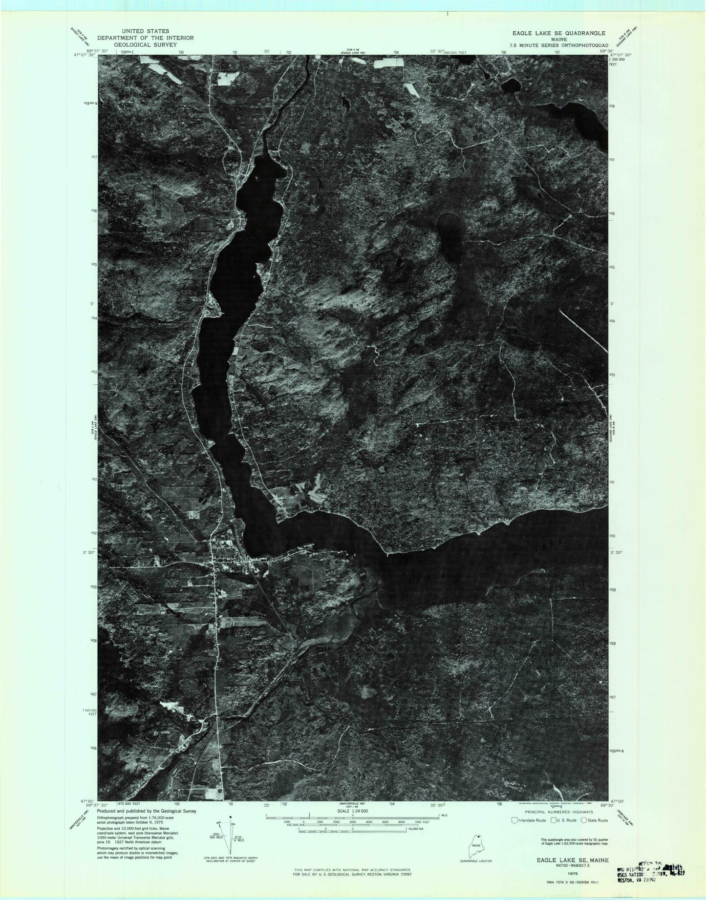
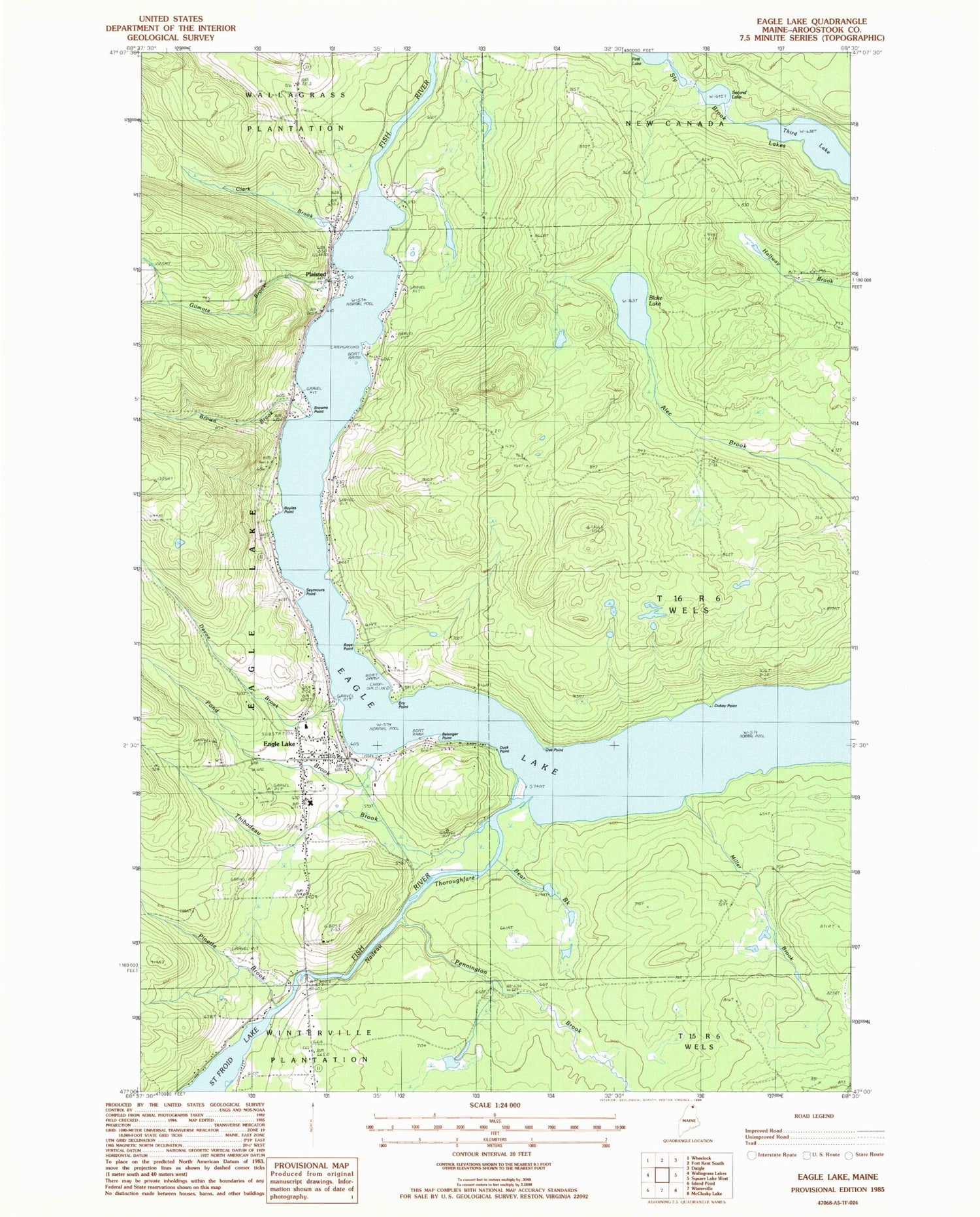
Historical USGS topographic quad map of Eagle Lake in the state of Maine. Map scale may vary for some years, but is generally around 1:24,000. Print size is approximately 24" x 27"
This quadrangle is in the following counties: Aroostook.
The map contains contour lines, roads, rivers, towns, and lakes. Printed on high-quality waterproof paper with UV fade-resistant inks, and shipped rolled.
Contains the following named places: Bear Brook, Belanger Point, Blake Lake, Boyles Point, Brown Brook, Browns Point, Camp Cozy, Carnes Camp, Clark Brook, Clover Hill Campground, Devoe Brook, Dry Point, Dubay Point, Duck Point, Eagle Lake, Eagle Lake Census Designated Place, Eagle Lake Elementary Junior High School, Eagle Lake Fire Department, Eagle Lake Post Office, Gilmore Brook, Lake View School, Longfellow Cemetery, Longfellow School, Miller Brook, Nadeau Thoroughfare, Oak Point, Pennington Brook, Pinette Brook, Plaisted, Plaisted Post Office, Pond Brook, Roys Point, Saint Elizabeth School, Saint Marys Cemetery, Saint Marys Church, Saint Marys Rectory, Saucier Camp, Second Lake, Seymours Point, Sly Brook Lakes, Smith School, Stetson School, T16 R6 WELS, Thibadeau Brook, Third Lake, Wallagrass Station, Wiles Camp