MyTopo
Classic USGS Eagle Lake New York 7.5'x7.5' Topo Map
Couldn't load pickup availability
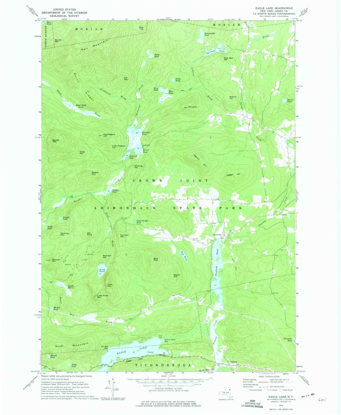
Historical USGS topographic quad map of Eagle Lake in the state of New York. Typical map scale is 1:24,000, but may vary for certain years, if available. Print size: 24" x 27"
This quadrangle is in the following counties: Essex.
The map contains contour lines, roads, rivers, towns, and lakes. Printed on high-quality waterproof paper with UV fade-resistant inks, and shipped rolled.
Contains the following named places: Arnold Pond, Bald Pate, Beech Hill, Bennett Hill, Big Pidgeon Hill, Black Brook Ponds, Bloody Mountain, Blue Hill, Breakneck Brook, Burnt Ridges, Burris Pond, Butternut Brook, Cat Mountain, Cedar Bridge Pond, Chilson, Crown Point Bay, Cubtown Brook, Dudley Mountain, Dudley Pond, Eagle Cliff, Eagle Lake, Fleming Mountain, Furnace Mountain, Goosepuddle Pond, Hail Mountain, Hebron Hill, Hogan Hill, Huse Pond, Ingalls Marsh, Ironville, Knob Brook, Knob Mountain, Knob Pond, Kumph Pond, Mount Lewis, Little Knob Mountain, Little Pidgeon Hill, Martin Pond, Moose Mountain, Mud Pond, Mud Pond, Ore Bed Bay, Overshot Pond, Penfield Pond, Railroad Hill, Round Pond, Sawmill Pond, Sherman Lake, Shop Hill, Skiff Mountain, Snake Pond, Snake Pond, Snake Pond, Spar Bed Hill, Trout Pond, Turtle Island, Walnut Hill, Winding Hill, Hill Number 8, Town of Crown Point, Penfield Homestead Museum


