MyTopo
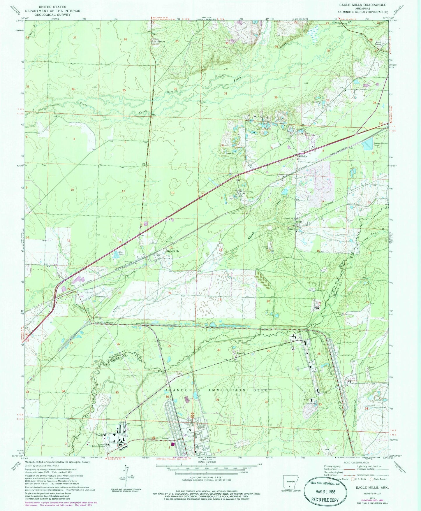
Classic USGS Eagle Mills Arkansas 7.5'x7.5' Topo Map
Couldn't load pickup availability
Historical USGS topographic quad map of Eagle Mills in the state of Arkansas. Map scale may vary for some years, but is generally around 1:24,000. Print size is approximately 24" x 27"
This quadrangle is in the following counties: Calhoun, Ouachita.
The map contains contour lines, roads, rivers, towns, and lakes. Printed on high-quality waterproof paper with UV fade-resistant inks, and shipped rolled.
Contains the following named places: Brushy Creek, Eagle Mills, Evans Cemetery, Highland Industrial Park, Lilley, Little Two Bayou, Mill Creek, Millville, Onalaska, Ouachita County Ambulance Highland Basic Life Support, Salem, Shumaker, Shumaker Naval Ammunition Depot, Southern Arkansas University Tech Police Department, Southwest Technical Institute, State Fire Academy, State Police Academy, Steamboat Creek, Township of Cleveland, ZIP Code: 71711