MyTopo
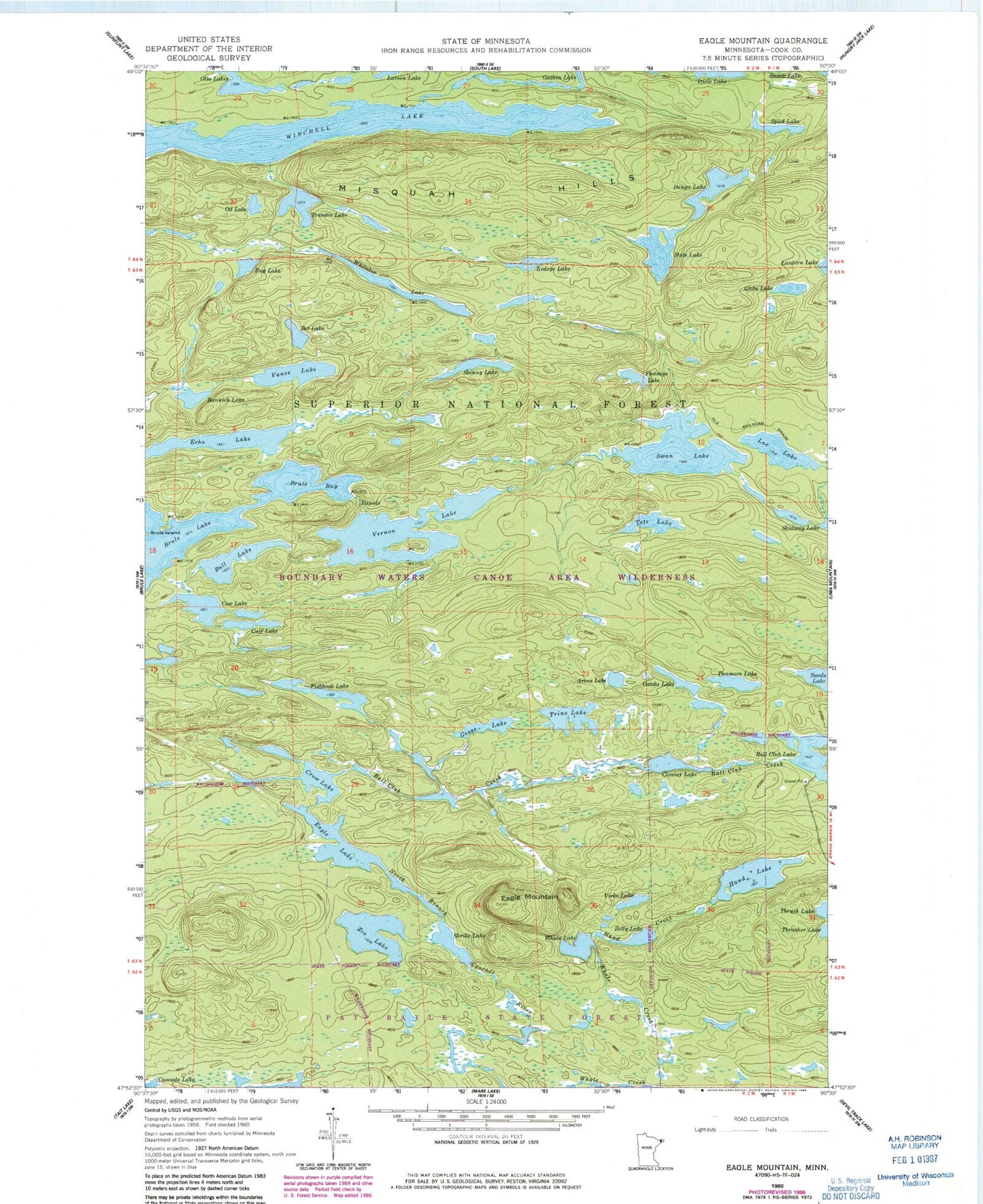
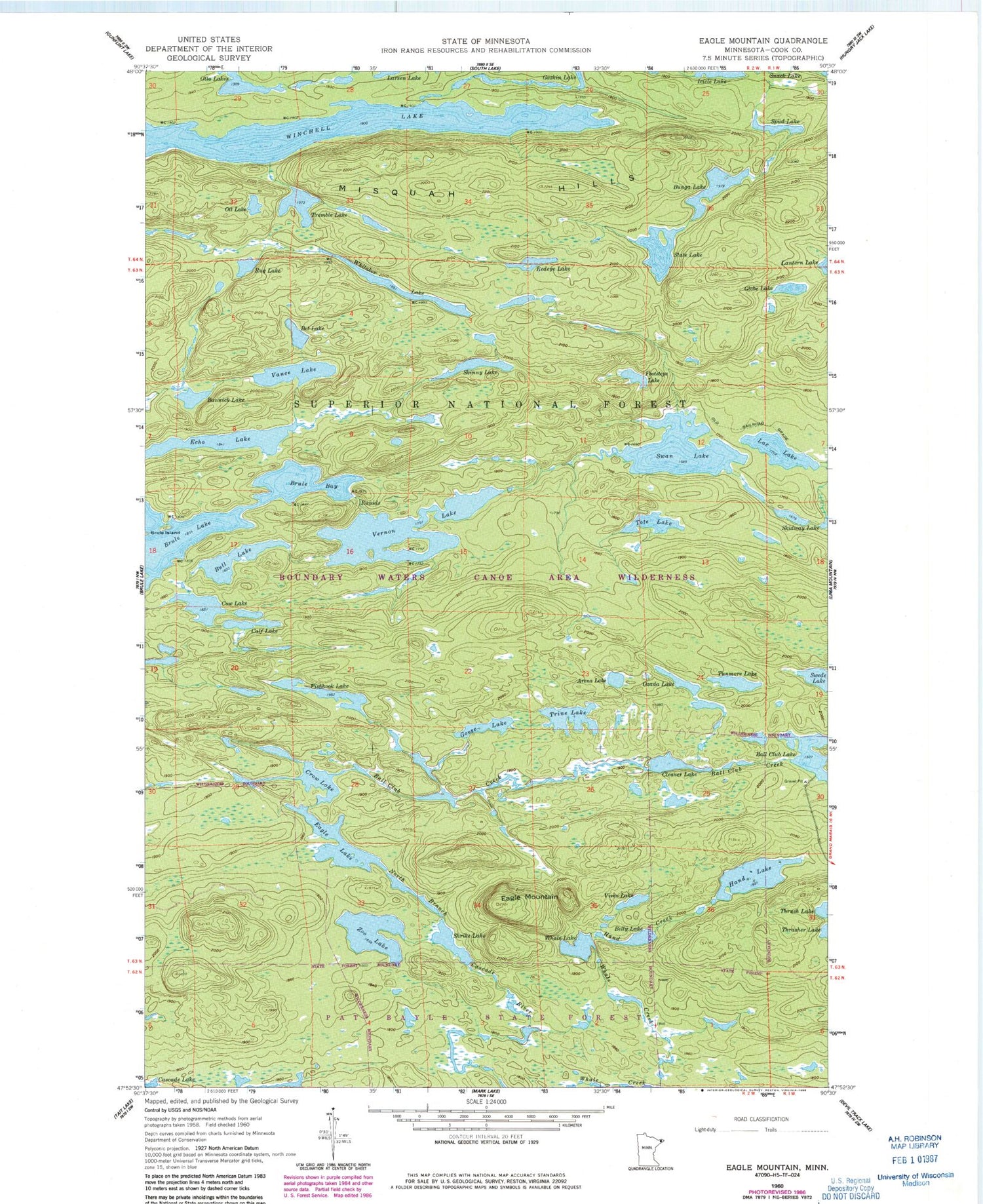
Classic USGS Eagle Mountain Minnesota 7.5'x7.5' Topo Map
Couldn't load pickup availability
Historical USGS topographic quad map of Eagle Mountain in the state of Minnesota. Typical map scale is 1:24,000, but may vary for certain years, if available. Print size: 24" x 27"
This quadrangle is in the following counties: Cook.
The map contains contour lines, roads, rivers, towns, and lakes. Printed on high-quality waterproof paper with UV fade-resistant inks, and shipped rolled.
Contains the following named places: Arena Lake, Ball Club Creek, Bannick Lake, Belly Lake, Bet Lake, Brule Bay, Bull Lake, Bunga Lake, Calf Lake, Cleaver Lake, Cow Lake, Crow Lake, Eagle Lake, Eagle Mountain, Echo Lake, Fishhook Lake, Footsteps Lake, Globe Lake, Goose Lake, Hand Creek, Hand Lake, Icicle Lake, Lac Lake, Ott Lake, Ozada Lake, Redeye Lake, Rug Lake, Shrike Lake, Skinny Lake, Spud Lake, State Lake, Swan Lake, Swede Lake, Tote Lake, Tremble Lake, Trine Lake, Tunmore Lake, Vance Lake, Vernon Lake, Vireo Lake, Whale Lake, Whitaker Lake, Winchell Lake, Zoo Lake


