MyTopo
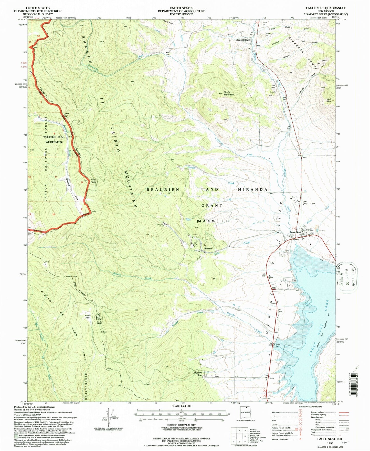
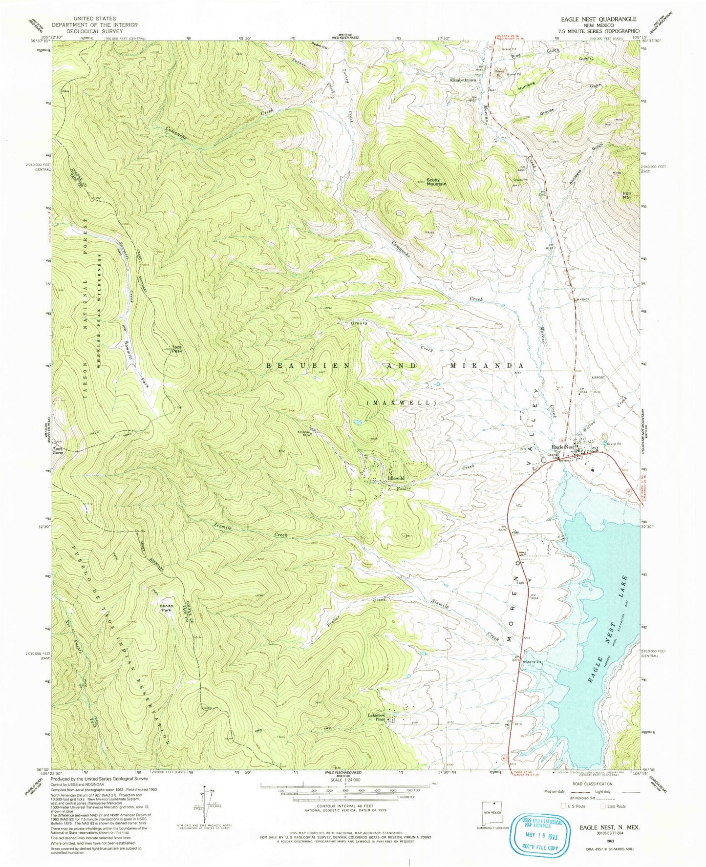
Classic USGS Eagle Nest New Mexico 7.5'x7.5' Topo Map
Couldn't load pickup availability
Historical USGS topographic quad map of Eagle Nest in the state of New Mexico. Typical map scale is 1:24,000, but may vary for certain years, if available. Print size: 24" x 27"
This quadrangle is in the following counties: Colfax, Taos.
The map contains contour lines, roads, rivers, towns, and lakes. Printed on high-quality waterproof paper with UV fade-resistant inks, and shipped rolled.
Contains the following named places: Mutz, Val Verde Ski Area, Moreno Valley Church of Christ, The Idewild Community Church, The First Baptist Church of Moreno Valley, Truth Ministries Church, Saint Mels Catholic Church, Pine Gulch, Anniseta Gulch, Bonito Park, Cieneguilla Creek, Comanche Creek, Eagle Nest, Frolic Creek, Graney Creek, Grouse Gulch, Humbug Gulch, Idlewild, Iron Mountain, Klondike Mine, Lakeview Pines, Moreno Creek, Moreno Valley, Pedro Canyon, Probar Creek, Sawmill Park, Scully Mountain, Taos Peak, Turkey Creek, Turner Creek, Willow Creek, Eagle Nest Landing Strip (historical), El Renz-O-Ranch, Mutz, Sixmile Creek, Pay Ore, Dorn, Sheridan, Klondyke, Lucia, Abraham Lincoln, Iron Mountain Prospect, Justice, Galena, Gertrude, Tomboy, Empire, Denver, Denver-Climax, Red Bandana Group, Oro Dredging Company Claims, Moreno Centennial, Confidence, Blue Bandana Reservation, Eagle Nest Lake, Gorman, Elizabethtown, Eagle Nest Public Library, D A V Vietnam Veterans National Memorial Historical Marker, Elizabethtown Historical Marker, Eagle Nest Weather Station, Elizabethtown Weather Station, Eagle Nest Elementary, Elizabethtown Post Office (historical), Eagle Nest Post Office, Pack Rat Mine, Gold Plume Mine, Imperial Number Two Mine, Log Cabin Number Two Mine, Convention Anex Number One Mine, Black Cat Mine, Black Hat Mine, Village of Eagle Nest, Idlewild Census Designated Place, Eagle Nest Fire Department, Eagle Nest Ambulance Service


