MyTopo
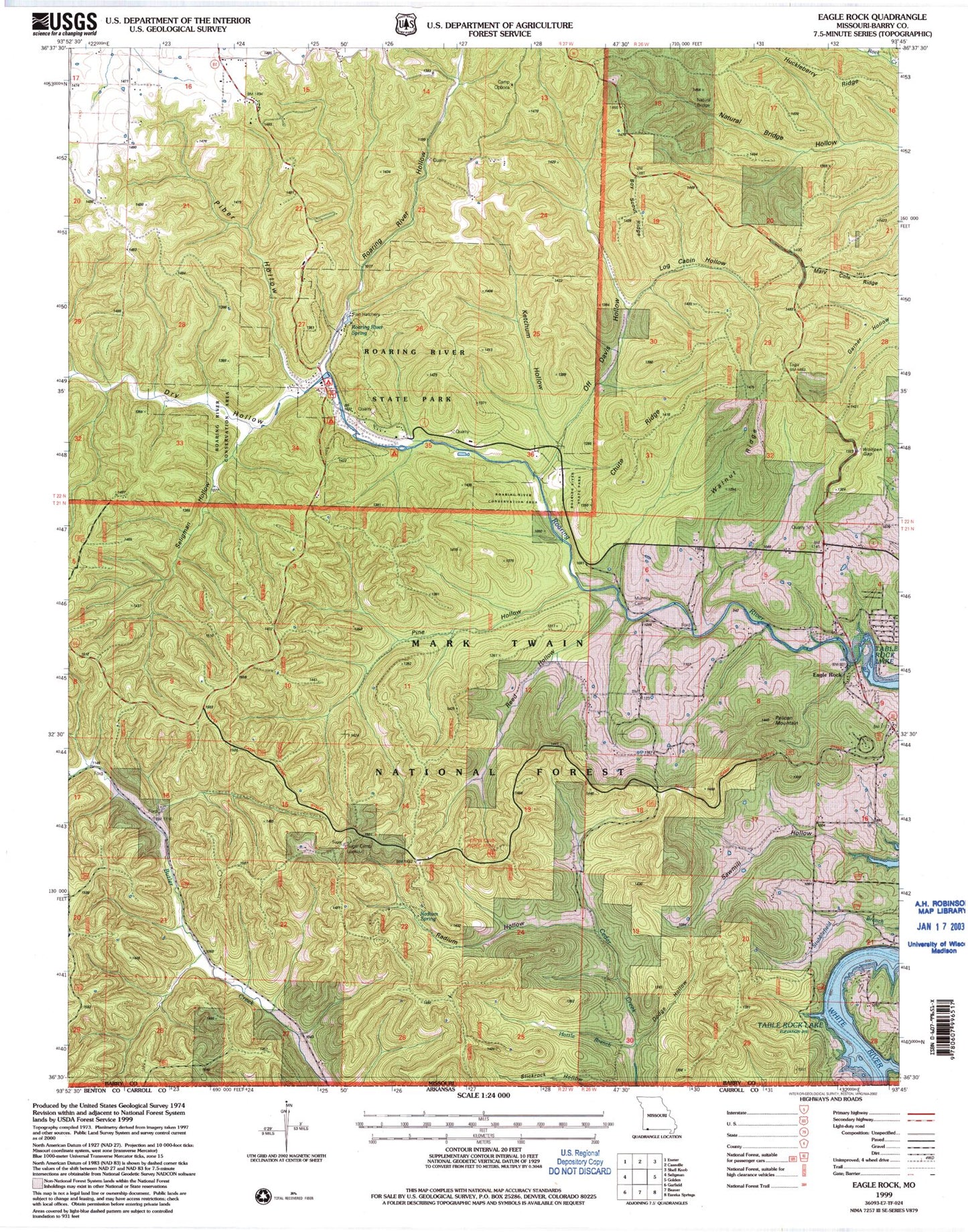
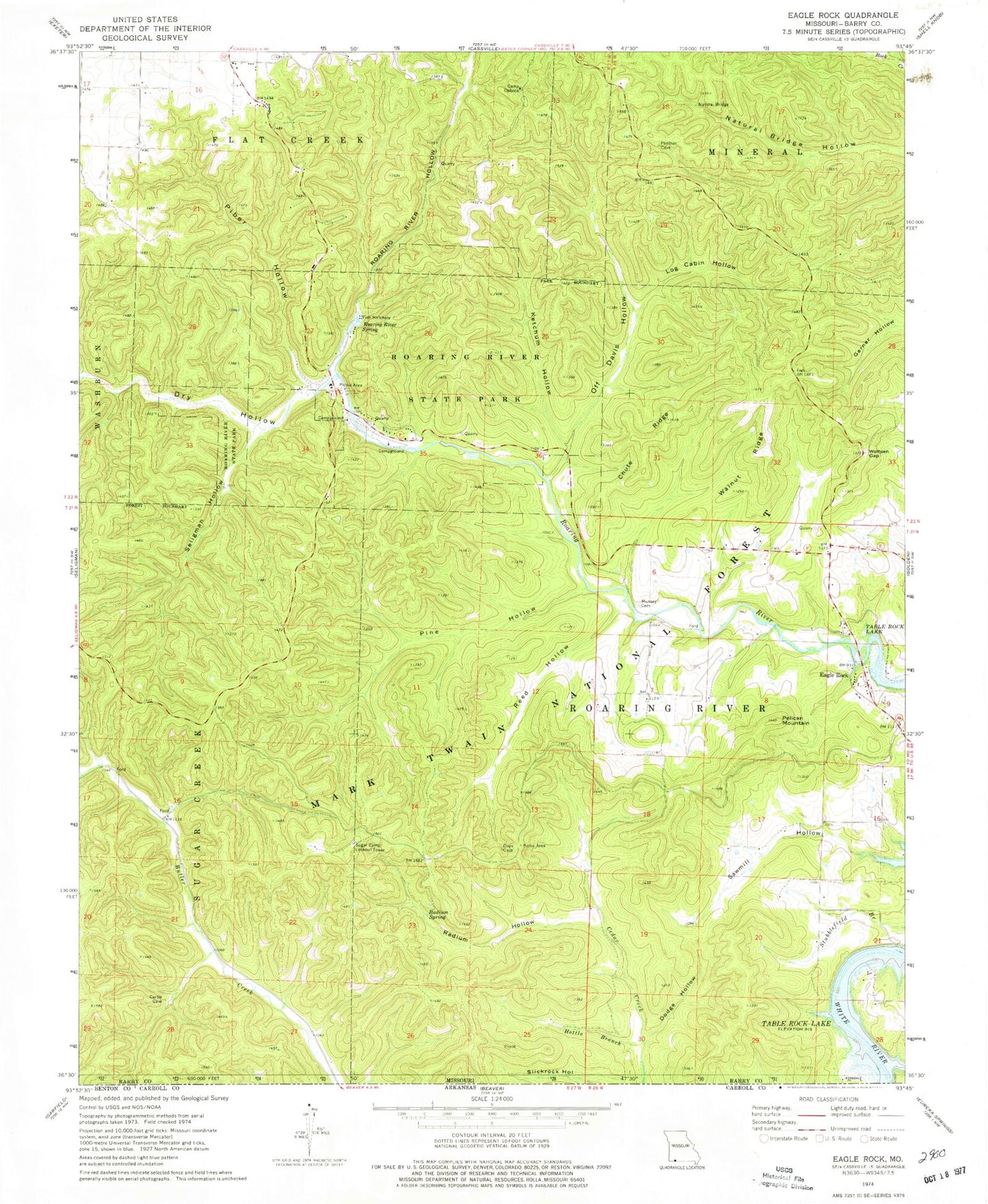
Classic USGS Eagle Rock Missouri 7.5'x7.5' Topo Map
Couldn't load pickup availability
Historical USGS topographic quad map of Eagle Rock in the state of Missouri. Typical map scale is 1:24,000, but may vary for certain years, if available. Print size: 24" x 27"
This quadrangle is in the following counties: Barry.
The map contains contour lines, roads, rivers, towns, and lakes. Printed on high-quality waterproof paper with UV fade-resistant inks, and shipped rolled.
Contains the following named places: Camp Opboca, Chute Ridge, Dry Hollow, Eagle Rock, Haddock Creek, Hottle Branch, Ketchum Hollow, Log Cabin Hollow, Munsey Cemetery, Cassville Natural Bridge, Off Davis Hollow, Pelican Mountain, Piber Hollow, Pine Hollow, Radium Hollow, Radium Spring, Reed Hollow, Roaring River Hollow, Roaring River Spring, Roaring River State Park, Sawmill Hollow, Seligman Hollow, Walnut Ridge, Wolfpen Gap, Mount Zion School (historical), Munsey School (historical), CCC Camp, Roaring River School (historical), Onyx Cave Picnic Area, Sugar Camp Lookout Tower, Talbert Fire Tower (historical), Township of Roaring River, Butler School (historical), Accident School (historical), Eagle Rock Post Office, Boy Scout Ridge, Mary Cole Ridge, Dodge Hollow, Huckleberry Ridge


