MyTopo
Classic USGS Eagle Rock Nevada 7.5'x7.5' Topo Map
Regular price
$16.95
Regular price
Sale price
$16.95
Unit price
per
Couldn't load pickup availability
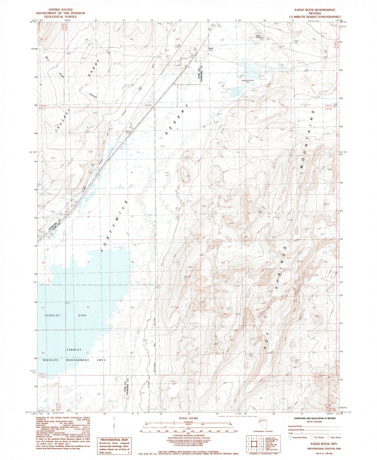
Historical USGS topographic quad map of Eagle Rock in the state of Nevada. Map scale may vary for some years, but is generally around 1:24,000. Print size is approximately 24" x 27"
This quadrangle is in the following counties: Churchill, Lyon.
The map contains contour lines, roads, rivers, towns, and lakes. Printed on high-quality waterproof paper with UV fade-resistant inks, and shipped rolled.
Contains the following named places: Bell Telephone Relay Station, Eagle Rock, Eagle Salt Works, Eagle Salt Works Spring, Fernley Wildlife Management Area, Leete, Leete Mining District, Leete Post Office, Leete Station, Miry Place Canyon, Muriel