MyTopo
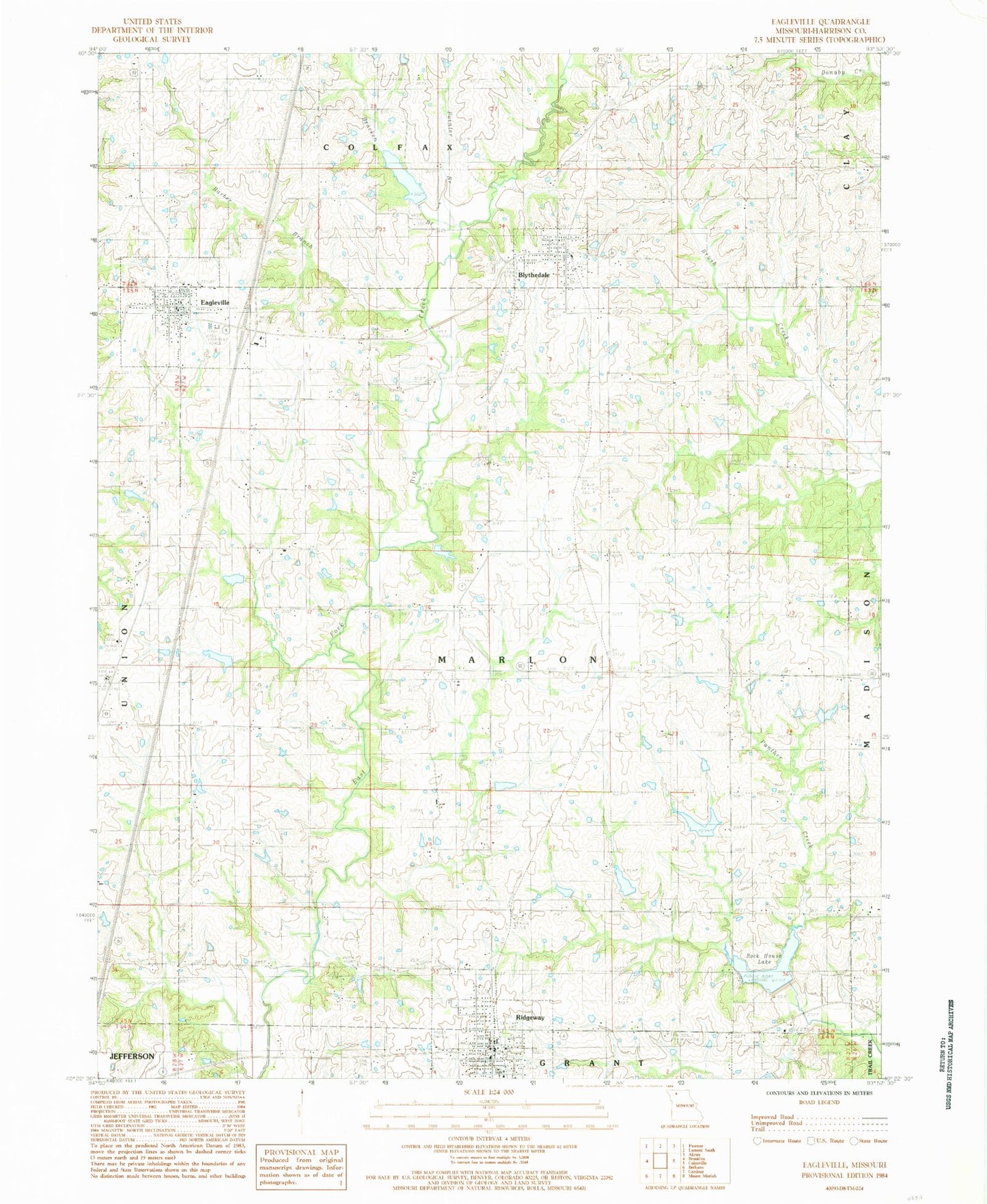
Classic USGS Eagleville Missouri 7.5'x7.5' Topo Map
Couldn't load pickup availability
Historical USGS topographic quad map of Eagleville in the state of Missouri. Map scale may vary for some years, but is generally around 1:24,000. Print size is approximately 24" x 27"
This quadrangle is in the following counties: Harrison.
The map contains contour lines, roads, rivers, towns, and lakes. Printed on high-quality waterproof paper with UV fade-resistant inks, and shipped rolled.
Contains the following named places: Ally Lake, Barber Branch, Baxter Lake Dam North, Baxter Lake Dam South, Blythedale, Blythedale Post Office, Bracken Branch, Buckley Chapel, City of Ridgeway, Craig/Allen Dam Lt-90, D Buis B-11 Dam, D Buis Lake, D Butin Lake, Eagleville, Eagleville Post Office, East Fork Big Creek Dam A-30, East Fork Big Creek Dam A-34, East Fork Big Creek Watershed A-4 Dam, East Fork Big Creek Watershed Dam A-31, East Fork Big Creek Watershed Dam A-33, East Fork Big Creek Watershed Dam A-40, East Fork Big Creek Watershed Lake A-4, Fitz Farms Lake, Fitz Farms Lake Dam, Gibson Lake, H Taylor E-12 Dam, H Taylor Lake, Harcomo/Johnson Dam Lt-80, Hendren Lake, Lilly Cemetery, Marion Lake, Marion Lake Dam, Meek Lake, Meeks Dam, Meinecke Lake, North Harrison County Fire Protection District, North Harrison Elementary School, North Harrison High School, Panther Creek Watershed Dam A-1, Panther Creek Watershed Dam B-10, Panther Creek Watershed Dam B-13, Panther Creek Watershed Dam C-2, Pleasant Valley School, Pointer Branch, Ridgeway, Ridgeway Cemetery, Ridgeway Elementary School, Ridgeway High School, Ridgeway Post Office, Ridgeway Rural Fire Department, Rock House Lake, Rose Hill Cemetery, Town of Eagleville, Township of Marion, Tripp Lake, Tuggle Lake Dam, Tuggles Dam, Village of Blythedale


