MyTopo
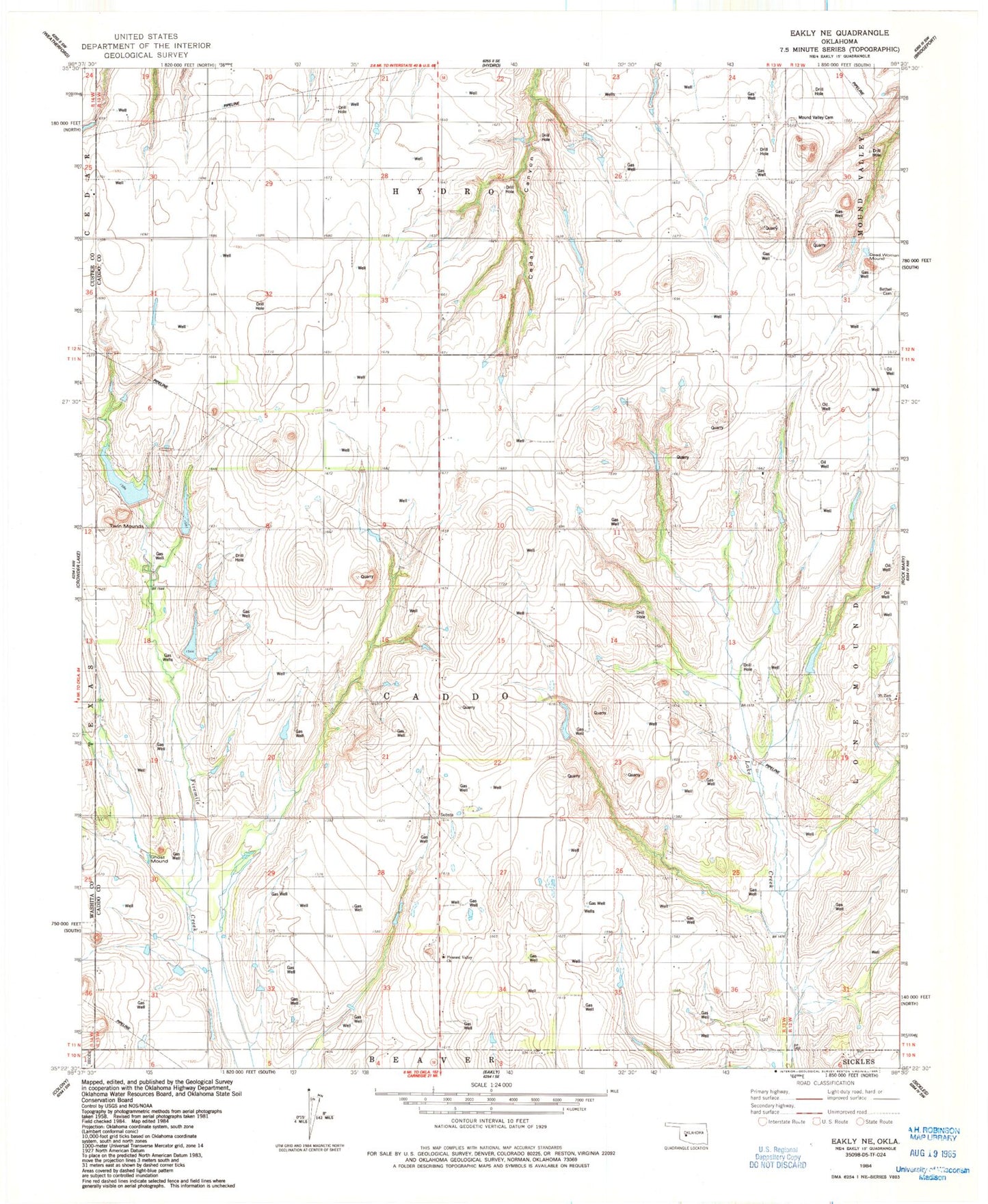
Classic USGS Eakly NE Oklahoma 7.5'x7.5' Topo Map
Couldn't load pickup availability
Historical USGS topographic quad map of Eakly NE in the state of Oklahoma. Map scale may vary for some years, but is generally around 1:24,000. Print size is approximately 24" x 27"
This quadrangle is in the following counties: Caddo, Custer, Washita.
The map contains contour lines, roads, rivers, towns, and lakes. Printed on high-quality waterproof paper with UV fade-resistant inks, and shipped rolled.
Contains the following named places: Bethel Cemetery, Bethel Church, Broken B Airport, Cartwright Reservoir, Cobb Creek Site 101 Dam, Cobb Creek Site 101 Reservoir, Cobb Creek Site 102 Dam, Cobb Creek Site 102 Reservoir, Cobb Creek Site 4 Dam, Cobb Creek Site 4 Reservoir, Cobb Creek Site 5 Dam, Cobb Creek Site 5 Reservoir, Cobb Creek Site 6 Dam, Cobb Creek Site 6 Reservoir, Dead Woman Mound, Fost School, Ghost Mound, Hydro Division, Mound Valley Cemetery, Mound Valley School, Mount Zion Church, Muncy Airport, Oknoname 015019 Dam, Oknoname 015019 Reservoir, Oknoname 015022 Dam, Oknoname 015022 Reservoir, Pleasant Valley Church, Township of Caddo, Twin Mounds, ZIP Code: 73048