MyTopo
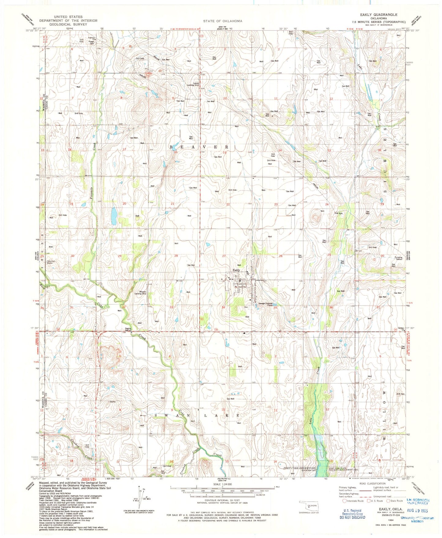
Classic USGS Eakly Oklahoma 7.5'x7.5' Topo Map
Couldn't load pickup availability
Historical USGS topographic quad map of Eakly in the state of Oklahoma. Map scale may vary for some years, but is generally around 1:24,000. Print size is approximately 24" x 27"
This quadrangle is in the following counties: Caddo, Washita.
The map contains contour lines, roads, rivers, towns, and lakes. Printed on high-quality waterproof paper with UV fade-resistant inks, and shipped rolled.
Contains the following named places: Buck Creek, Crooked Creek, Eakly, Eakly Cemetery, Eakly Elementary School, Eakly Fire Department, Eakly Police Department, Eakly Post Office, Fairview Church, Fivemile Creek, Lasley Private Airport, Oakdale Church, Poage Cemetery, Town of Eakly, Township of Beaver, Wheeler Landing Strip, ZIP Code: 73033