MyTopo
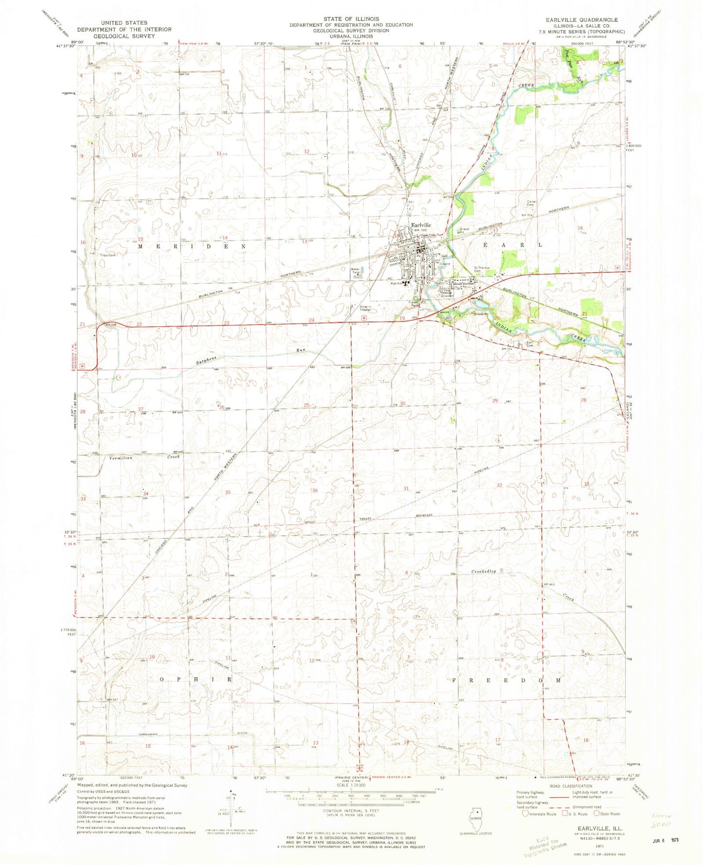
Classic USGS Earlville Illinois 7.5'x7.5' Topo Map
Couldn't load pickup availability
Historical USGS topographic quad map of Earlville in the state of Illinois. Map scale may vary for some years, but is generally around 1:24,000. Print size is approximately 24" x 27"
This quadrangle is in the following counties: LaSalle.
The map contains contour lines, roads, rivers, towns, and lakes. Printed on high-quality waterproof paper with UV fade-resistant inks, and shipped rolled.
Contains the following named places: Austin School, B & C Airport, Campbell School, Carter Cemetery, City of Earlville, Earlville, Earlville Airport, Earlville Fire District, Earlville High School, Earlville Police Department, Earlville Post Office, Paw Paw Run, Precinct Cemetery, Saint Theresa Cemetery, Sellers Airport, Smith School, Sutphens Run, Tomahawk Ditch, Township of Earl, Township of Meriden, Tripp Cemetery, Younglove/Otterbach Airport, ZIP Code: 60518