MyTopo
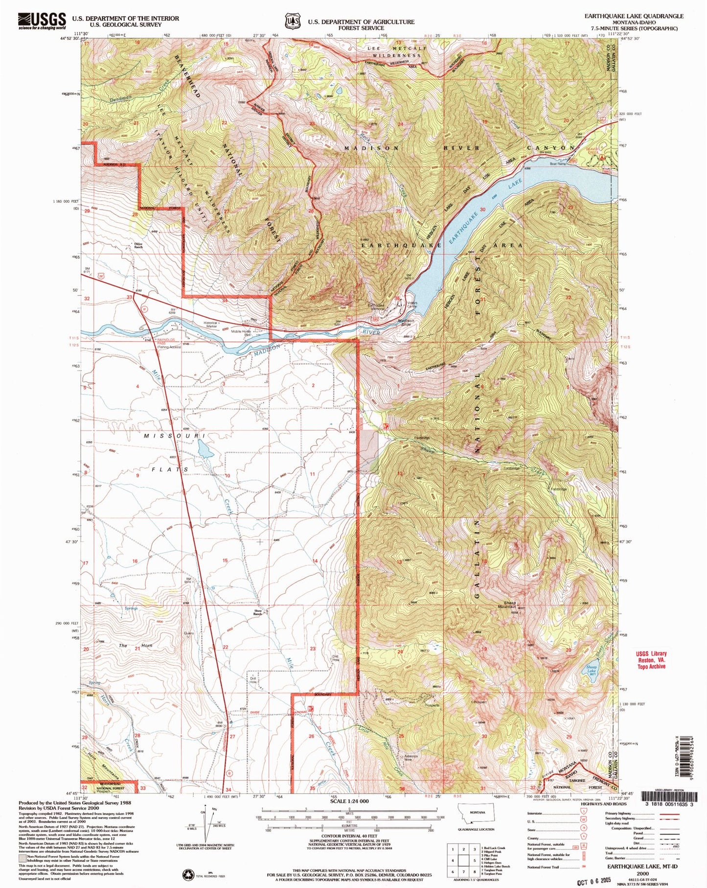
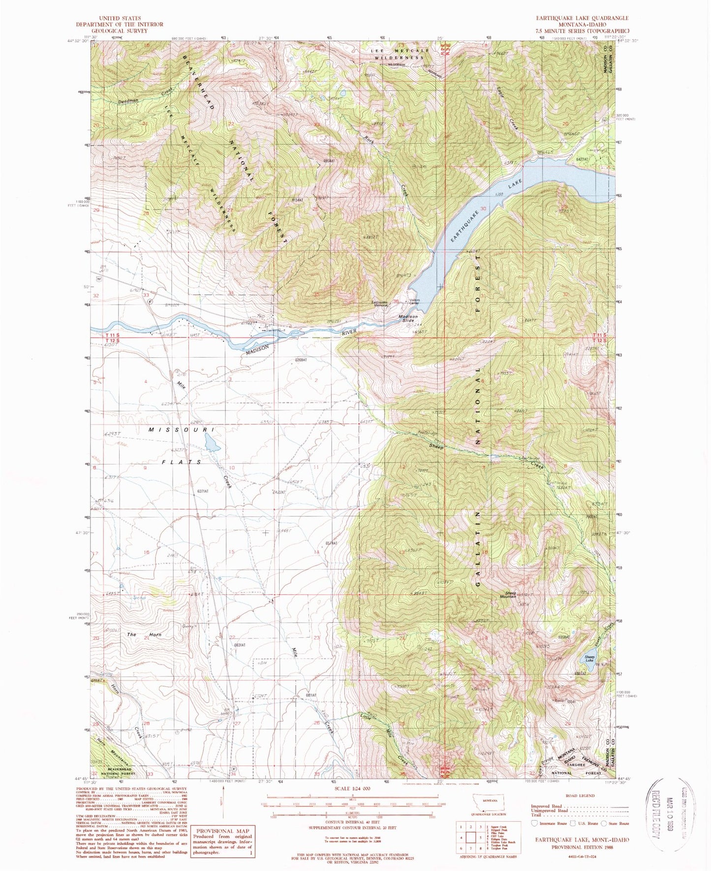
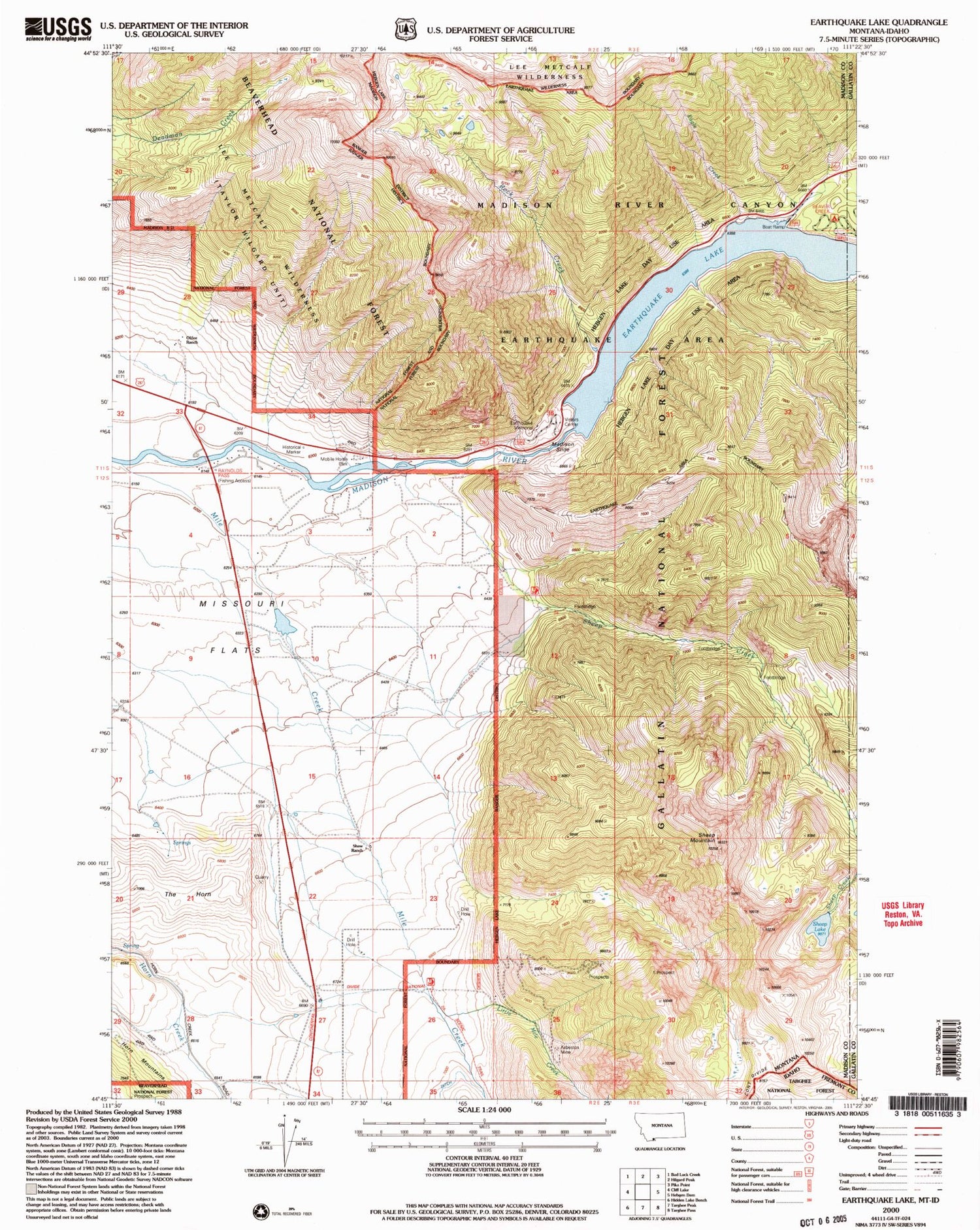
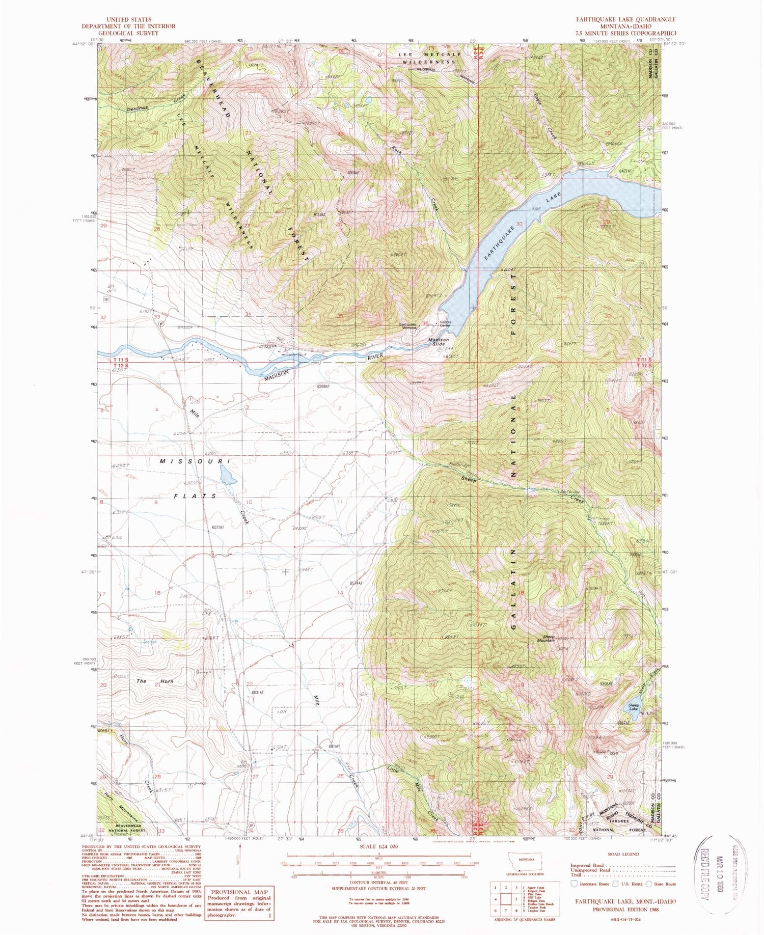
Classic USGS Earthquake Lake Montana 7.5'x7.5' Topo Map
Couldn't load pickup availability
Historical USGS topographic quad map of Earthquake Lake in the state of Montana. Typical map scale is 1:24,000, but may vary for certain years, if available. Print size: 24" x 27"
This quadrangle is in the following counties: Fremont, Gallatin, Madison.
The map contains contour lines, roads, rivers, towns, and lakes. Printed on high-quality waterproof paper with UV fade-resistant inks, and shipped rolled.
Contains the following named places: Eagle Creek, Little Mile Creek, Mile Creek, Olifee Ranch, Rock Creek, Rock Creek Campground, Shaw Ranch, Sheep Creek, Sheep Mountain, Stagger Ranch, The Horn, Earthquake Lake, Earthquake Memorial, Madison Slide, Sheep Lake, Beaver Creek Campground, Raynolds Pass Fishing Access Site, Earthquake Lake Dam, 12S02E03ABDB01 Well, Montbestos Post Office (historical), Slide Inn, Earthquake Lake Visitor Center


