MyTopo
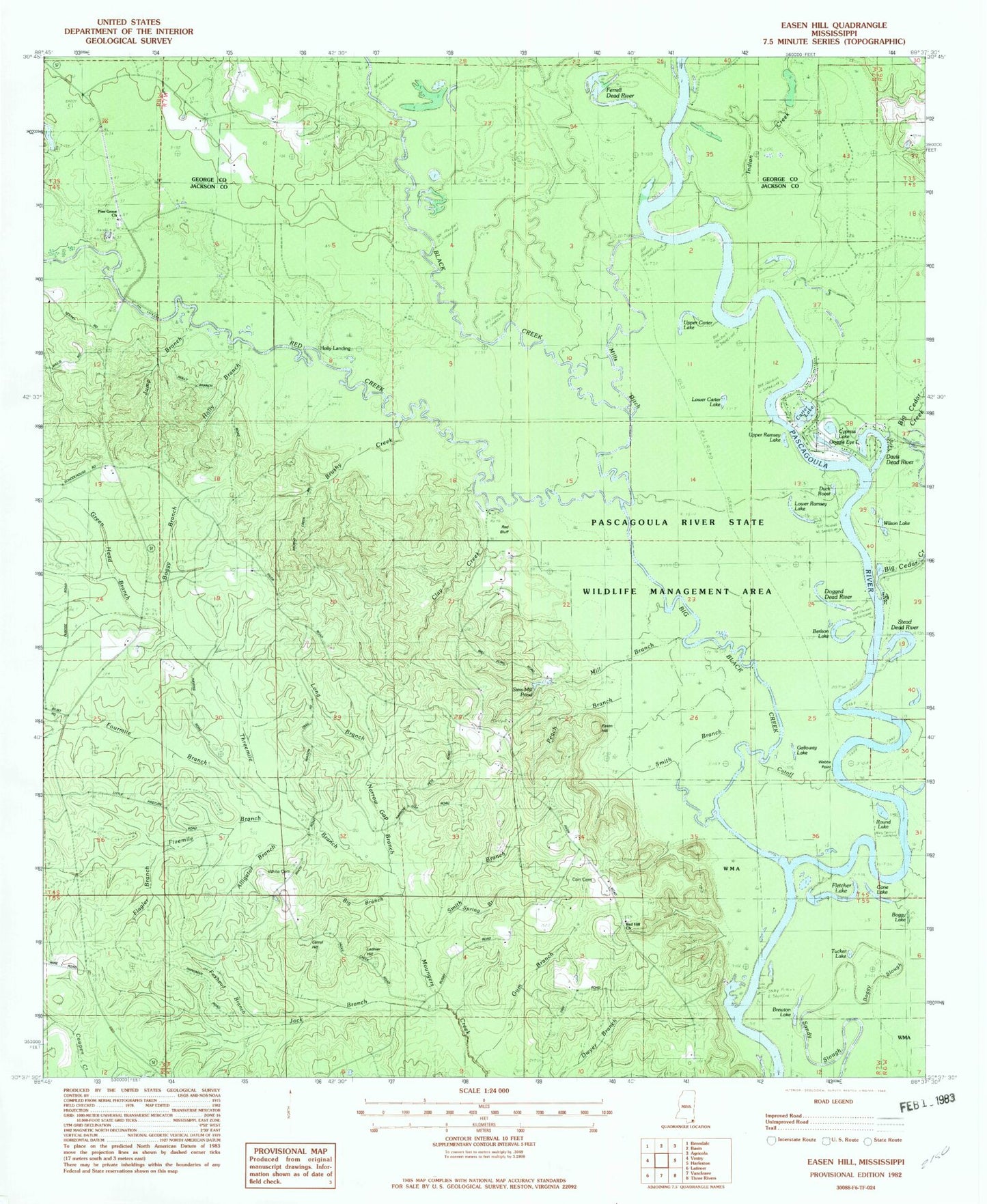
Classic USGS Easen Hill Mississippi 7.5'x7.5' Topo Map
Couldn't load pickup availability
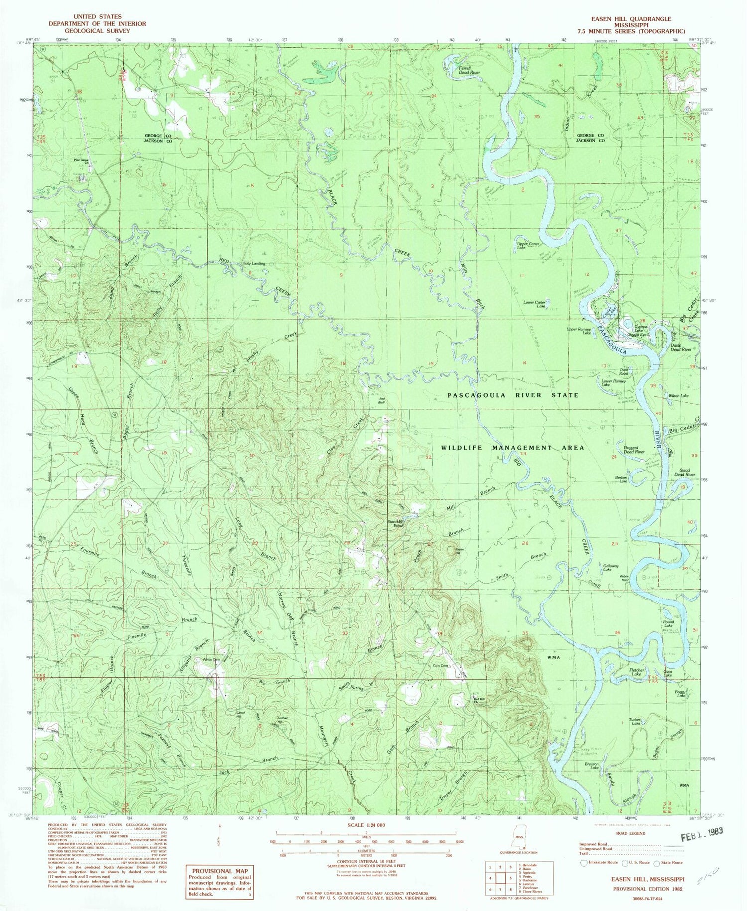
Historical USGS topographic quad map of Easen Hill in the state of Mississippi. Typical map scale is 1:24,000, but may vary for certain years, if available. Print size: 24" x 27"
This quadrangle is in the following counties: George, Jackson.
The map contains contour lines, roads, rivers, towns, and lakes. Printed on high-quality waterproof paper with UV fade-resistant inks, and shipped rolled.
Contains the following named places: Alligator Branch, Berlson Lake, Big Black Creek, Big Branch, Big Cedar Creek, Boggy Branch, Boggy Lake, Brewton Lake, Brushy Creek, Cane Lake, Carrol Hill, Carter Lake, Clay Creek, Davis Dead River, Dogged Dead River, Duck Roost, Easen Hill, Ferrell Dead River, Flagler Branch, Fletcher Lake, Foxhead Branch, Galloway Lake, Green Head Branch, Gum Branch, Holly Branch, Indian Creek, Jack Branch, Jump Branch, Ladnier Hill, Long Branch, Lower Carter Lake, Lower Ramsey Lake, Mill Branch, Mills Ditch, Narrow Gap Branch, Peach Branch, Pine Grove Church, Red Bluff, Red Hill Church, Round Lake, Sandy Slough, Sims Mill Pond, Smith Branch, Smith Branch, Spring Branch, Stead Dead River, Tom Clark Branch, Tucker Lake, Upper Carter Lake, Upper Ramsey Lake, Wilson Lake, Boggy Slough, Cain Cemetery, Cypress Lake, Daisy (historical), Dead Lake (historical), Goggle Eye Lake, Holders Ferry (historical), Webbs Point, Jeff White Cemetery, Holly Landing, Black Creek, Fivemile Branch, Fourmile Branch, Red Creek, Threemile Branch, Brewton (historical), Pine Grove Cemetery, Red Creek Mississippi Highway 57 Bridge, Central Jackson County Fire Station 4


