MyTopo
Classic USGS East Bernard Texas 7.5'x7.5' Topo Map
Couldn't load pickup availability
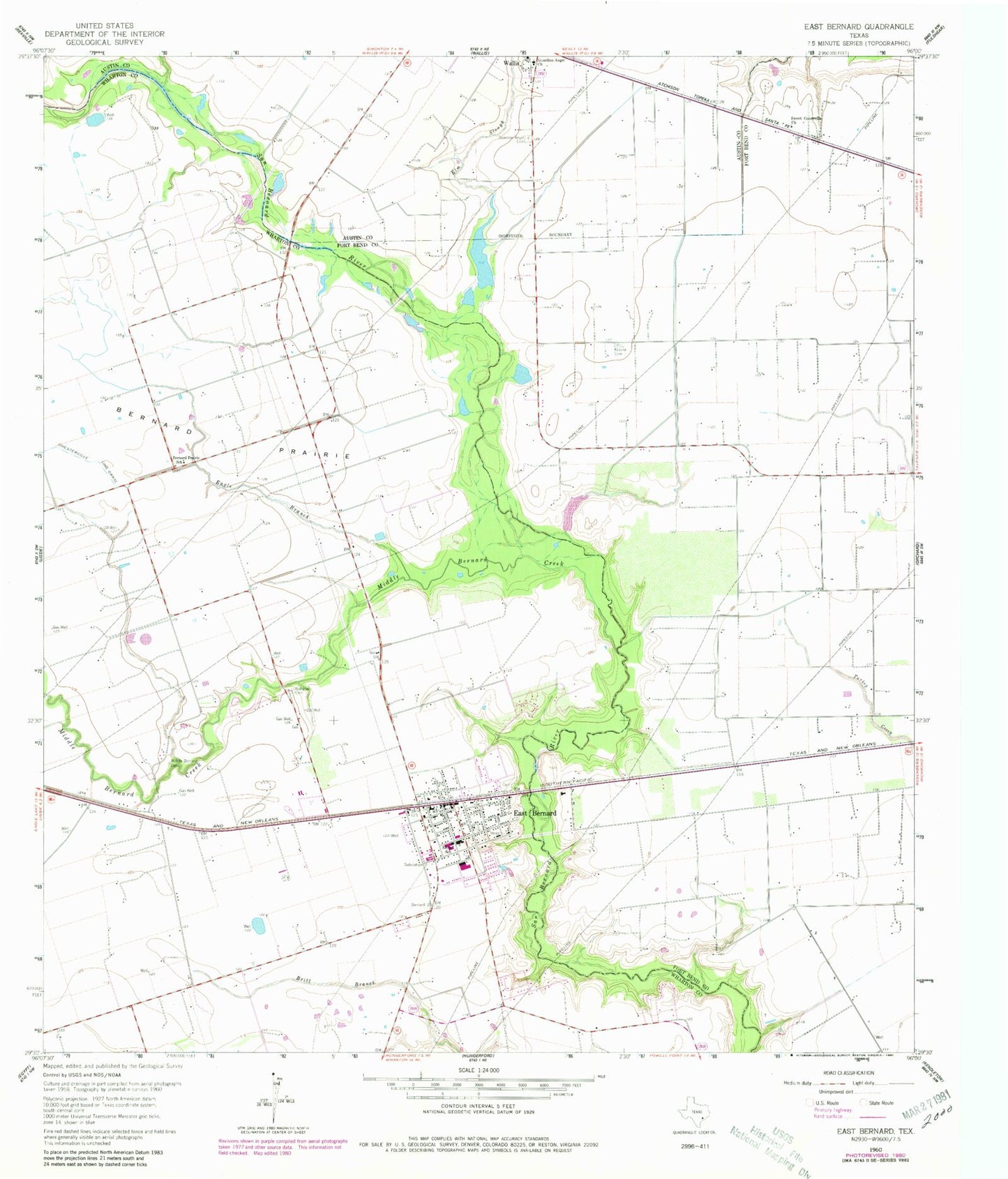
Historical USGS topographic quad map of East Bernard in the state of Texas. Map scale may vary for some years, but is generally around 1:24,000. Print size is approximately 24" x 27"
This quadrangle is in the following counties: Austin, Fort Bend, Wharton.
The map contains contour lines, roads, rivers, towns, and lakes. Printed on high-quality waterproof paper with UV fade-resistant inks, and shipped rolled.
Contains the following named places: Bernard Prairie, Bernard Prairie School, Brazos High School, City of East Bernard, Czech National Cemetery, Eagle Branch, East Bernard, East Bernard City Hall, East Bernard Elementary School, East Bernard Emergency Medical Services, East Bernard High School, East Bernard Junior High School, East Bernard Post Office, East Bernard Volunteer Fire Department, Elm Slough, Guardian Angel Cemetery, Guradian Angel Church, Krasna Cemetery, Middle Bernard Cemetery, Middle Bernard Creek, Penny Lake, Penny Lake Dam, Sweet Coneville Church, Wharton County Constable's Office Precinct 2, ZIP Code: 77435