MyTopo
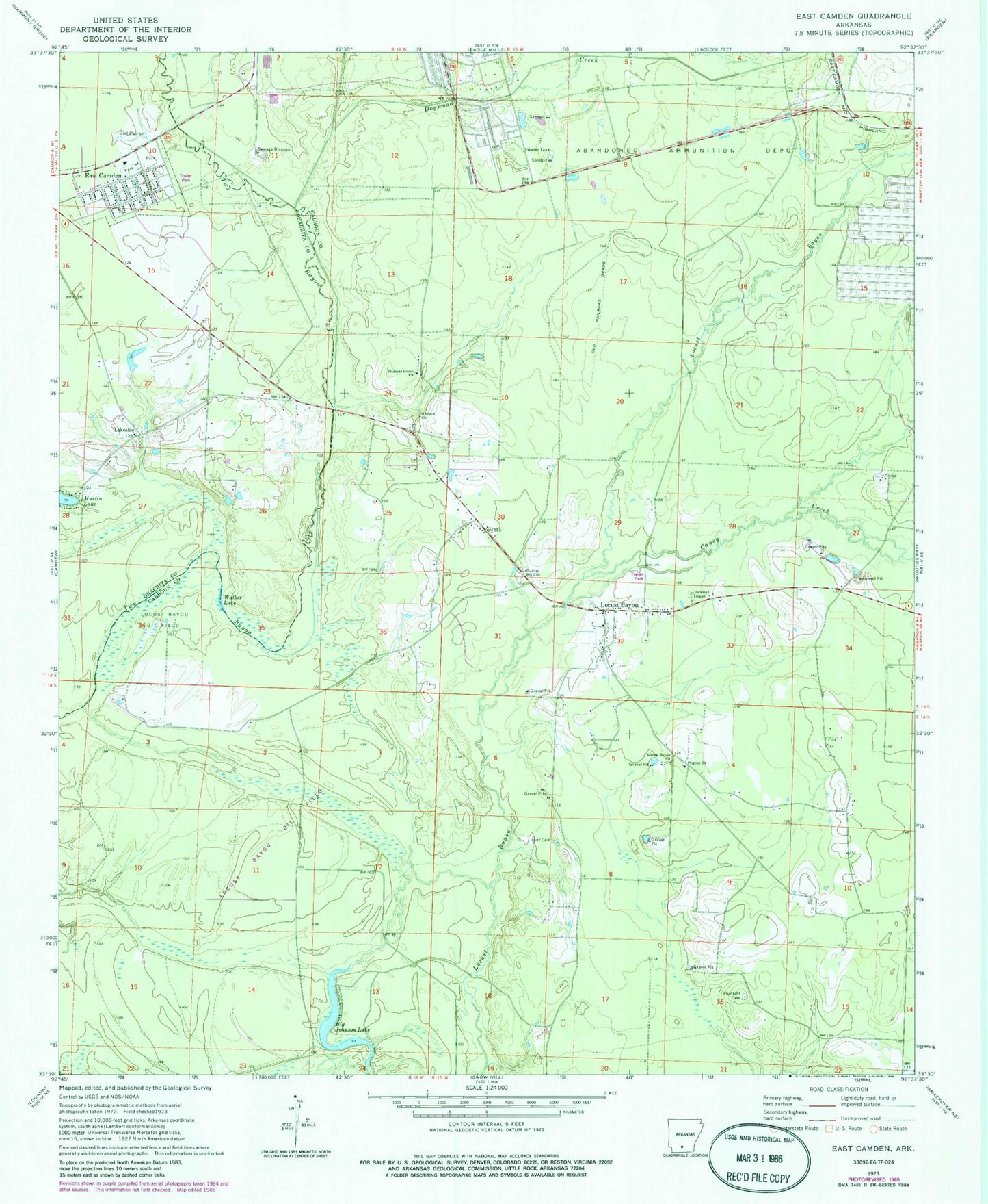
Classic USGS East Camden Arkansas 7.5'x7.5' Topo Map
Couldn't load pickup availability
Historical USGS topographic quad map of East Camden in the state of Arkansas. Map scale may vary for some years, but is generally around 1:24,000. Print size is approximately 24" x 27"
This quadrangle is in the following counties: Calhoun, Ouachita.
The map contains contour lines, roads, rivers, towns, and lakes. Printed on high-quality waterproof paper with UV fade-resistant inks, and shipped rolled.
Contains the following named places: Antioch Church, Big Johnson Lake, Caney Creek, Delhi, Dogwood Creek, East Camden, East Camden Fire Department, East Camden Police Department, East Camden Post Office, Furr Cemetery, Harbour, Lakeside, Lakeside United Methodist Church, Locust Bayou, Locust Bayou Church, Locust Bayou Fire Department, Locust Bayou Oil Field, Ouachita County Fire District 1 Station 2, Pilgrim Church, Pleasant Grove Baptist Church, Plunkett Cemetery, Town of East Camden, Township of River, Walker Lake