
MyTopo
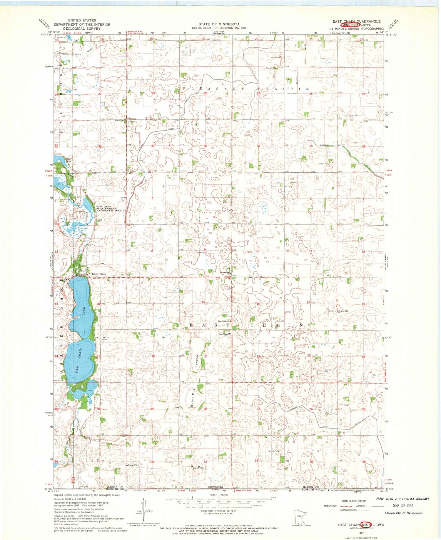
Classic USGS East Chain Minnesota 7.5'x7.5' Topo Map
Couldn't load pickup availability
Historical USGS topographic quad map of East Chain in the state of Minnesota. Map scale may vary for some years, but is generally around 1:24,000. Print size is approximately 24" x 27"
This quadrangle is in the following counties: Kossuth, Martin.
The map contains contour lines, roads, rivers, towns, and lakes. Printed on high-quality waterproof paper with UV fade-resistant inks, and shipped rolled.
Contains the following named places: Burnt Out Lakebed, Calkins Farm Cemetery, Cornfield Canyon Airport, County Ditch Number Sixtyfour, County Ditch Number Sixtynine, East Chain, East Chain Church, East Chain Lake, East Chain School, East Chain State Wildlife Management Area, Evangelical Church, Holy Family Catholic Church, Judicial Ditch Number One Hundred Five, Judicial Ditch Number Two, Pleasant Prairie Cemetery, Saint Pauls Church, Township of East Chain


