MyTopo
Classic USGS East Crooked Lake Minnesota 7.5'x7.5' Topo Map
Regular price
$16.95
Regular price
Sale price
$16.95
Unit price
per
Couldn't load pickup availability
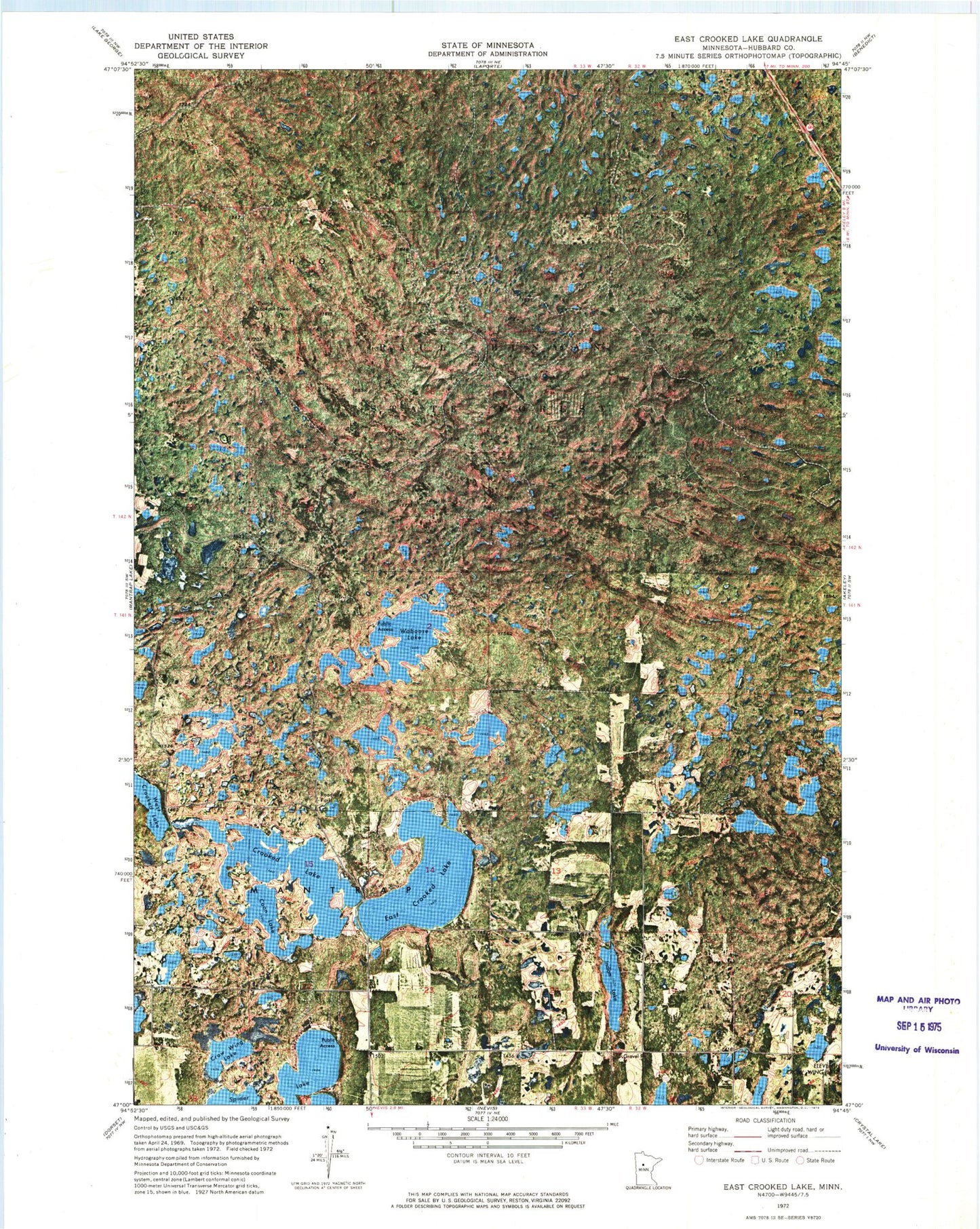
Historical USGS topographic quad map of East Crooked Lake in the state of Minnesota. Typical map scale is 1:24,000, but may vary for certain years, if available. Print size: 24" x 27"
This quadrangle is in the following counties: Hubbard.
The map contains contour lines, roads, rivers, towns, and lakes. Printed on high-quality waterproof paper with UV fade-resistant inks, and shipped rolled.
Contains the following named places: Coon Lake, Crooked Lake, Crow Wing Lake, East Crooked Lake, Indian Lake, Waboose Lake, Thorpe Lookout Tower, Township of Mantrap, Township of Thorpe, Whispering Pines Resort and Campground, Breezy Pines Resort and Campground