MyTopo
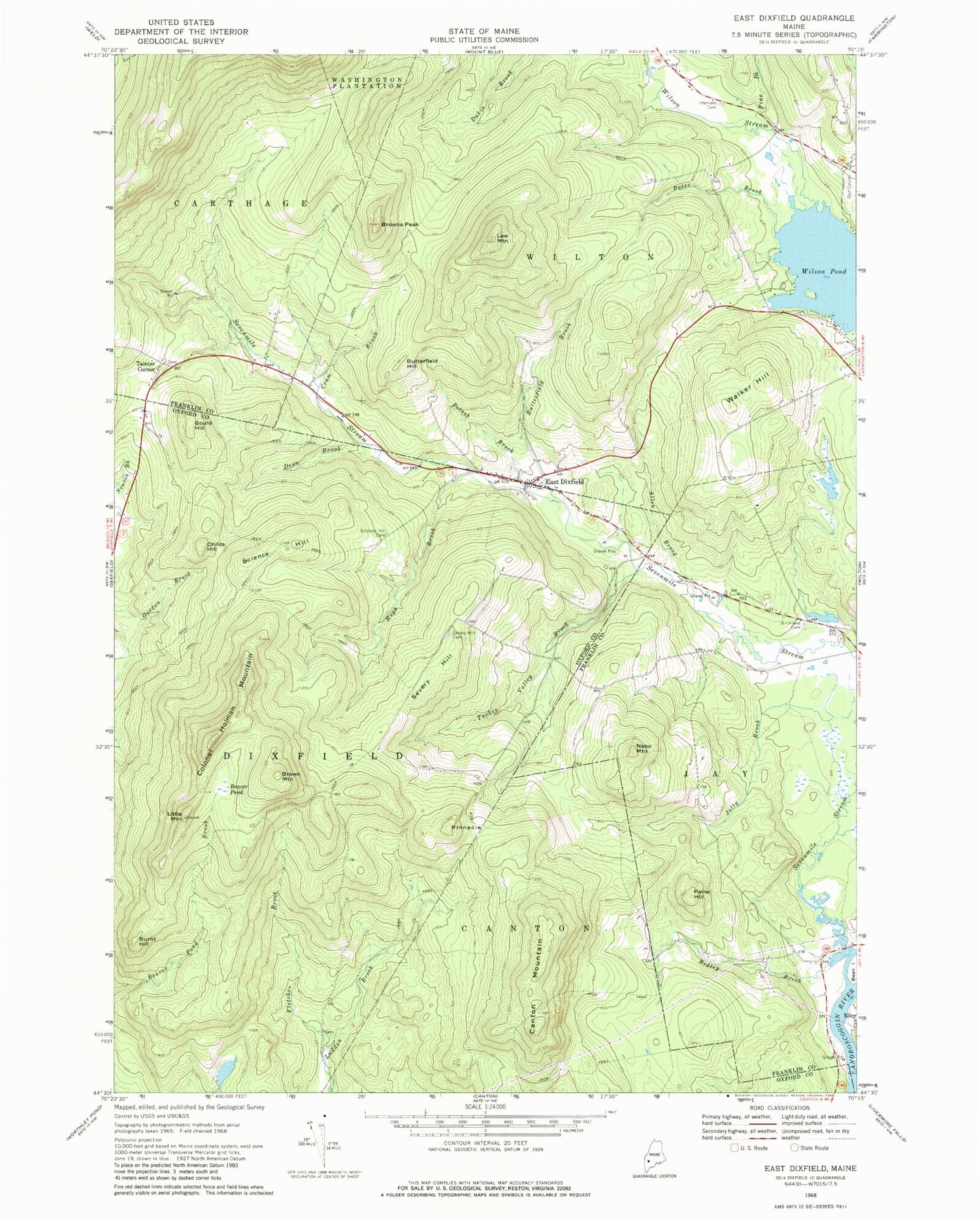
Classic USGS East Dixfield Maine 7.5'x7.5' Topo Map
Couldn't load pickup availability
Historical USGS topographic quad map of East Dixfield in the state of Maine. Typical map scale is 1:24,000, but may vary for certain years, if available. Print size: 24" x 27"
This quadrangle is in the following counties: Franklin, Oxford.
The map contains contour lines, roads, rivers, towns, and lakes. Printed on high-quality waterproof paper with UV fade-resistant inks, and shipped rolled.
Contains the following named places: Allen Brook, Bates Brook, Beaver Pond, Birchland Cemetery, Brown Mountain, Browns Peak, Burnt Hill, Butterfield Brook, Butterfield Hill, Canton Mountain, Childs Hill, Colonel Holman Mountain, Cram Brook, Dean Brook, East Dixfield, Fletcher Brook, Gould Hill, Hugh Brook, Adams Cemetery, Jolly Brook, Law Mountain, Little Mountain, Nebo Mountain, Paine Hill, Pine Brook, Pinnacle, Potash Brook, Ridley Brook, Science Hill, Science Hill Cemetery, Sevenmile Stream, Severy Hill, Severy Hill Cemetery, Tucker Valley Brook, Walker Hill, Wilson Pond, Wilson Stream, Tainter Corner, East Dixfield Cemetery, Tainter Corner Cemetery, East Dixfield Post Office


