MyTopo
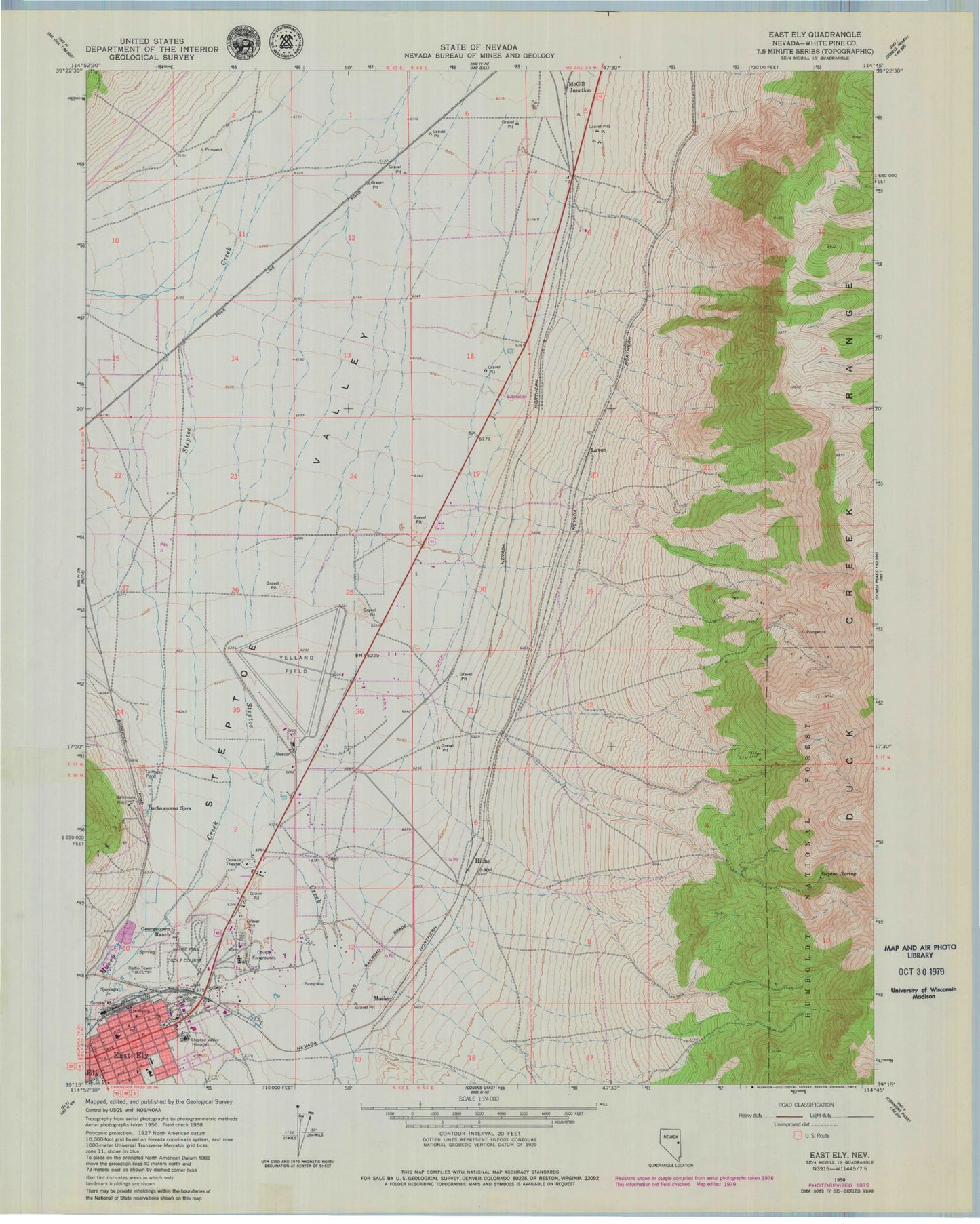
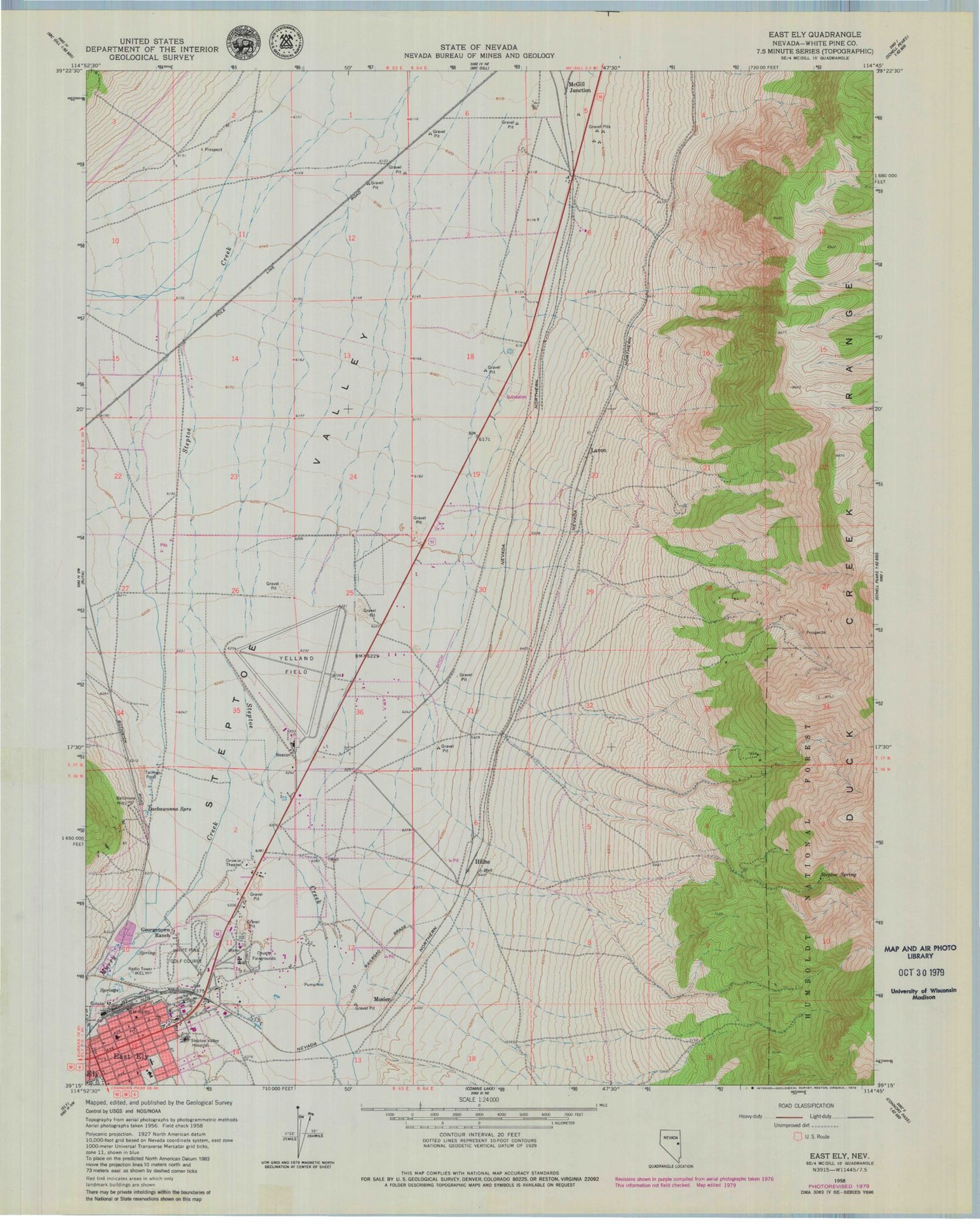
Classic USGS East Ely Nevada 7.5'x7.5' Topo Map
Couldn't load pickup availability
Historical USGS topographic quad map of East Ely in the state of Nevada. Map scale may vary for some years, but is generally around 1:24,000. Print size is approximately 24" x 27"
This quadrangle is in the following counties: White Pine.
The map contains contour lines, roads, rivers, towns, and lakes. Printed on high-quality waterproof paper with UV fade-resistant inks, and shipped rolled.
Contains the following named places: Baltimore Mill, City of Ely, David E Norman Elementary School, Drive Inn Theatre, Duck Creek Range, Early Childhood Center, East Ely, East Ely Station Post Office, Ely Airport /Yelland Field, Ely Township, Ely Warm Springs, Georgetown Ranch, Hiline, Huesser Winter Well, KELY-AM (Ely), Lackawanna Springs, Lackawanna Volunteer Fire Department, Lavon, Lead King Mine, McGill Junction, Mosier, Murry Creek, Nevada Highway Patrol Northern Command Ely Station, Prince Shopping Center, Steptoe Spring, Warm Spring, White Pine Care Center, White Pine County Emergency Medical Services and Fire Rescue Station 1, White Pine Golf Course, William Bee Ririe Critical Access Hospital


