MyTopo
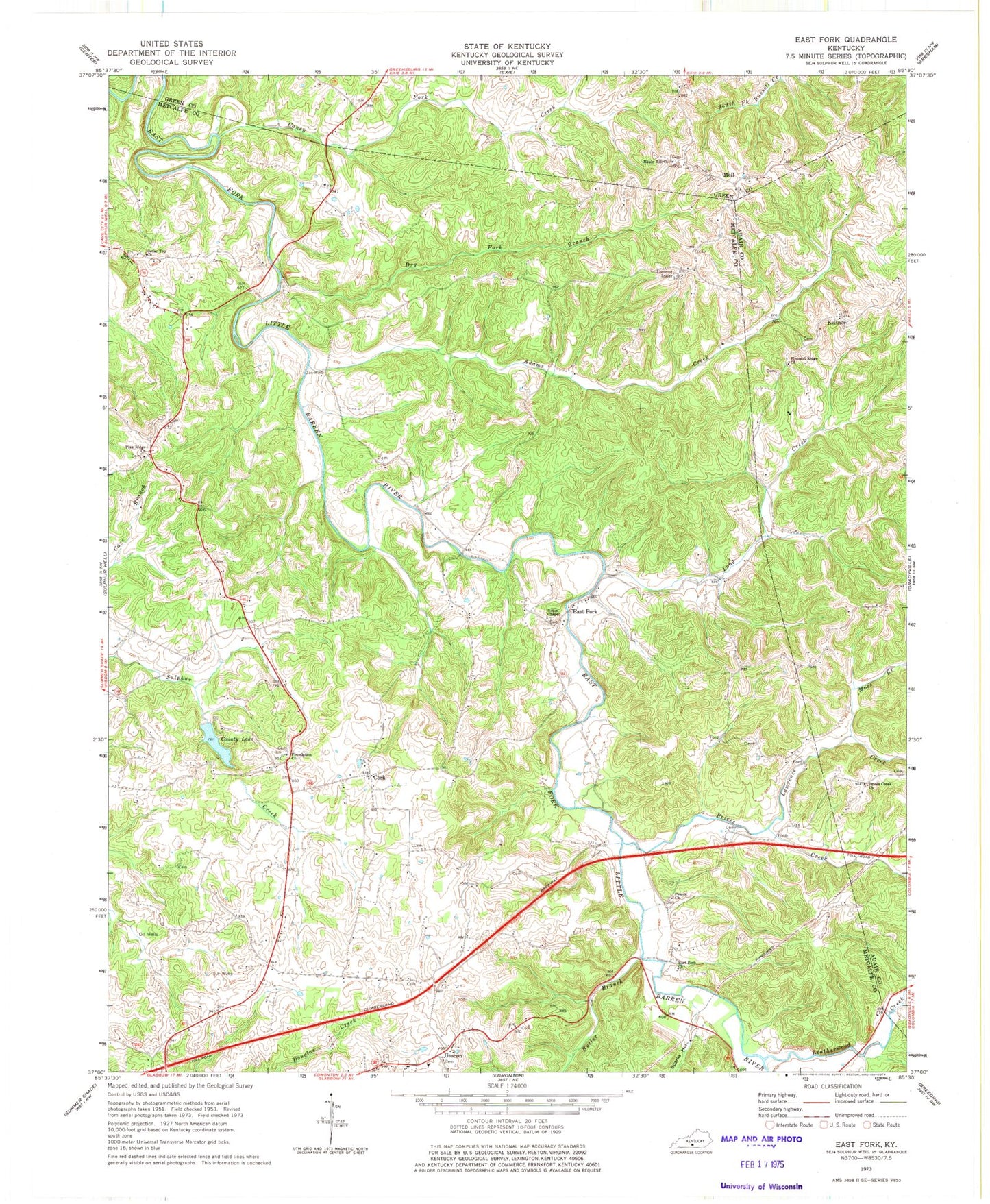
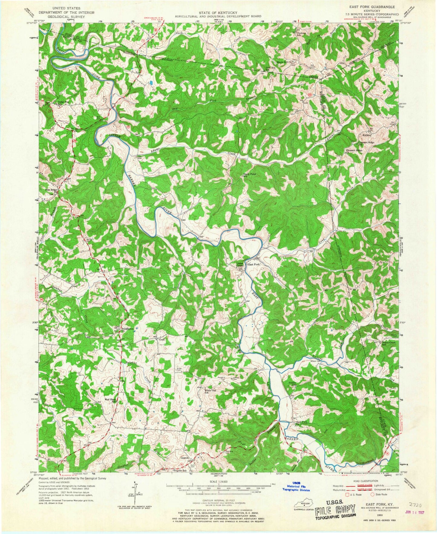
Classic USGS East Fork Kentucky 7.5'x7.5' Topo Map
Couldn't load pickup availability
Historical USGS topographic quad map of East Fork in the state of Kentucky. Typical map scale is 1:24,000, but may vary for certain years, if available. Print size: 24" x 27"
This quadrangle is in the following counties: Adair, Green, Metcalfe.
The map contains contour lines, roads, rivers, towns, and lakes. Printed on high-quality waterproof paper with UV fade-resistant inks, and shipped rolled.
Contains the following named places: Adams Creek, Butler Branch, Caney Fork Creek, Cedar Top Church, County Lake, Dry Fork Branch, East Fork, East Fork Church, Foundation Church, Lawrence Creek, Leatherwood Creek, Long Creek, Maple Hill Church, Moss Branch, Penick Church, Pink Ridge Church, Pleasant Ridge United Methodist Church, Prices Creek, Prices Creek Church, Society Hill Church, Sparks Hollow, Union Chapel, Cork, Gascon, Keltner, Mell, WKNK-FM (Edmonton), Lick Branch, Bennett Ridge, Prices Creek (historical)


