MyTopo
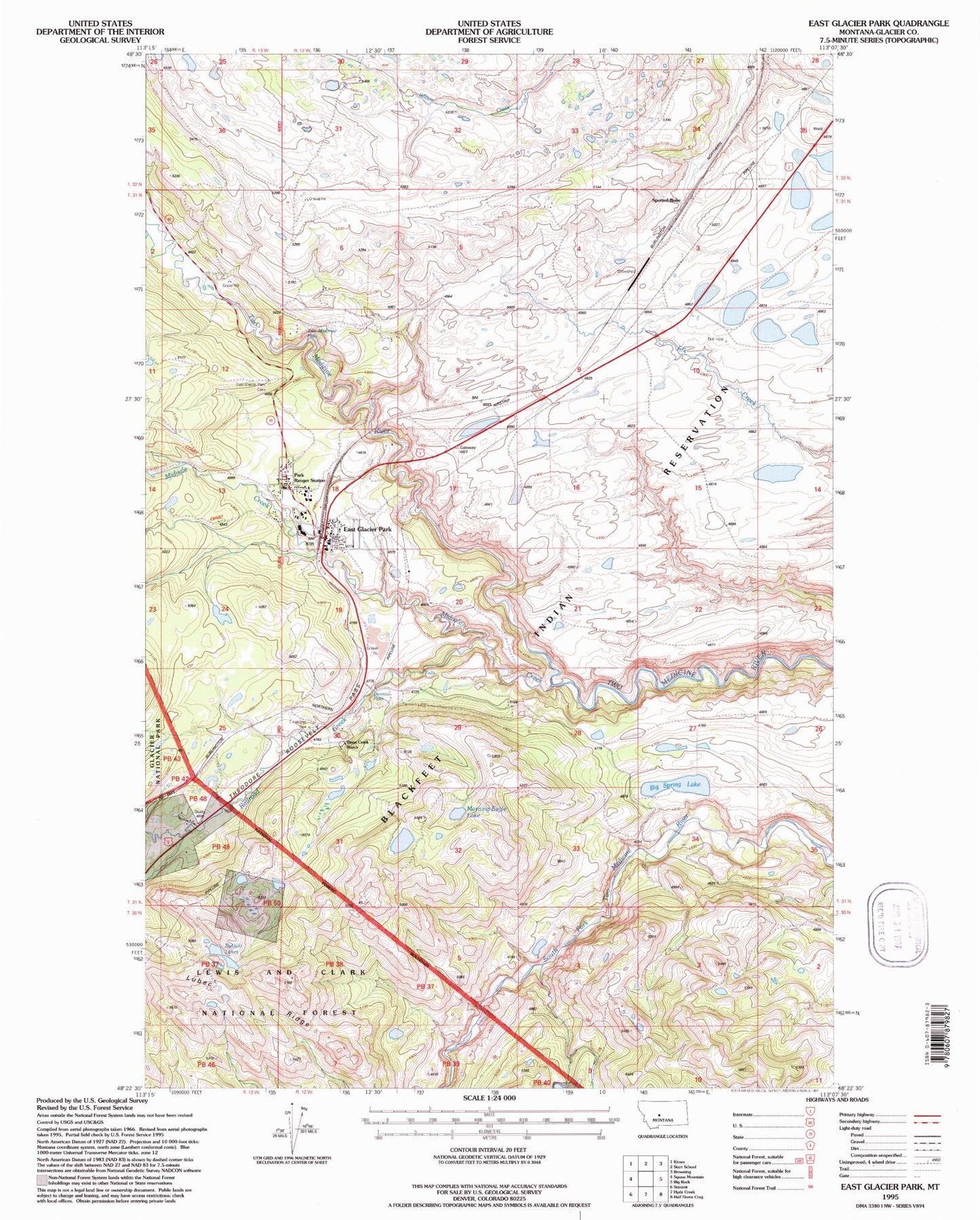
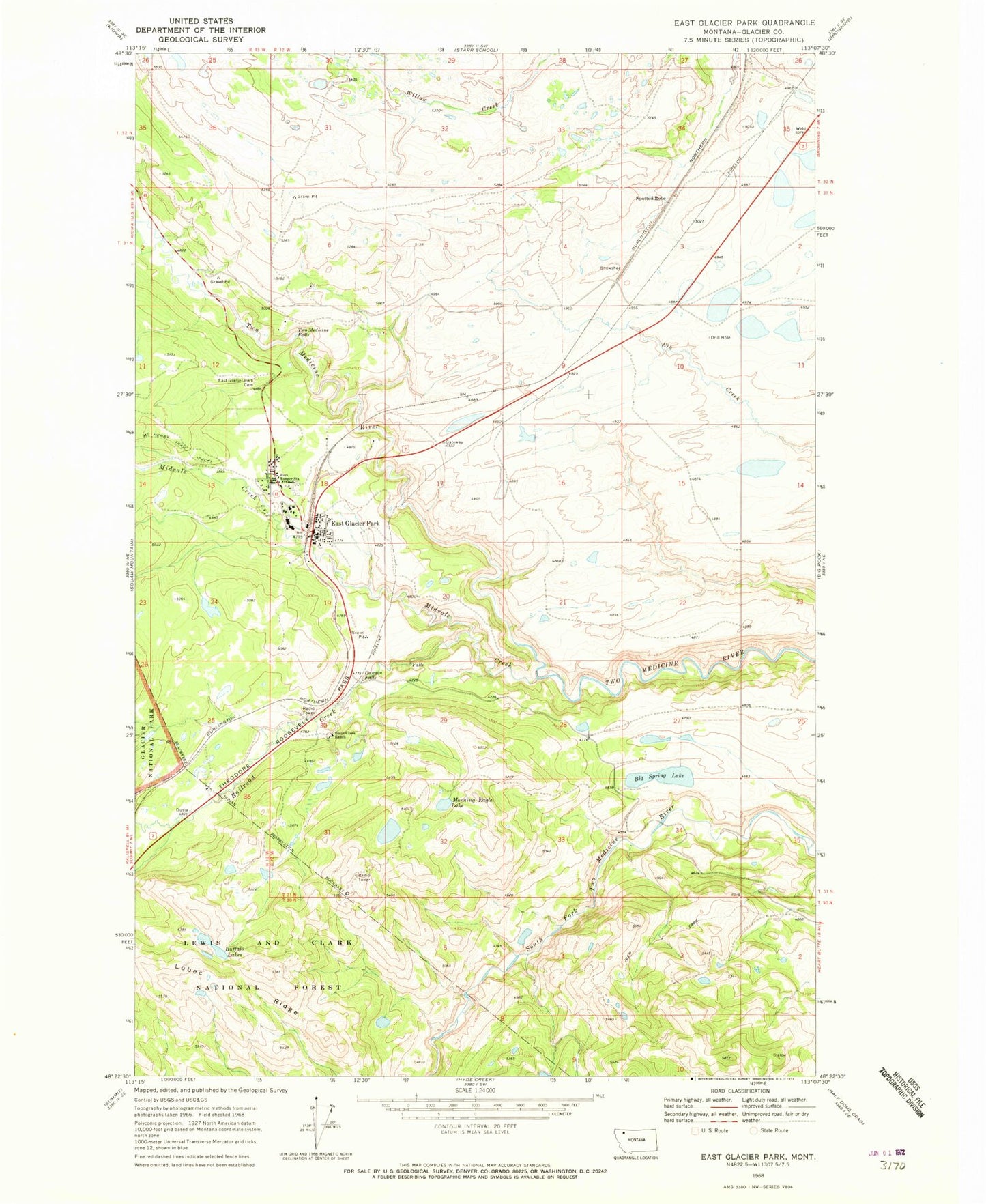
Classic USGS East Glacier Park Montana 7.5'x7.5' Topo Map
Couldn't load pickup availability
Historical USGS topographic quad map of East Glacier Park in the state of Montana. Map scale may vary for some years, but is generally around 1:24,000. Print size is approximately 24" x 27"
This quadrangle is in the following counties: Glacier.
The map contains contour lines, roads, rivers, towns, and lakes. Printed on high-quality waterproof paper with UV fade-resistant inks, and shipped rolled.
Contains the following named places: 32N12W34CBCD01 Spring, Big Spring Lake, Bison Creek Ranch, Buffalo Lakes, Chapel of the Ascension, Dawson Falls, East Glacier Park, East Glacier Park Branch Library, East Glacier Park Cemetery, East Glacier Park Post Office, East Glacier Park School, East Glacier Park Village, East Glacier Park Village Census Designated Place, East Glacier Park Volunteer Fire Department, Elk, Firebrand Campground, Glacier Park, Glacier Park Lodge Golf Course, Lubec Ridge, Midvale Creek, Midvale Creek Bridge, Morning Eagle Lake, Railroad Creek, Sears Motel and Campground, Smileys RV Park, Spotted Robe, Two Medicine Falls, Y Lazy R RV Park