MyTopo
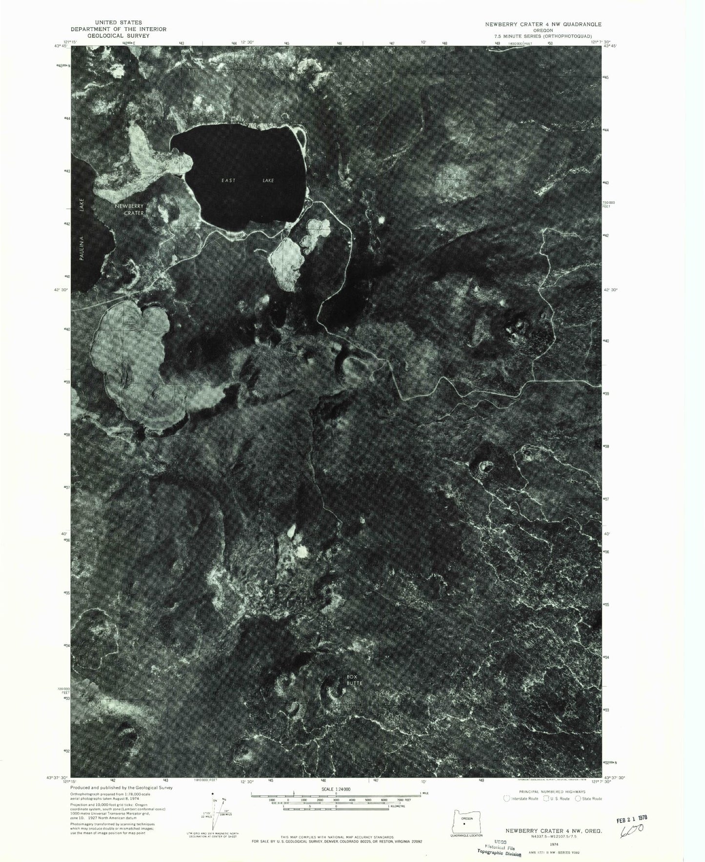
Classic USGS East Lake Oregon 7.5'x7.5' Topo Map
Couldn't load pickup availability
Historical USGS topographic quad map of East Lake in the state of Oregon. Map scale may vary for some years, but is generally around 1:24,000. Print size is approximately 24" x 27"
This quadrangle is in the following counties: Deschutes.
The map contains contour lines, roads, rivers, towns, and lakes. Printed on high-quality waterproof paper with UV fade-resistant inks, and shipped rolled.
Contains the following named places: Atsa Cone, Big Obsidian Flow Trailhead, Box Butte, Camp Butte, Central Pumice Cone, Cinder Cone, Cinder Hill Campground Boat Ramp, Cinder Hill Recreation Site, Devils Horn, Double Butte, East Lake, East Lake Campground Boat Ramp, East Lake Recreation Site, East Lake Resort, East Lake Resort Marina, Hot Springs Boating Site, Hot Springs Recreation Site, Kweo Butte, Little Crater Campground Boat Ramp, Little Crater Recreation Site, Newberry Crater, Newberry Volcano, North Paulina Peak, Qdai Dome, Red Hill, Sabas Butte, Sand Butte, Skunk Rim, Split Butte, The Dome, Topso Butte, Warm Springs Campground, Wasam Butte, Weasel Butte