MyTopo
Classic USGS East Leroy Michigan 7.5'x7.5' Topo Map
Couldn't load pickup availability
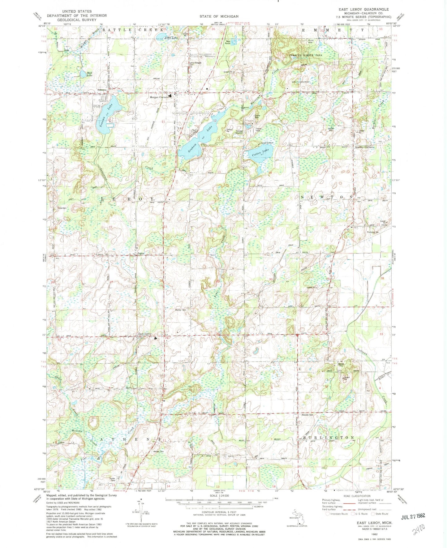
Historical USGS topographic quad map of East Leroy in the state of Michigan. Map scale may vary for some years, but is generally around 1:24,000. Print size is approximately 24" x 27"
This quadrangle is in the following counties: Calhoun.
The map contains contour lines, roads, rivers, towns, and lakes. Printed on high-quality waterproof paper with UV fade-resistant inks, and shipped rolled.
Contains the following named places: Abscota Cemetery, Abscota Post Office, Abscota School, Alder Creek, Binder Park Golf Course, Birchwood Estates Mobile Home Park, Blackett School, Burrell School, Camp Holston, Cedar Farms Golf Club, Charles Binder Park, Coates School, Cotton Lake, East Leroy, East Leroy Community Church, East Leroy Elementary School, East Leroy Post Office, East Leroy Station, French Drain, German Cemetery, Graham Lake, Hickory Hills Village Mobile Home Park, Houghton Drain, Joppa, Joppa Post Office, Joppa Station, Leroy Township Fire Department, Mather - Voyce Cemetery, Miller and Melody Drain, Morgan Cemetery, Morgan Corners, Mud Lake, Newton Post Office, Newton School, Newton Township Fire Department, Old Red School, Paradise School, Pearl Lake, Severence Creek, Sonoma, Sonoma Elementary School, Sonoma Lake, Sonoma Post Office, Sonoma Station, Stanley Corners, Stanley Post Office, Township of Leroy, Walker Cemetery, Walker School, Waterman Drain, ZIP Code: 49051