MyTopo
Classic USGS East Liverpool South Ohio 7.5'x7.5' Topo Map
Couldn't load pickup availability
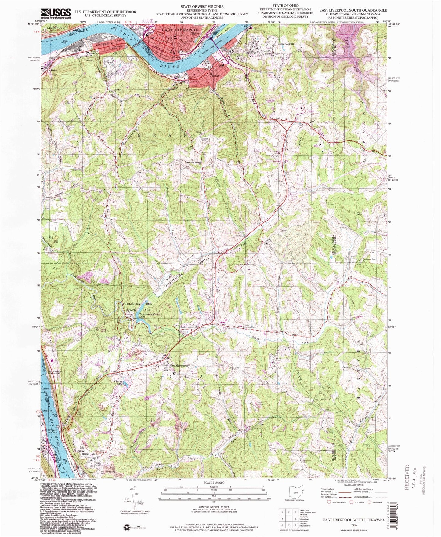
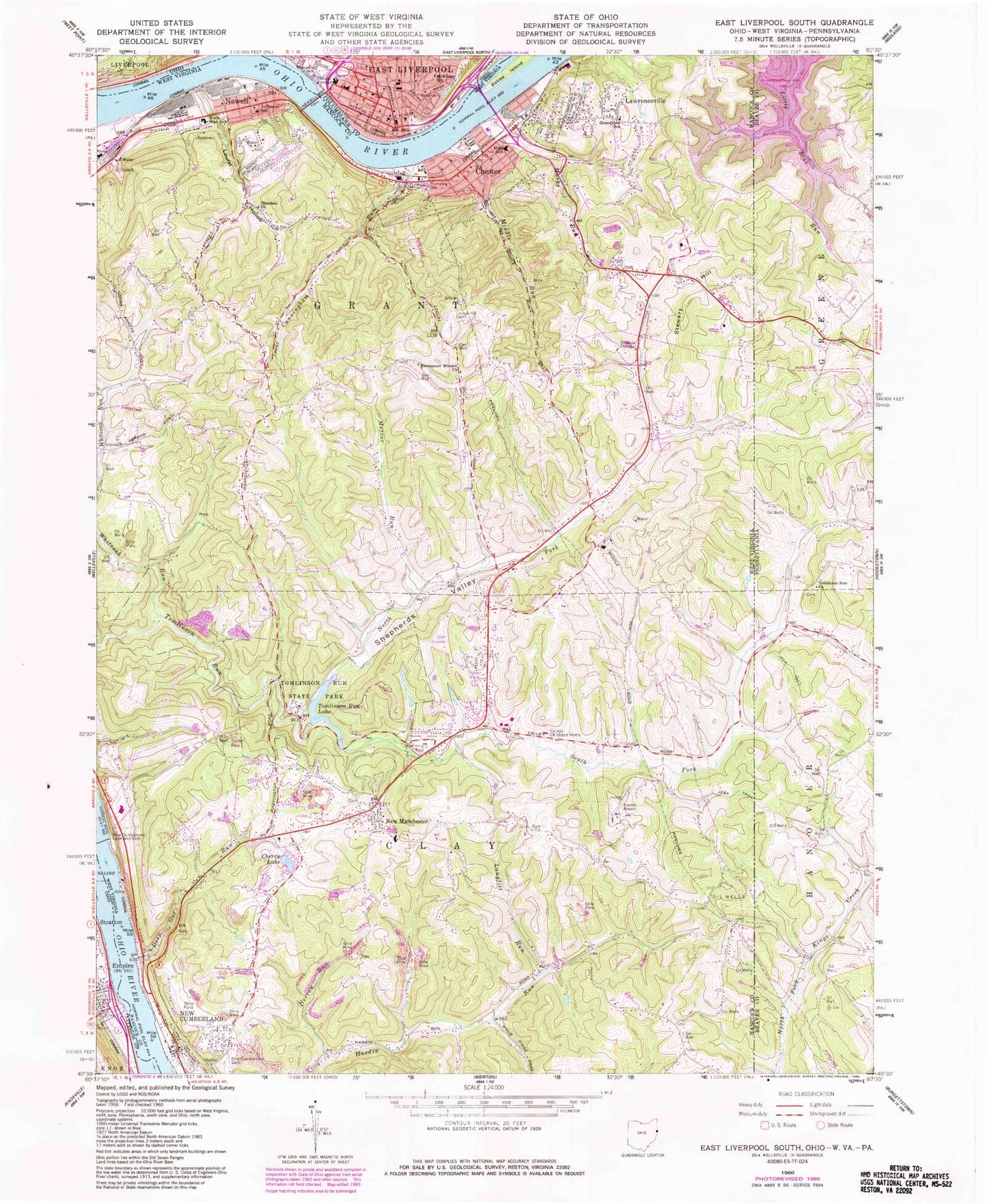
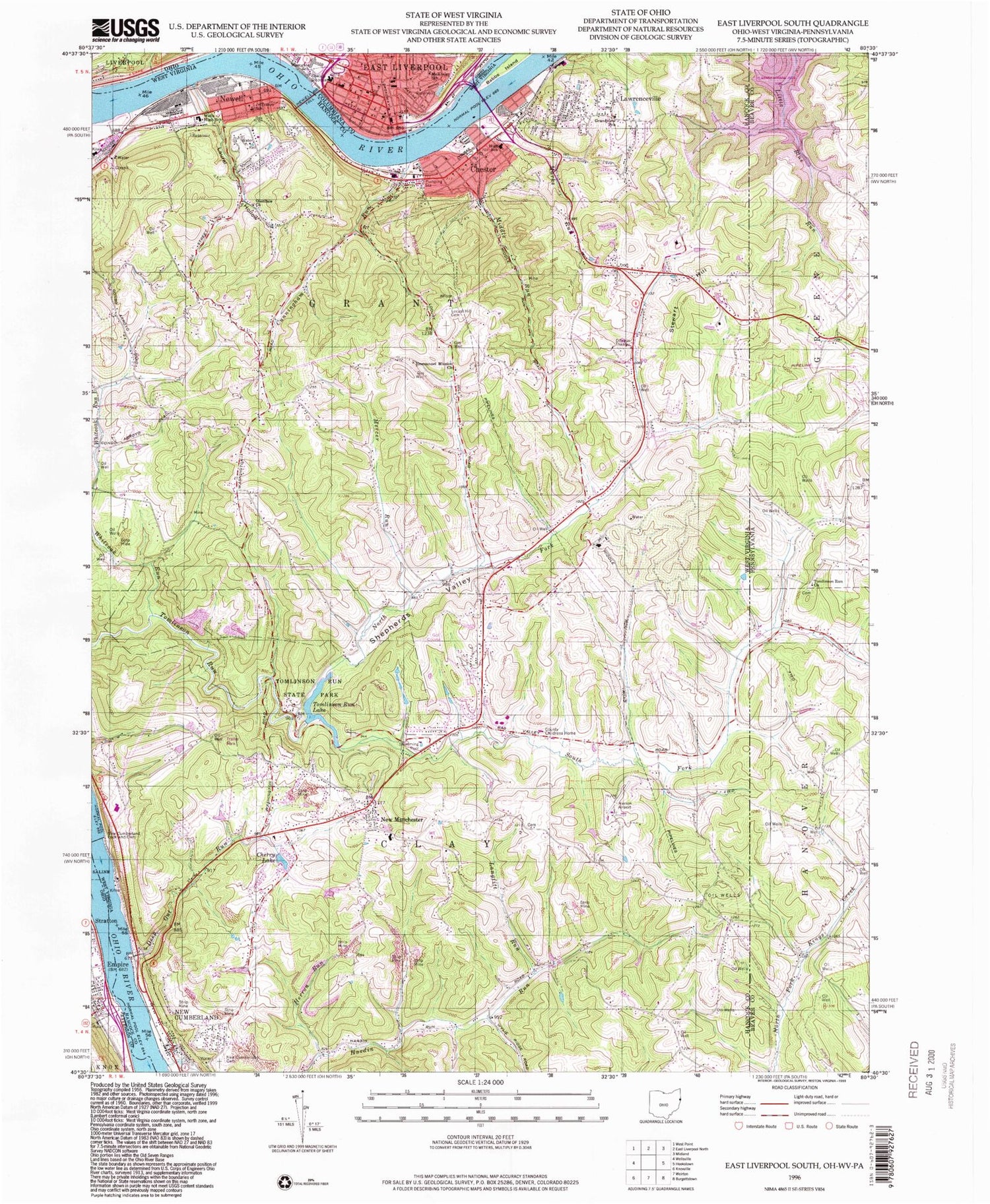
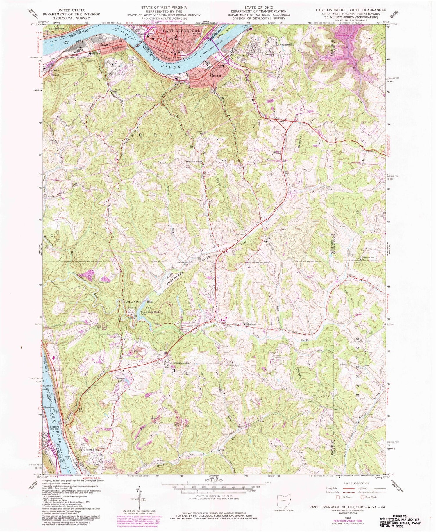
Historical USGS topographic quad map of East Liverpool South in the states of Ohio, West Virginia, Pennsylvania. Map scale may vary for some years, but is generally around 1:24,000. Print size is approximately 24" x 27"
This quadrangle is in the following counties: Beaver, Columbiana, Hancock, Jefferson.
The map contains contour lines, roads, rivers, towns, and lakes. Printed on high-quality waterproof paper with UV fade-resistant inks, and shipped rolled.
Contains the following named places: Allen T Allison Elementary School, B'nai Israel Temple, California Hollow, Calvary United Methodist Church, Carnegie Free Library, Carpenter Run, Central School, Cherry Lake, Chester, Chester Church of the Nazarene, Chester First Christian Church, Chester Police Department, Chester Post Office, Chester Volunteer Fire Department, Church of Christ, City of Chester, Clarke Athletic Field, Conservation Commission Spring, Cunningham Run, Deep Gut Run, Diamond Historic District, East Fifth Street Historic District, East Liverpool, East Liverpool City Hospital, East Liverpool Fire Department Station 1, East Liverpool Firefighting Museum, East Liverpool Middle School, East Liverpool Museum of Ceramics, East Liverpool Osteopath Hospital, East Liverpool Police Department, East Liverpool Post Office, Emmanuel Mission Church, Empire, Empire Fire Department, Empire Post Office, Empire United Methodist Church, Fairhaven, First Baptist Church of East Liverpool, First Church of Christ, First Church of God, First Church of the Nazarene of East Liverpool, First Evangelical Presbyterian Church, First Free Methodist Church, First Methodist Episcopal Church, First Presbyterian Church, First United Methodist Church, First United Methodist Church of East Liverpool, Flats Cemetery, Friendship Gospel Tabernacle, Glendale Church, Grace Baptist Chapel, Grandview School, Grant District, Hancock County, Hardin Run, Herron Airport, Herron Run, Hillcrest Wildlife Management Area, Hilltop Drive-in, Jefferson Elementary School, Jefferson School, Jennings Randolph Bridge, Jennings Randolph Memorial Bridge, Jeremy Run, Jethroe Run, John D Rockefeller IV Career Center, Kent State University East Liverpool Campus, Kingdom Hall of Jehovahs Witnesses, Langfitt Run, Laurel Hollow, Lawrenceville, Lawrenceville Volunteer Fire Department, Lifeteam Emergency Medical Services, Lock and Dam Number 8, Lock and Dam Number 9, Locust Hill Cemetery, Lynn Murray Public Library, Marks Run, Mary Patterson Girls Home, Mercer Run, Middle Run, Muchmores Run, New Cumberland Cemetery, New Cumberland Fire Department, New Manchester, New Manchester Elementary School, New Manchester Post Office, New Manchester Volunteer Fire Department, Newell, Newell Bridge, Newell Census Designated Place, Newell Nazarene Church, Newell Post Office, Newell Volunteer Fire Department, Newell Water Works, North Fork Tomlinson Run, Oak Glen High School, Oak Glen Middle School, Pleasant Hills Golf Course, Sacred Heart Church, Saint Aloysius Catholic Church, Saint Aloysius School, Saint Johns Evangelical Lutheran Church, Saint Matthews Episcopal Church, Saint Stephens Episcopal Church, Shepherds Valley, Sheridan African Methodist Episcopal Church, South Fork Tomlinson Run, Stateline Airport, Stewart Hill, The Little Building, Tomlinson Run Church, Tomlinson Run Dam, Tomlinson Run Lake, Tomlinson Run State Park, Tomlinson Run United Presbyterian Cemetery, Tri - County Ambulance Service, Turkeyfoot, Walkers, Walkers Post Office, Wells High School, West Virginia State Police Troop 1 - New Cumberland Detachment, Westgate Elementary School, Westminster United Church, Whiteoak Run, ZIP Codes: 26034, 26047, 26050, 26056, 43926


