
MyTopo
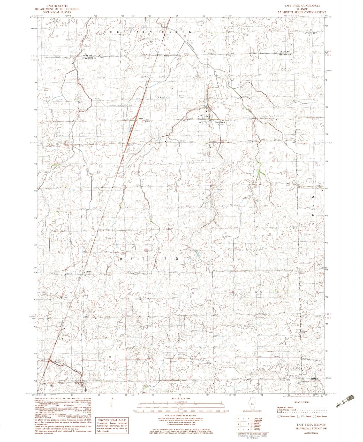
Classic USGS East Lynn Illinois 7.5'x7.5' Topo Map
Couldn't load pickup availability
Historical USGS topographic quad map of East Lynn in the state of Illinois. Map scale may vary for some years, but is generally around 1:24,000. Print size is approximately 24" x 27"
This quadrangle is in the following counties: Iroquois, Vermilion.
The map contains contour lines, roads, rivers, towns, and lakes. Printed on high-quality waterproof paper with UV fade-resistant inks, and shipped rolled.
Contains the following named places: Arnold School, Bratton School, Clark School, East Lynn, East Lynn Cemetery, East Lynn Census Designated Place, East Lynn Post Office, Hustle, Murphy School, Newman School, Peterson School, Pine Grove School, Pleasant Valley School, Prairie Chapel Cemetery, Prairie View Chapel, Rankin Fire Protection District East Lynn, Reilly, Russells Airport, Schwartz Church, Science Hill School, Township of Butler, ZIP Code: 60932


