
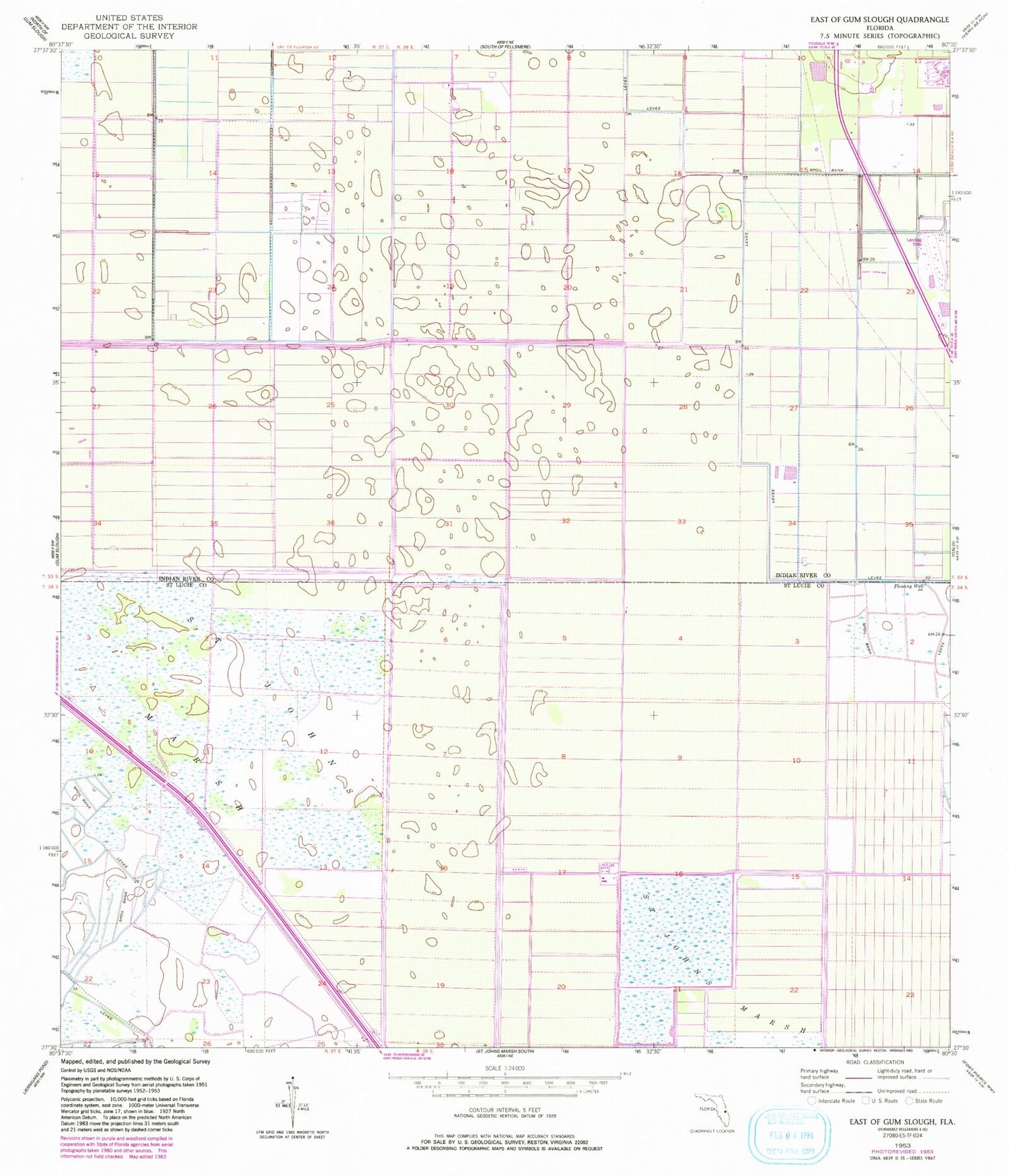
MyTopo
Classic USGS East of Gum Slough Florida 7.5'x7.5' Topo Map
Regular price
$16.95
Regular price
Sale price
$16.95
Unit price
per
Couldn't load pickup availability
Historical USGS topographic quad map of East of Gum Slough in the state of Florida. Map scale may vary for some years, but is generally around 1:24,000. Print size is approximately 24" x 27"
This quadrangle is in the following counties: Indian River, St. Lucie.
The map contains contour lines, roads, rivers, towns, and lakes. Printed on high-quality waterproof paper with UV fade-resistant inks, and shipped rolled.
Contains the following named places: Calvary Baptist Church, Indian River Aerodrome, Indian River City West Regional Treatment Plant, Marsh Airstrip, Pasco Packing Company Lake, Swords Pond, Wee Bee Sky Ranch Airport


