MyTopo
Classic USGS East of Lone Palm Head Florida 7.5'x7.5' Topo Map
Regular price
$16.95
Regular price
Sale price
$16.95
Unit price
per
Couldn't load pickup availability
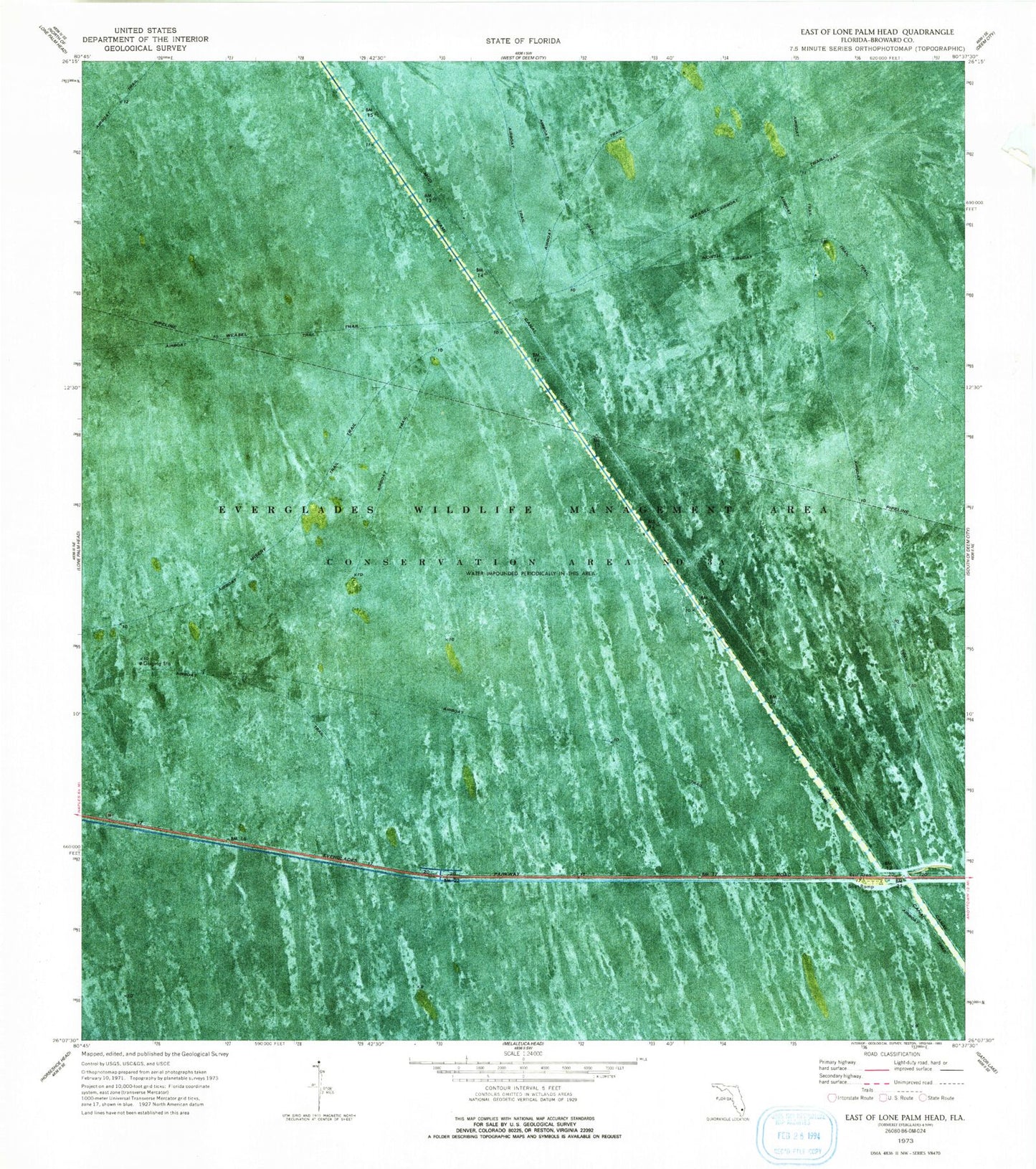
Historical USGS topographic quad map of East of Lone Palm Head in the state of Florida. Map scale may vary for some years, but is generally around 1:24,000. Print size is approximately 24" x 27"
This quadrangle is in the following counties: Broward.
The map contains contour lines, roads, rivers, towns, and lakes. Printed on high-quality waterproof paper with UV fade-resistant inks, and shipped rolled.
Contains the following named places: Broward County Sheriff's Office, Broward County Sheriffs Office Department of Fire Rescue and Emergency Services Station 106, Misery Trail, Mud Canal, Weasel Trail