MyTopo
Classic USGS East of Tenabo Nevada 7.5'x7.5' Topo Map
Regular price
$16.95
Regular price
Sale price
$16.95
Unit price
per
Couldn't load pickup availability
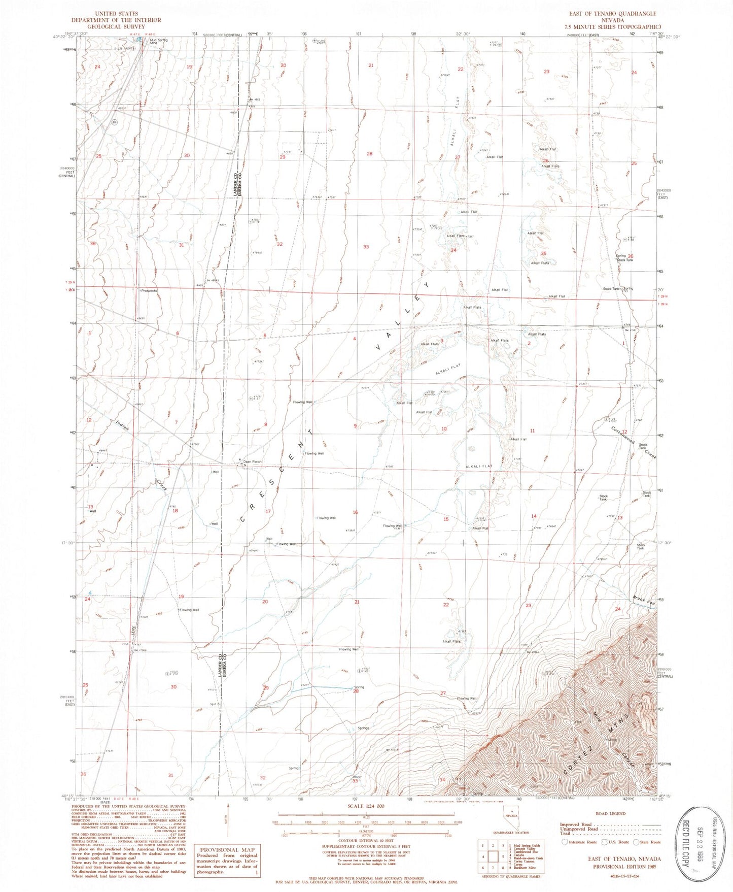
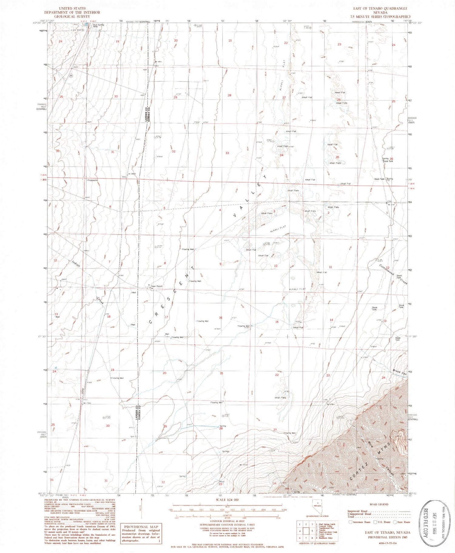
Historical USGS topographic quad map of East of Tenabo in the state of Nevada. Map scale may vary for some years, but is generally around 1:24,000. Print size is approximately 24" x 27"
This quadrangle is in the following counties: Eureka, Lander.
The map contains contour lines, roads, rivers, towns, and lakes. Printed on high-quality waterproof paper with UV fade-resistant inks, and shipped rolled.
Contains the following named places: Brock Canyon, Cooks Creek, Cottonwood Creek, Crescent Valley, D Filippini Ranch, Dean Ranch, Hussey Well, Indian Creek, Mud Spring Mine, Mule Canyon, Well Number Five, Well Number Four, Well Number One, Well Number Seven, Well Number Six, Well Number Three, Well Number Two