MyTopo
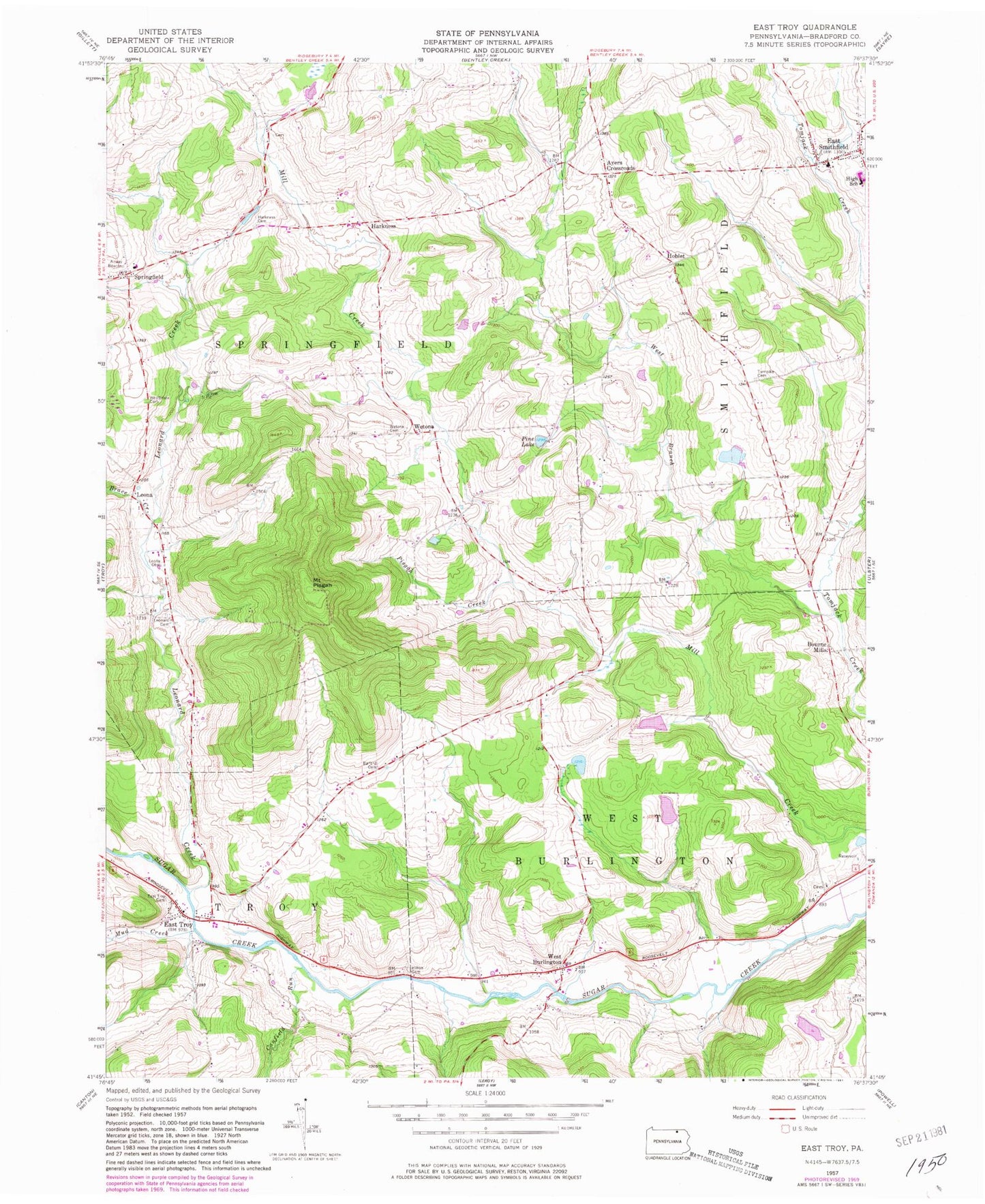
Classic USGS East Troy Pennsylvania 7.5'x7.5' Topo Map
Couldn't load pickup availability
Historical USGS topographic quad map of East Troy in the state of Pennsylvania. Map scale may vary for some years, but is generally around 1:24,000. Print size is approximately 24" x 27"
This quadrangle is in the following counties: Bradford.
The map contains contour lines, roads, rivers, towns, and lakes. Printed on high-quality waterproof paper with UV fade-resistant inks, and shipped rolled.
Contains the following named places: AKM Airfield, Allen Cemetery, Ayers Crossroads, Ballard Cemetery, Bourne Mills, Brace Creek, Canfield Run, East Smithfield, East Smithfield Cemetery, East Smithfield Post Office, East Troy, East Troy Cemetery, Harkness, Harkness Cemetery, Harkness School, Hilton Cemetery, Hoblet, Leona, Leona Cemetery, Leonard Cemetery, Leonard Creek, Mount Pisgah, Mount Pisgah State Park, Mud Creek, Old Methodist Church Cemetery, Phillips Family Cemetery, Pine Lake, Pisgah Creek, Rice Family Cemetery, Smithfield Township Volunteer Fire Department, Springfield, State Game Lands Number 289, Stephen Foster Dam, Stephen Foster Lake, Township of Springfield, Township of West Burlington, Turnpike Cemetery, Utter Edger Family Cemetery, West Burlington, Westbrook Cemetery, Wetona, Wetona Cemetery, William Pierce Family Cemetery, ZIP Code: 18817


