MyTopo
Classic USGS Eastern Saint John Virgin Islands 7.5'x7.5' Topo Map
Couldn't load pickup availability
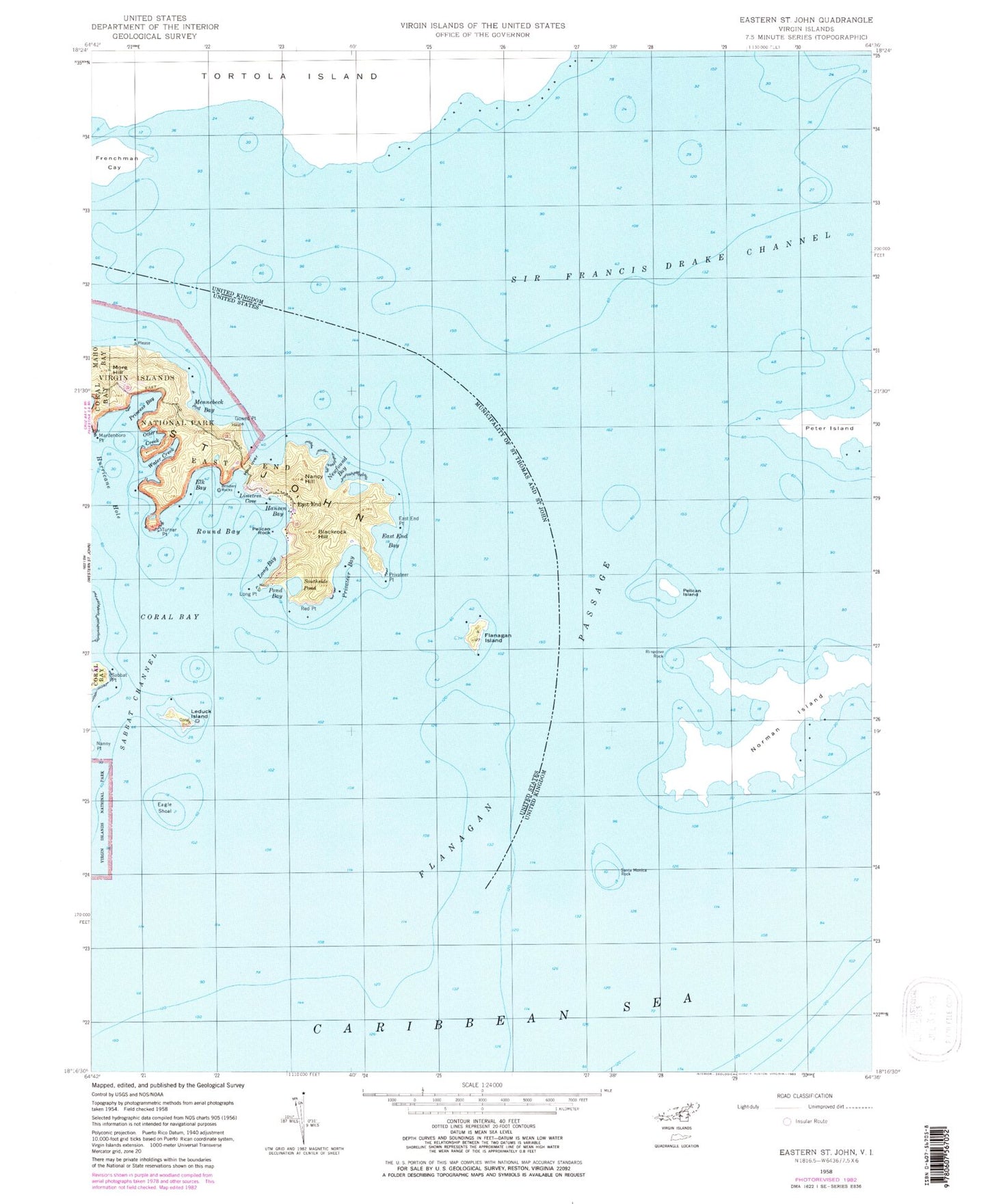
Historical USGS topographic quad map of Eastern Saint John in the state of Virgin Islands. Map scale may vary for some years, but is generally around 1:24,000. Print size is approximately 24" x 27"
This quadrangle is in the following counties: St. John.
The map contains contour lines, roads, rivers, towns, and lakes. Printed on high-quality waterproof paper with UV fade-resistant inks, and shipped rolled.
Contains the following named places: Blackrock Hill, Blinders Rocks, Calvary Church, Coral Bay, Eagle Shoal, East End, East End Bay, East End Point, Eastend Moravian School, Elk Bay, Erins Point, Estate Hansen Bay, Estate Haulover, Estate Mount Pleasant and Retreat, Flanagan Island, Flanagan Passage, Friis Bay, Gowed Bay, Gowed Point, Hansen Bay, Hansen Bay Beach, Haulover, Haulover Bay, Haulover Beach, Hurricane Hole, Leduck Island, Limetree Cove, Long Bay, Long Bay Beach, Long Point, Mardenboro Point, Mennebeck Bay, More Hill, Nancy Hill, Nanny Point, Nathaniel Bay, Newfound Bay, North Fort, Otter Creek, Pelican Rock, Pleasant Point, Pond Bay, Pope Point, Princess Bay, Privateer Bay, Privateer Point, Red Point, Round Bay, Sabbat Channel, Sabbat Point, Southside Pond, Turner Point, Water Creek, Watercreek Point, Whitesand Bay


