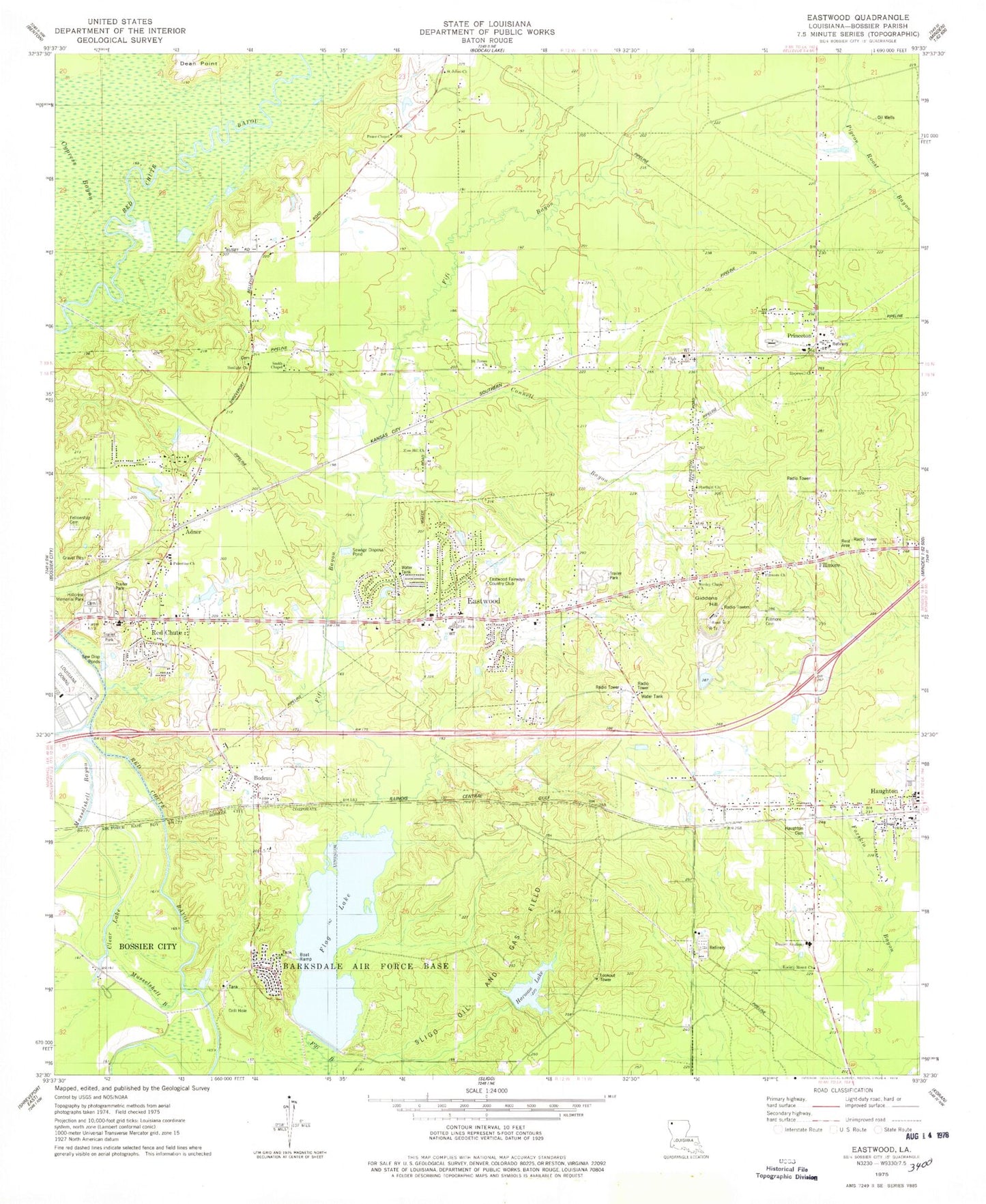
MyTopo
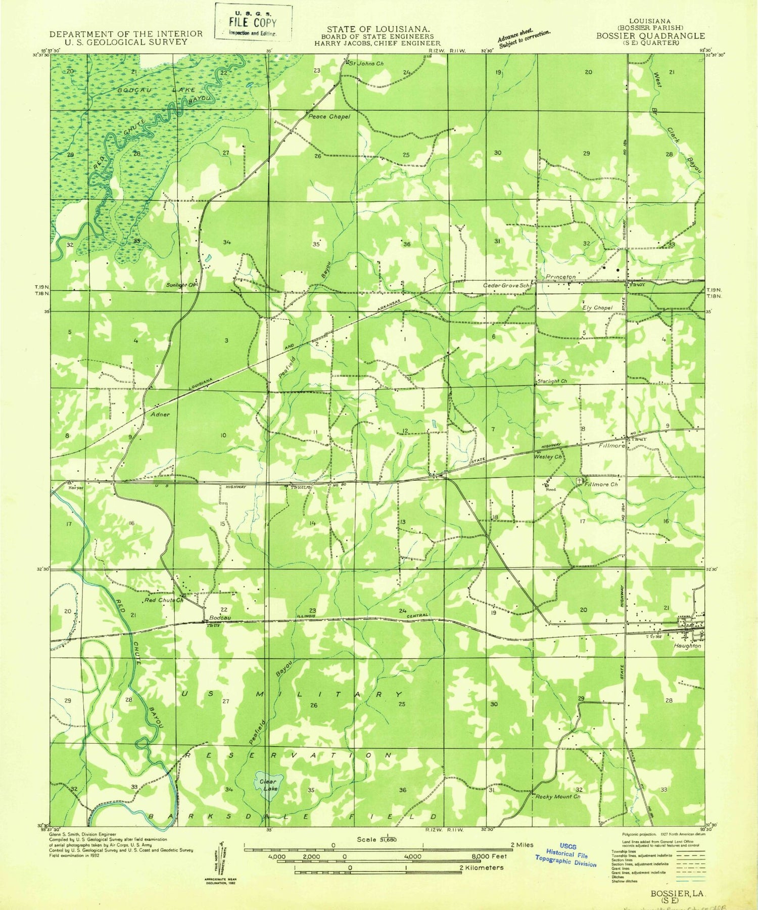
Classic USGS Eastwood Louisiana 7.5'x7.5' Topo Map
Couldn't load pickup availability
Historical USGS topographic quad map of Eastwood in the state of Louisiana. Map scale may vary for some years, but is generally around 1:24,000. Print size is approximately 24" x 27"
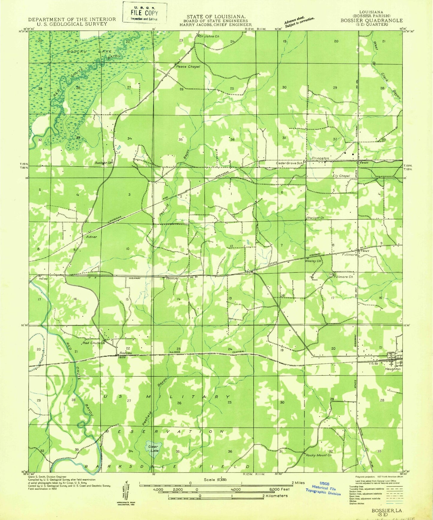
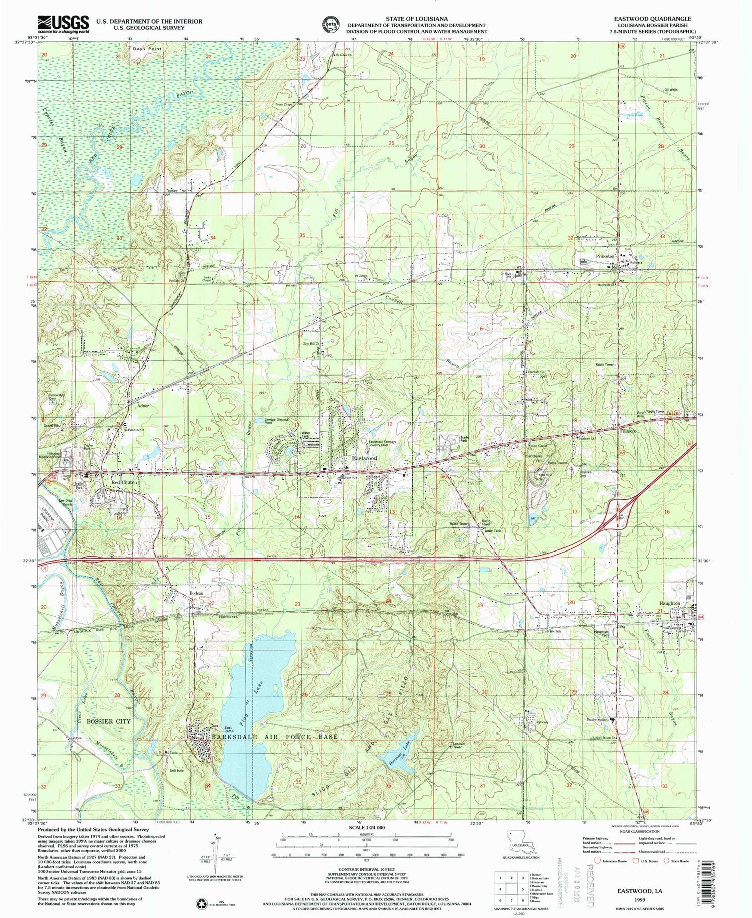
This quadrangle is in the following counties: Bossier.
The map contains contour lines, roads, rivers, towns, and lakes. Printed on high-quality waterproof paper with UV fade-resistant inks, and shipped rolled.
Contains the following named places: Adner, Bodcau, Bodcau Park, Bossier Academy, Bossier Parish Fire District 1 Station 1, Bossier Parish Fire District 1 Station 2, Bossier Parish Fire District 1 Station 3, Clear Lake, Connell Bayou, Country Place, Crestwood Heights, Cypress Bayou, Dean Point, Dogwood Acres, Dogwood Estates, Dogwood Forest, Dogwood Hills, Dogwood Park, Eastwood, Eastwood Census Designated Place, Eastwood Fairways Country Club, Espanita Forest, Espanita Village, Fellowship Cemetery, Fillmore, Fillmore Cemetery, Fillmore Church, Flag Lake, Flag Lake Dam, Giddens Hill, Happy Meadows, Harmon Lake, Harmon Lake Dam, Haughton, Haughton Cemetery, Haughton Elementary School, Haughton High School, Haughton Police Department, Haughton Post Office, Haughton Volunteer Fire Department, Hillcrest Memorial Park, Holly Ridge, Hopewell Church, Louisiana Downs, Merrywoods, Mimosa Gardens, Morris, Musselshell Bayou, Oak Thicket Acres, Oak Thicket Shopping Center, Palestine Church, Parish Governing Authority District 10, Parish Governing Authority District 2, Pease Chapel, Platt Elementary School, Princeton, Princeton Elementary School, Princeton Post Office, Red Chute, Red Chute Census Designated Place, Red Chute Church, Rockey Mount Church, Saint James Church, Saint Johns Church, Shady Park, Sligo Oil and Gas Field, Smith Chapel, South Merrywoods, Starlight Church, Sunlight Church, T L Rodes Elementary School, Tall Timbers, Touchstone Ridge Ultralight Flightpark, Town of Haughton, Wafer Forest, Ward Four, Wesley Chapel Church, Zion Hill Church, ZIP Codes: 71067, 71110