MyTopo
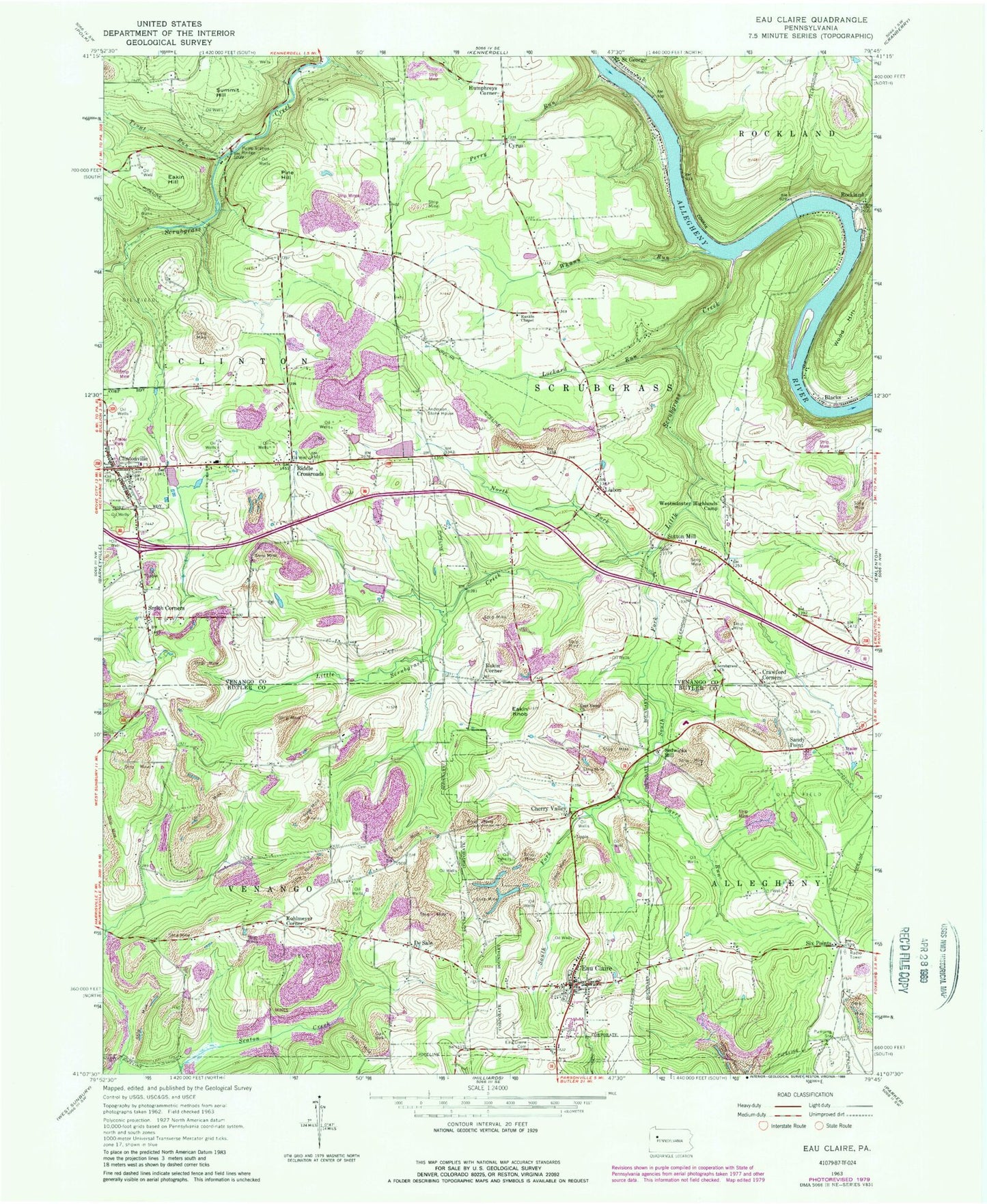
Classic USGS Eau Claire Pennsylvania 7.5'x7.5' Topo Map
Couldn't load pickup availability
Historical USGS topographic quad map of Eau Claire in the state of Pennsylvania. Typical map scale is 1:24,000, but may vary for certain years, if available. Print size: 24" x 27"
This quadrangle is in the following counties: Butler, Venango.
The map contains contour lines, roads, rivers, towns, and lakes. Printed on high-quality waterproof paper with UV fade-resistant inks, and shipped rolled.
Contains the following named places: Anderson Stone House, Blacks, Carrs Run, Cherry Valley, Clintonville, Crawford Corners, De Sale, Eakin Hill, Eakin Knob, East Unity Church, Eau Claire, Eau Claire Cemetery, Lisbon, Little Scrubgrass Creek, Lockard Run, North Fork Little Scrubgrass Creek, Perry Run, Pine Hill, Rankin Chapel, Riddle Crossroads, Rockland, Sandy Point, Scrubgrass Church, Shull Run, Smith Corners, South Fork Little Scrubgrass Creek, Summit Hill, Sutton Mill, Trout Run, Westminster Highlands Camp, Whann Run, Wood Hill, Lake Johnston, Johnston Dam, Cyrus, Eakin Corner, Humphreys Corner, Kohlmeyer Corner, Sedwicks Mill, Six Points, Pisgah School (historical), Rock School, Coal Valley School, Pine Hill School, Kennerdale School (historical), McCoy School, Rockdale School, Downing School, Lovell School, Maitland School (historical), Cherry Valley School (historical), Pine Grove, Borough of Cherry Valley, Borough of Eau Claire, Borough of Clintonville, Township of Venango, Township of Clinton, Township of Scrubgrass, Annandale Sandstone Quarry, Clintonville Volunteer Fire Station and Relief Association, Eau Claire Volunteer Fire Department and Relief Association Station 32, Clintonville Post Office, Eau Claire Post Office, East Unity Cemetery, Old Eau Claire Farmington Methodist Episcopal Church Cemetery, Pisgah Cemetery


