MyTopo
Classic USGS Ebbetts Pass California 7.5'x7.5' Topo Map
Couldn't load pickup availability
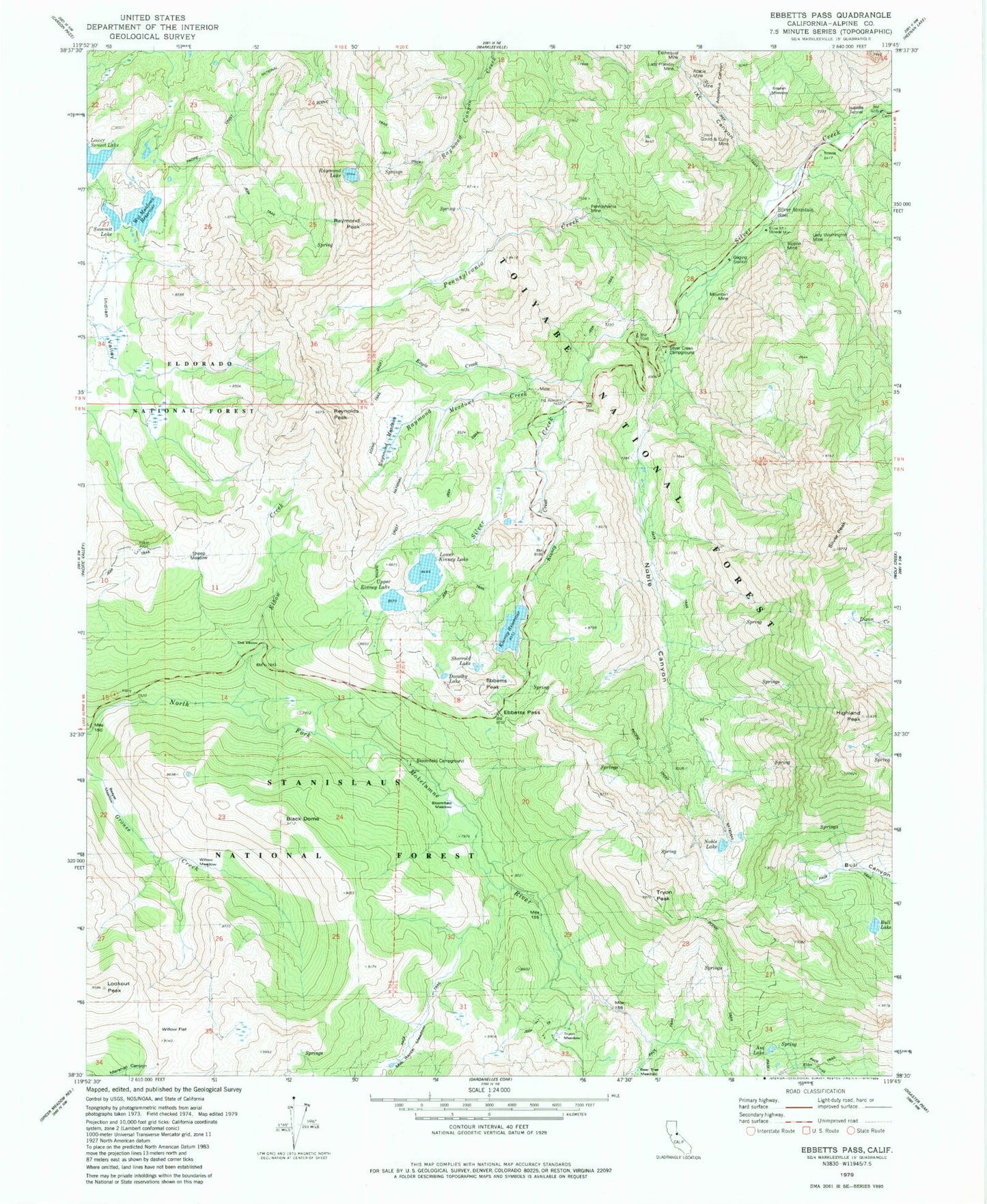
Historical USGS topographic quad map of Ebbetts Pass in the state of California. Typical map scale is 1:24,000, but may vary for certain years, if available. Print size: 24" x 27"
This quadrangle is in the following counties: Alpine.
The map contains contour lines, roads, rivers, towns, and lakes. Printed on high-quality waterproof paper with UV fade-resistant inks, and shipped rolled.
Contains the following named places: Black Dome, Highland Peak, Acacia Mine, Adolphus Canyon, Asa Lake, Beaver Meadow, Bloomfield Campground, Bloomfield Meadow, Bull Lake, Dorothy Lake, Eagle Creek, Ebbetts Pass, Elbow Creek, English Meadow, Excheque Mine, Gould and Curry Mine, IXL Canyon, IXL Mine, Indian Valley, Isabella Tunnel, Kinney Creek, Kinney Reservoir, Lady Franklin Mine, Lady Washington Mine, Lookout Peak, Lower Kinney Lake, Milk Ranch Meadow, Mountain Mine, Noble Canyon, Noble Lake, Pennsylvania Creek, Pennsylvania Mine, Raymond Lake, Raymond Meadows, Raymond Meadows Creek, Raymond Peak, Reynolds Peak, Rippon Mine, Sheep Meadow, Sherrold Lake, Silver Creek Campground, Silver Mountain (historical), Silver Mountain Mineral Monument, Silver Peak, Summit Lake, The Elbow, Tryon Meadow, Tryon Peak, Upper Kinney Lake, Wet Meadows Reservoir, Willow Flat, Willow Meadow, Noble Creek, Pacific Crest Trailhead, Ebbetts Peak, Ebbetts Pass Trailhead, Wet Meadows, Kinney Meadows 513 Dam, Lower Kinney Lake 513-002 Dam, Upper Kinney Lake 513-006 Dam, Wet Meadows 513-008 Dam, Alpine County, Markleeville Division, Silver Mountain Cemetery, Kinney Lakes


