MyTopo
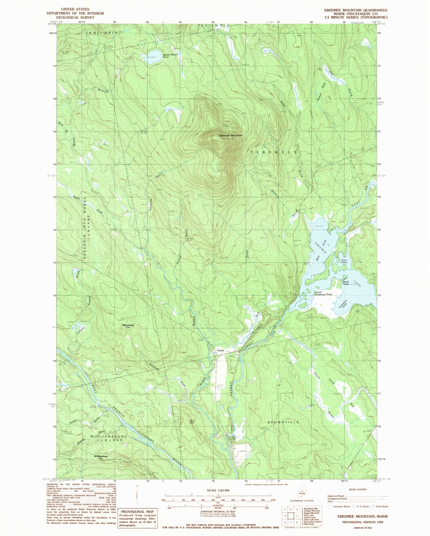
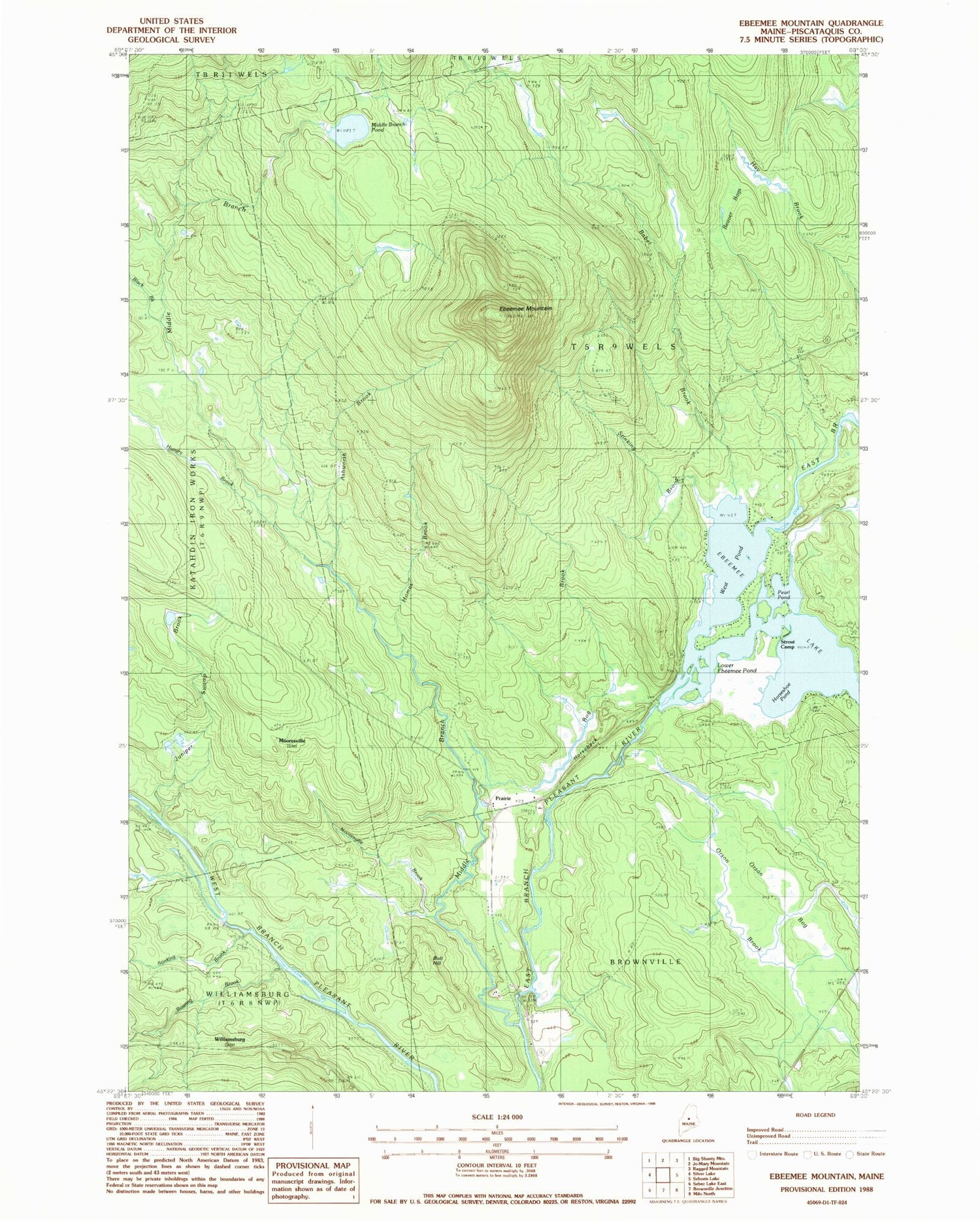
Classic USGS Ebeemee Mountain Maine 7.5'x7.5' Topo Map
Couldn't load pickup availability
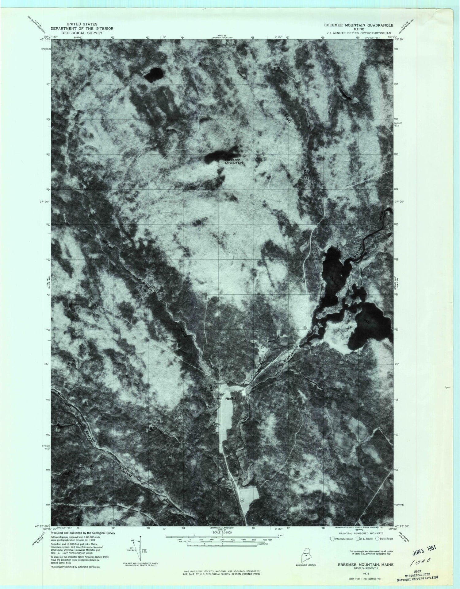
Historical USGS topographic quad map of Ebeemee Mountain in the state of Maine. Typical map scale is 1:24,000, but may vary for certain years, if available. Print size: 24" x 27"
This quadrangle is in the following counties: Piscataquis.
The map contains contour lines, roads, rivers, towns, and lakes. Printed on high-quality waterproof paper with UV fade-resistant inks, and shipped rolled.
Contains the following named places: Ashworth Brook, Babel Brook, Beaver Bogs, Black Brook, Bog Brook, Bull Hill, Ebeemee Lake, Ebeemee Mountain, Homes Brook, Horseback, Horseshoe Pond, Hungry Brook, Juniper Swamp Brook, Lower Ebeemee Pond, Middle Branch Pleasant River, Middle Branch Pond, Mooresville Brook, Number Two Trail, Orson Bog, Orson Brook, Pearl Pond, Roaring Brook, Stinking Brook, Stinking Brook, Strout Camp, West Pond, Mooresville, Prairie, Williamsburg, Ebeemee Township