MyTopo
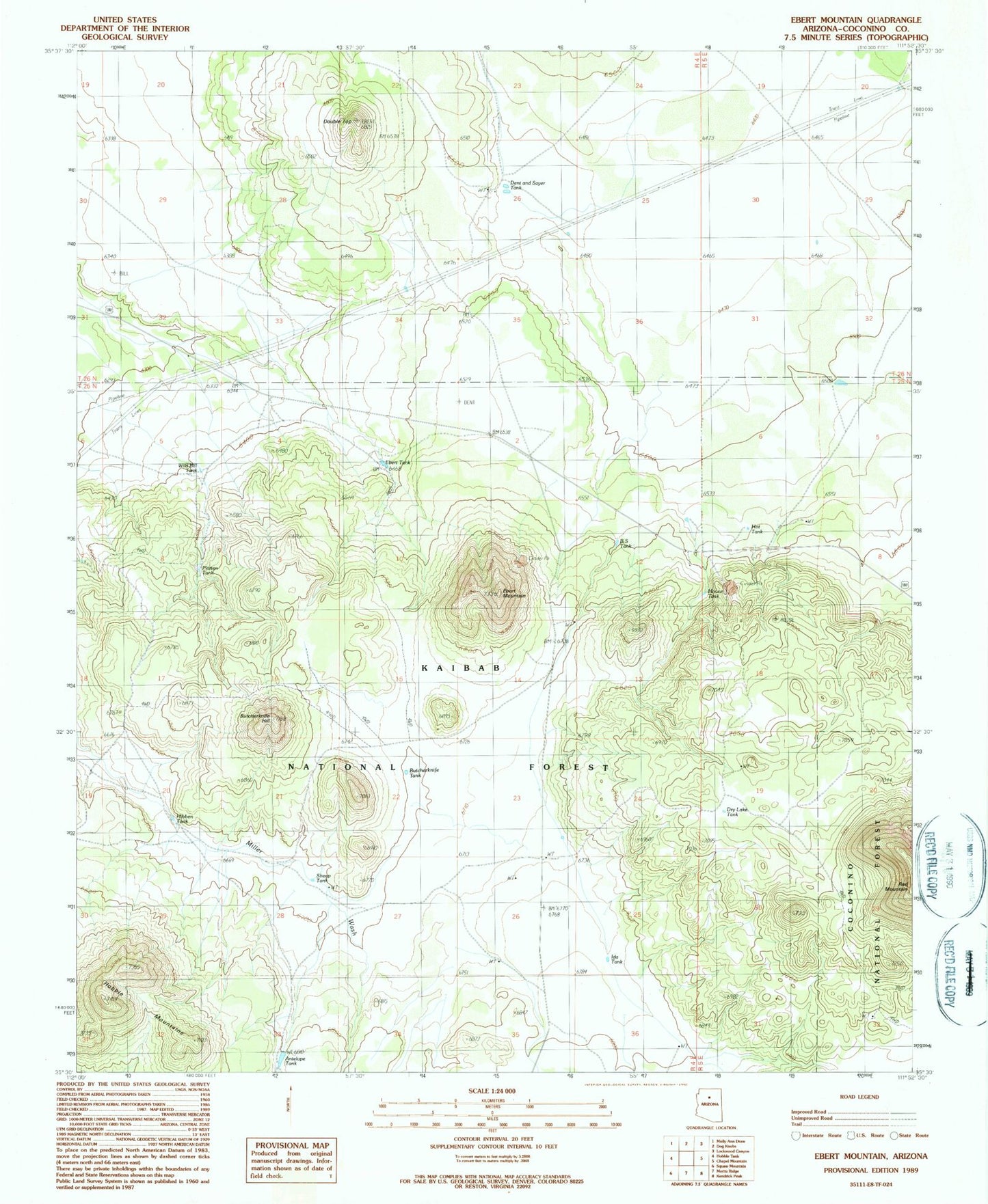
Classic USGS Ebert Mountain Arizona 7.5'x7.5' Topo Map
Couldn't load pickup availability
Historical USGS topographic quad map of Ebert Mountain in the state of Arizona. Typical map scale is 1:24,000, but may vary for certain years, if available. Print size: 24" x 27"
This quadrangle is in the following counties: Coconino.
The map contains contour lines, roads, rivers, towns, and lakes. Printed on high-quality waterproof paper with UV fade-resistant inks, and shipped rolled.
Contains the following named places: Antelope Tank, BS Tank, Butcherknife Hill, Butcherknife Tank, Dent and Sayer Ranch (historical), Double Top, Dry Lake Tank, Ebert Mountain, Ebert Tank, Hot Tank, House Tank, Nagiller Ranch (historical), Platten Tank, Red Mountain, Sheep Tank, Wild Bill Tank, Dog Knobs Trick Tank, Salt Mine Substation, Dent and Sayer Tank, Ida Tank, Arizona Game and Fish TrickTank, Nagiller Corral and Scales, Nagiller Winter Camp, Everett Guzzler, Ford Tank, Cinder Pit Tank, Ebert Guzzler, Webster Tank, Pinyon Tank


